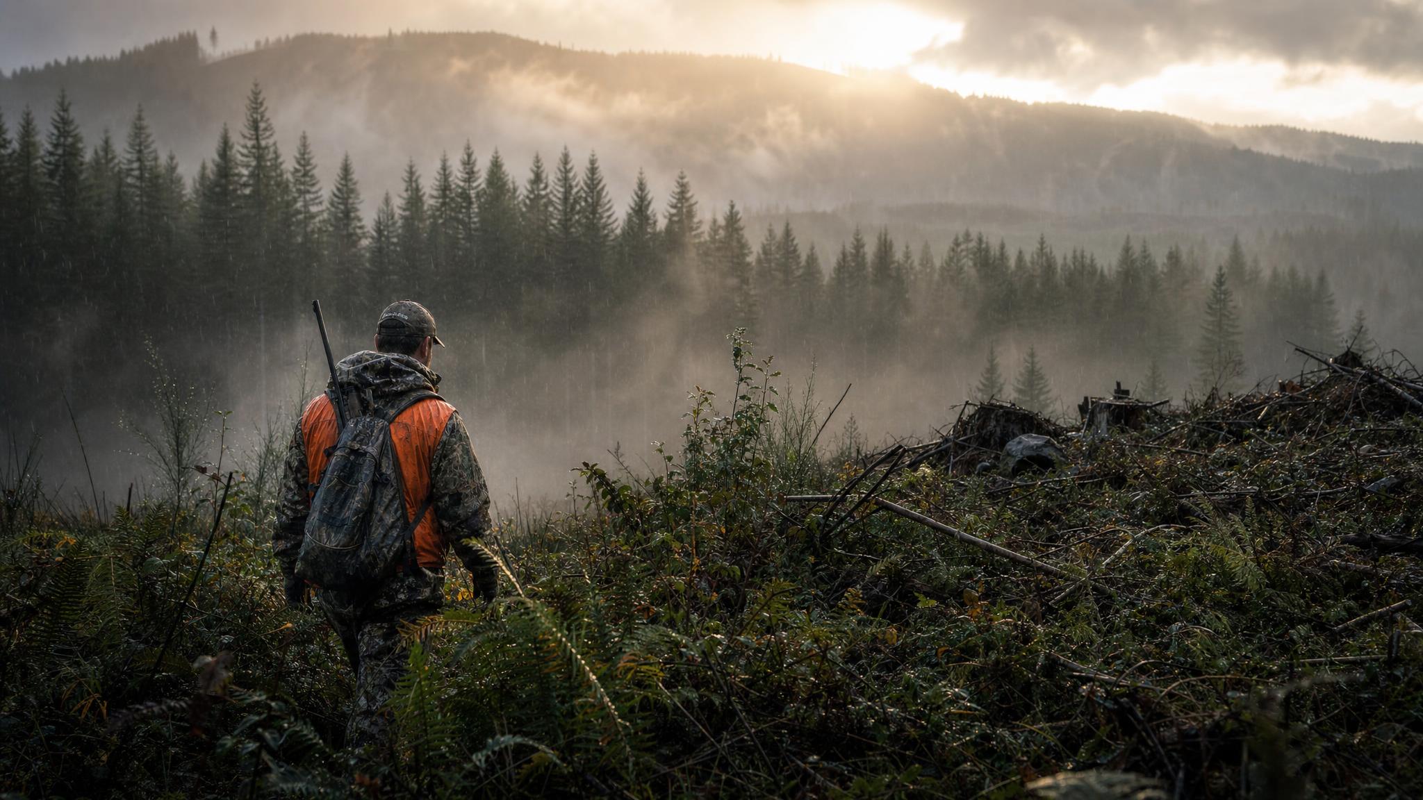
There's a mental map that most Oregon hunters carry: the road they always take to the ridge they always glass, the unit they drew up on with their buddy five years ago, the drainage where they know a bull lives because their dad hunted it before them. That's real knowledge and it has value. But it's also the same map every other hunter with that tag is running. The country that produces giant mule deer bucks, unpressured elk herds, and solo pronghorn flats isn't secret — it's just inconvenient. And inconvenience is a filter that most hunters never learn to work around.
Oregon has 32 million acres of public land. USFS and BLM manage the majority of it, and the tools to navigate all of it are free or close to it. Here's how to use them to find hunting ground that doesn't show up on anyone else's radar.
The Three-Layer Public Land Map System
Effective public land navigation combines three distinct data sources, each filling in what the others miss.
Layer 1: USFS Motor Vehicle Use Maps (MVUMs)
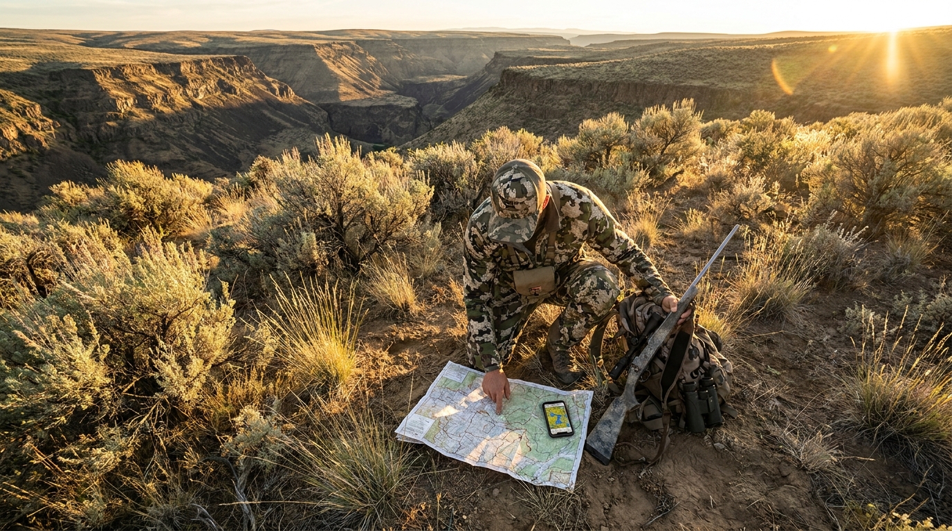
Motor Vehicle Use Maps are the Forest Service's official road maps for each national forest, updated periodically and available as free PDFs from the USFS website or free paper copies from district ranger offices. MVUMs show every road and motorized trail open to public travel, their season dates, and the vehicle class permitted. They're the definitive authority on what you can legally drive, and they're the primary tool for planning vehicle-access routes into backcountry hunting areas.
What most hunters miss: MVUMs also implicitly show you where you cannot drive. Every gated road, every road closed to motor vehicles beyond a certain point, every foot-access-only drainage is visible on the MVUM. Those closures are where elk go when hunting pressure picks up. Download the MVUM for every national forest in your unit before season — Umatilla, Wallowa-Whitman, Ochoco, Fremont-Winema — and study the closures as intently as the open roads.
Layer 2: BLM Surface Management Maps
BLM Surface Management Maps show land ownership by color — federal (yellow for BLM, green for USFS), state, tribal, and private. They're the backbone of public-private boundary navigation and are especially critical in eastern Oregon where public and private land interleaf in complex checkerboard patterns. Available free from BLM state and district offices, or as downloadable PDFs from the BLM website.
The practical skill here is learning to identify public land islands — sections of federal land surrounded on three or four sides by private, accessible only via a legal access route most hunters never locate. These isolated BLM sections often hold game that hasn't been pressured because the access barrier filters out casual hunters. Finding the legal entry route — a public road easement, a BLM access corridor, a state highway right-of-way — requires careful cross-referencing of the surface management map against county road maps and sometimes a direct call to the local BLM district office.
Layer 3: OnX Hunt
OnX is the field-verification layer. While MVUMs and BLM surface maps give you the big picture, OnX provides real-time GPS navigation on the landscape, crowd-sourced waypoints, landowner information, and property boundary overlays that are regularly updated. The Oregon state layer is worth the annual subscription price in the first season you use it.
Critical OnX skills for Oregon hunters:
- Download offline maps before you go — cell coverage in most eastern Oregon hunting units is nonexistent, and your map is worthless if it requires a data connection
- Use the ownership filter to color-code public land in real time as you move through mixed-ownership country
- Drop waypoints aggressively: water sources, glassing knobs, fresh sign locations, fence crossings with legal access — build a waypoint library over multiple seasons and your map becomes a hunting log
- Property owner names and contact info (available in OnX) can open doors for adjacent private land permission requests when you've done your public land reconnaissance
Finding the Overlooked Country
The practical workflow for finding under-hunted Oregon public land looks like this:
- Pull up the BLM surface map for your target unit. Identify every block of public land that is not directly adjacent to a Forest Service or county road. These are your primary targets.
- Cross-reference with the USFS MVUM to determine what foot access looks like. Is there a closed road that allows hiking? A trail that enters the area from a distant trailhead?
- Calculate the one-way foot distance to reach these areas. For mule deer and elk in eastern Oregon, anything over 2.5 miles of hiking from the nearest legal vehicle access filters out 80% of hunters. Over 4 miles, you're in genuine wilderness hunting pressure territory.
- Use satellite imagery in OnX or Google Earth to evaluate terrain — north-facing drainages with timber, water sources, elevation transitions between 5,000 and 7,500 feet for elk, ridge systems with connecting saddles for mule deer travel corridors.
- In the field, verify every boundary assumption against physical markers. Fence lines do not always match property boundaries. Posted signs can be placed on the wrong side of a line. Carry your OnX offline map and check your GPS position against the boundary layer before entering any potentially private parcel.
The Wilderness Study Area Advantage
Oregon's BLM-managed Wilderness Study Areas (WSAs) are among the most overlooked hunting ground in the state. These areas are managed as de facto wilderness — no motorized vehicles, no mechanical transport, limited development — but they don't carry the name recognition of designated Wilderness and rarely appear in hunting forums or social media posts. The Owyhee River country alone contains hundreds of thousands of WSA acres that most Oregon hunters have never set foot in. Study the BLM WSA map layer and treat every one as a potential low-pressure trophy area.
Paper Maps Still Matter
OnX goes down. Phones die. Satellite communicators run out of battery. A laminated 7.5-minute USGS topo of your core hunting area, combined with a baseplate compass and the ability to take a bearing, is the insurance policy that turns a navigation failure into a minor inconvenience. The paper-and-compass skill set takes an afternoon to learn and a season to internalize. Add it to your pre-season prep alongside your physical conditioning and your cold bore characterization. In Oregon's backcountry, the hunters who find the best country are the ones who know how to navigate — and know when the electronic tools have limits.