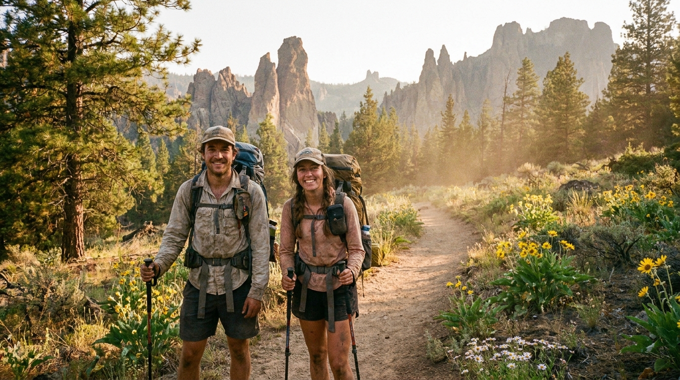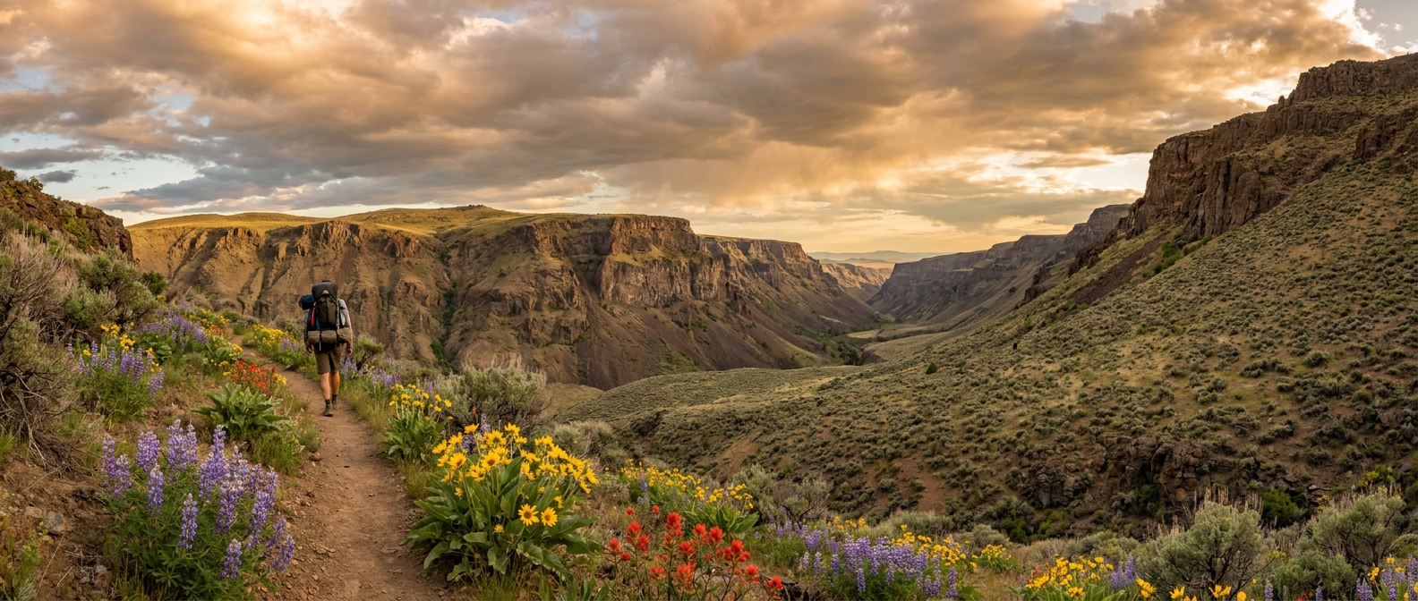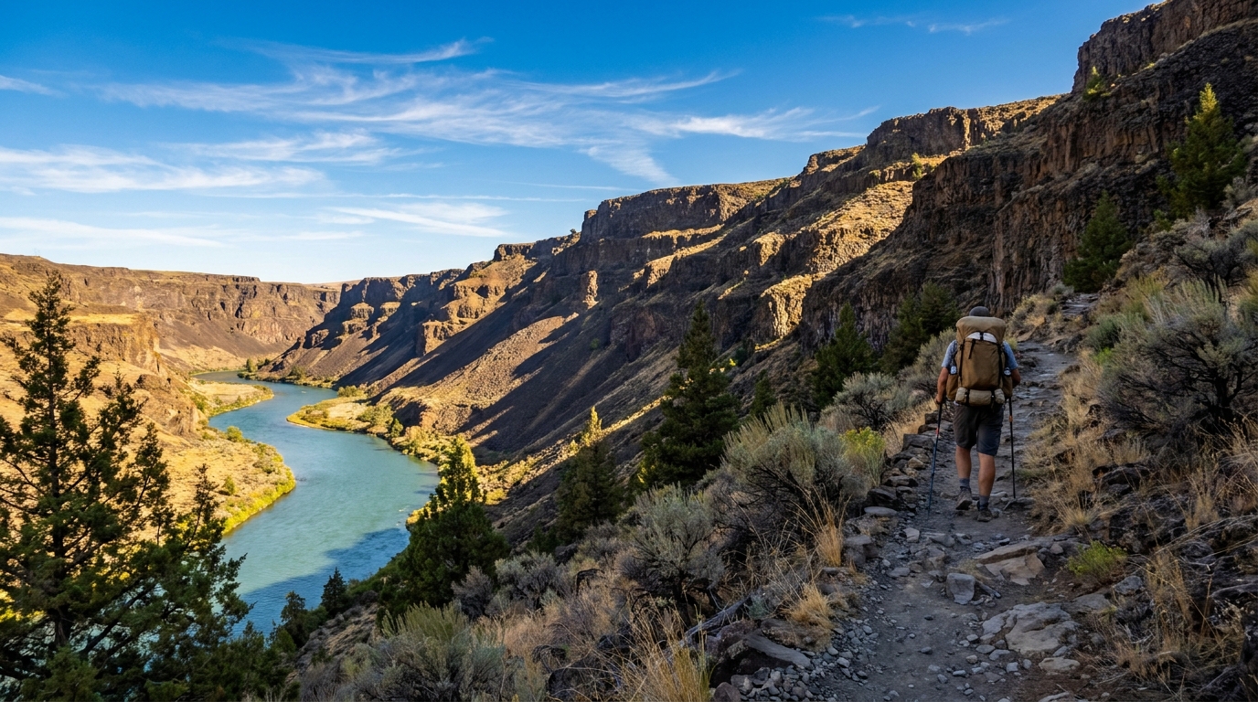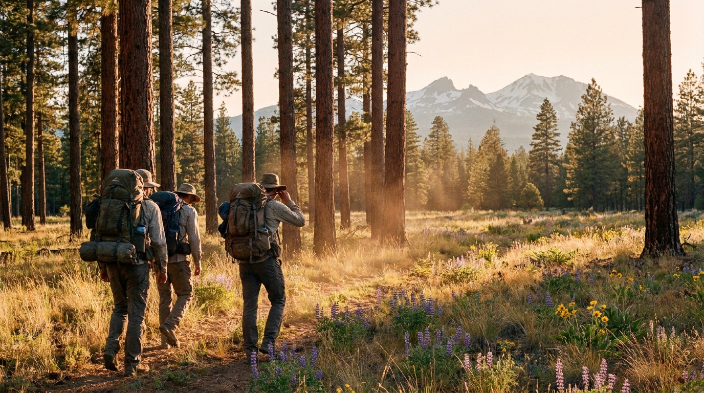
Name the great backpacking destinations of Oregon and most lists run through predictable territory: Eagle Cap Wilderness, the Three Sisters, Waldo Lake, Crater Lake Rim. These are genuinely excellent places. They are also genuinely crowded. If you want solitude in southern Oregon’s mountains without driving to a remote trailhead that requires a high-clearance vehicle and three hours from anywhere, the Fremont-Winema National Forest is one of the state’s most underappreciated options.
The combined Fremont-Winema covers 2.3 million acres stretching from the eastern slope of the Cascades near Klamath Falls east through the Warner Mountains and south toward the California border. The forest contains a patchwork of wilderness areas, roadless zones, and designated trails that see a tiny fraction of the foot traffic that comparable terrain attracts in the Three Sisters or Eagle Cap. On a July weekend when the Obsidian Trail permit system has a waiting list, you can camp in the Fremont corridor for three nights without seeing another tent.
The Route: Sycan River Headwaters Loop
This 3-day, approximately 22-mile loop begins at the Campbell Lake Trailhead on Forest Road 28, roughly 45 miles northeast of Bly, Oregon. The trailhead sits at 6,800 feet in open ponderosa forest and is accessible via gravel road to most two-wheel-drive vehicles in dry conditions.
Day 1: Campbell Lake to Dead Horse Lake (7.5 miles)
From the trailhead, head north on Trail 3720 through open ponderosa and lodgepole forest with long sight lines and scattered volcanic rock outcrops that characterize the Fremont landscape. The terrain rolls gently through what feels like a more open, drier version of the central Cascades. Watch for mule deer and pronghorn early in the morning on the meadow sections—this country holds legitimate numbers of both.
At roughly mile 4, you cross the headwaters of the Sycan River, here little more than a clear, cold creek pushing through a wet meadow. Fill water here if needed. The trail continues northeast, gaining modest elevation before dropping to Dead Horse Lake at mile 7.5. Camp on the east shore away from the inlet for the best site selection and morning light. Dead Horse Lake sits at 6,600 feet and holds wild trout—bring a collapsible rod if fishing interests you.
Day 2: Dead Horse Lake to Sandhill Crossing (8 miles)
This is the heart of the loop and its most rewarding section. Head northeast from camp on Trail 3714, climbing through open ponderosa to a ridgeline that offers views south into the Klamath Basin and, on clear days, north toward the Three Sisters and Mount Thielsen. The volcanic cone of Brown Mountain is visible to the northwest.
The trail descends into the upper Sycan drainage through a series of wet meadows that attract sandhill cranes and great blue herons. Elk sign is heavy here—wallows, rubs, and tracks in the soft meadow margins are common throughout the summer. By late August, bulls in velvet are occasionally visible from the trail in the early morning hours, which makes this stretch genuinely special for hunters scouting the country ahead of the September archery opener.
Camp at Sandhill Crossing (mile 15.5 from the start), where the creek provides reliable water and a flat sandy bank makes for comfortable tent sites among a grove of large ponderosa.
Day 3: Sandhill Crossing back to Campbell Lake Trailhead (6.5 miles)
The return leg follows Trail 3720 south through different terrain than the outbound route—here the forest opens into dry, rocky meadows with views of Fremont Point to the east. The final two miles return to familiar ponderosa corridor before the trailhead. If you are not in a hurry, the short spur to Campbell Lake’s south shore is worth the extra quarter mile for a lunch break before loading the truck.
Water, Wildlife, and Hazards
Water sources are reliable through mid-July and generally adequate through August in wetter years, but the Fremont country is drier than the western Cascades and sources can diminish by late summer. Carry a 3-liter capacity and filter at every opportunity. A Sawyer Squeeze or Katadyn BeFree filter handles the clear, cold water here without issues.
Black bears are present but rarely a problem in the Fremont-Winema. A canister or Ursack is not required by regulation, but hanging food from a ponderosa using the PCT method is good practice. Rattlesnakes are present at lower elevations—watch your step on rocky sections below 6,000 feet, particularly in the morning when they sun themselves on south-facing rock.
Getting There
From Klamath Falls, drive north on US-97, then east on OR-140 through Bly. From Bly, take Forest Road 28 north toward Campbell Reservoir. The trailhead is signed. No permits are required for overnight camping in this section of Fremont-Winema. A Northwest Forest Pass or America the Beautiful pass is required for day-use parking at the trailhead.
Cell service is absent throughout the route. Download offline maps via OnX or Gaia GPS before departure, and file a trip plan with someone who knows your expected return date. This is legitimate backcountry, and its solitude is part of its value—lean into both.
The Fremont-Winema will not give you the dramatic above-timberline scenery of the Eagle Cap or the volcanic moonscape of the Three Sisters. What it gives you instead is space, silence, wildlife, and the particular satisfaction of knowing you are walking ground that most Oregon backpackers have never set foot on.