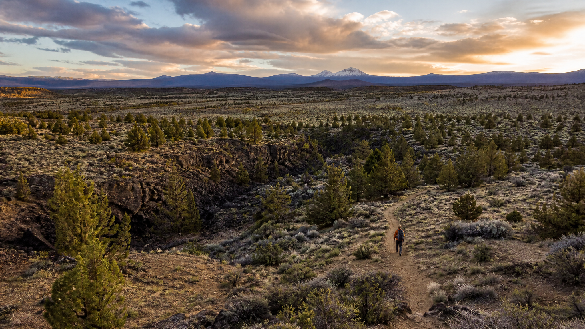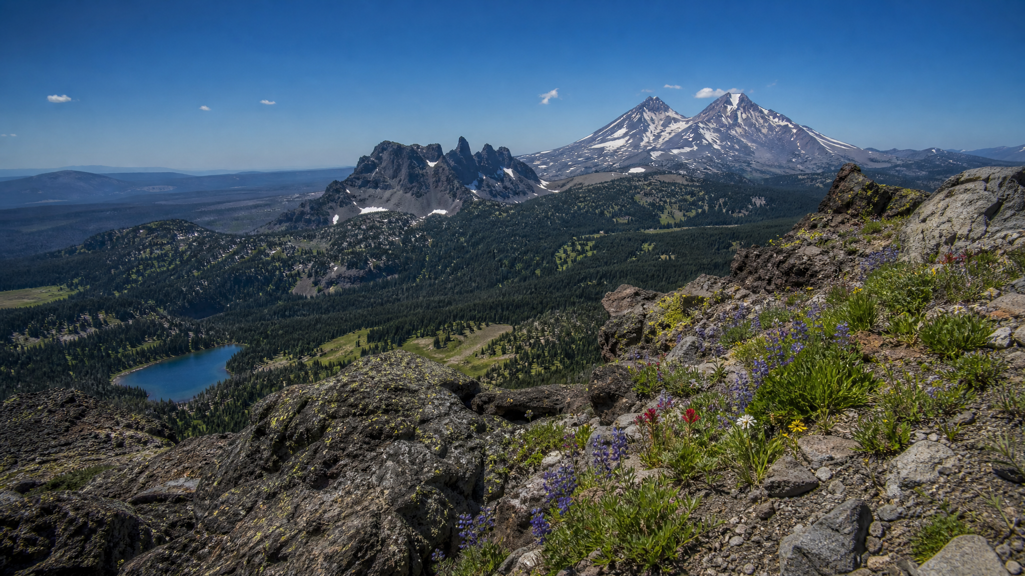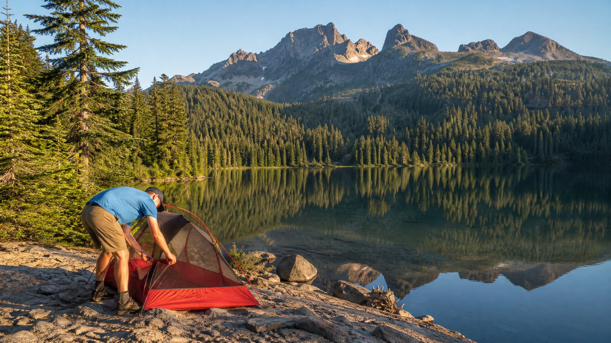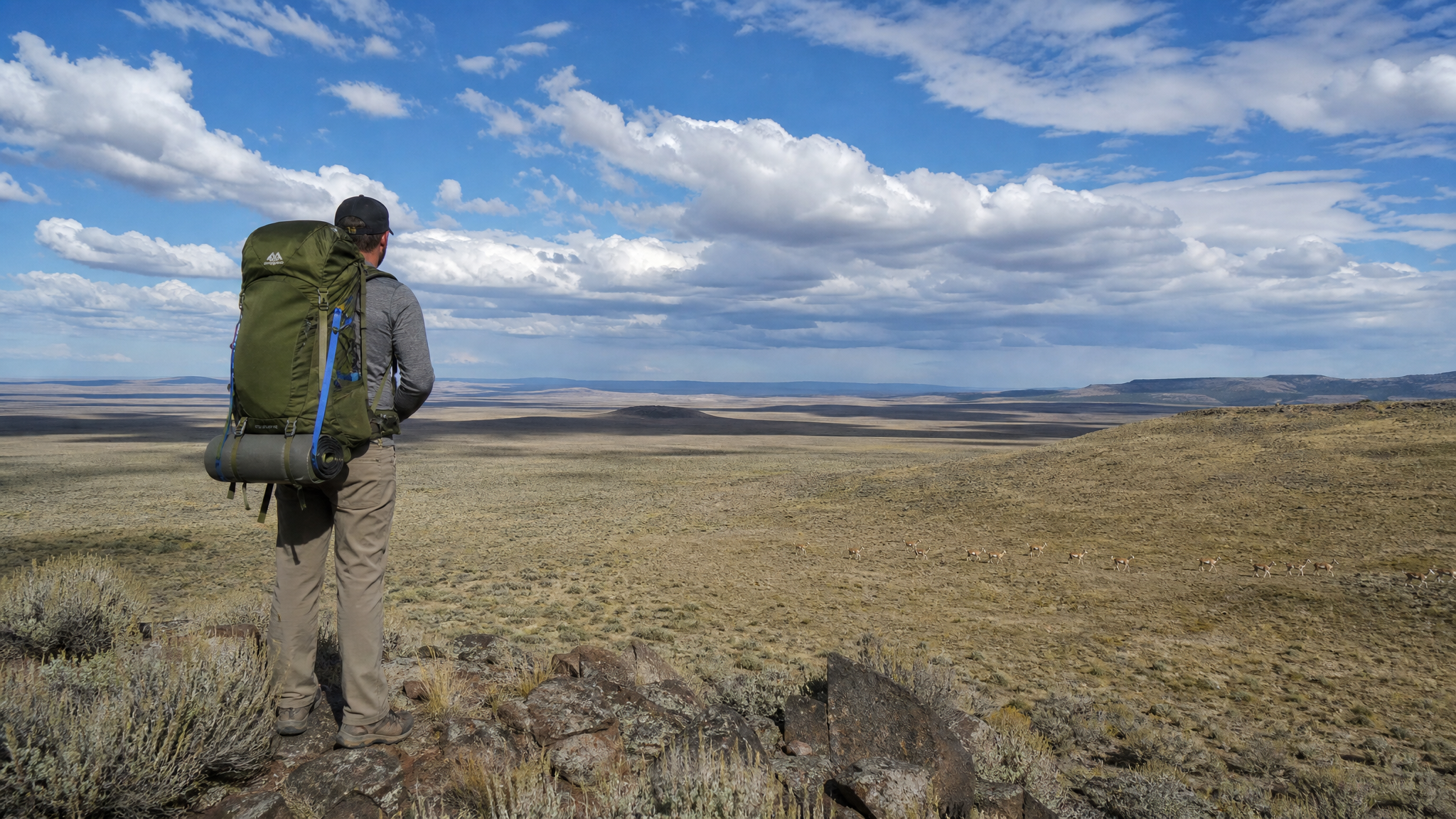
Most Oregon backpackers head to the Cascades or the Wallowas. They camp in meadows near lakes, walk on well-maintained trails, and encounter other hikers regularly. That's fine — those are great places. But if you want something genuinely different, something that feels like the edge of the map, Hart Mountain National Antelope Refuge is waiting. This is high desert wilderness at its most raw: massive rimrock escarpments, sage-covered plateaus stretching to every horizon, hot springs in the middle of nowhere, and more pronghorn than you've seen in your life. And almost no other people.
Hart Mountain: The Basics
Hart Mountain is a fault-block mountain — a massive uplifted plateau that rises abruptly from the Warner Valley floor in Lake County, southeastern Oregon. The summit plateau sits at 8,065 feet (Warner Peak), with the western escarpment dropping nearly 3,600 vertical feet to the valley below. The refuge covers 278,000 acres of sagebrush steppe, juniper woodland, seasonal wetlands, and high alpine grassland. It is managed by the US Fish and Wildlife Service primarily for pronghorn antelope, bighorn sheep, and sage grouse habitat.
There are no formal maintained hiking trails in most of the refuge. You navigate by map, compass, and GPS across open terrain. This is not a trip for first-time backcountry hikers, but it is not technical mountaineering either — it is long-distance desert travel that demands self-sufficiency and solid navigation skills.
Getting There
Hart Mountain is genuinely remote. From Burns (the nearest significant town), it is 2.5 hours of driving, much of it on graded gravel roads. From Portland, budget 6-7 hours. The main access route runs through Frenchglen on Highway 205, then east on the Refuge Road to the Hart Mountain Refuge HQ.
High-clearance recommended: The roads are generally passable for careful two-wheel-drive vehicles in dry conditions, but a truck or SUV is far preferable. After any rainfall, the Warner Valley roads can become impassable clay. Check conditions with the refuge before departure: (541) 947-3315.
Bring extra fuel. There is no gas station within 50 miles of the refuge. Burns, Lakeview, or Frenchglen are your fill-up points.
A 3-Day Backpacking Loop
Day 1: Refuge HQ to Poker Jim Ridge (8-10 miles)
Start at the Hart Mountain Refuge Headquarters (elevation 5,960 ft) and head south on the two-track toward Poker Jim Ridge. This is big, open country — no shade, minimal topographic shelter, and consistently strong afternoon wind. Start early. The terrain climbs gradually through bitterbrush and big sagebrush, with pronghorn visible at almost any distance. Poker Jim Ridge offers dramatic views west into the Warner Valley and east across the high plateau. Camp on the ridge in a sheltered draw if you can find one; the wind on exposed ground can be relentless even in August. Water source: bring enough from the HQ or cache at one of the seasonal springs marked on USGS topo maps — verify spring status before departure as they can dry by late summer.
Day 2: Poker Jim Ridge to Hot Springs Camp (7-9 miles)
The second day takes you across the plateau toward Hart Mountain's most famous feature: the Hot Springs. This is cross-country travel across open ground — follow your GPS track and stay oriented with Warner Peak to the north. The terrain is rolling sagebrush steppe with occasional rimrock outcroppings. Watch for bighorn sheep on the rim faces. Arrive at the Hot Springs campground area by early afternoon if possible. The developed hot springs pool (clothing-optional, no reservations needed) is genuinely one of the best trail rewards anywhere in the Pacific Northwest — 102 degree mineral water in the middle of nowhere. Camp nearby in the designated area. This is the most-visited camp on the refuge, so you may actually encounter a few other people here.
Day 3: Hot Springs to Warner Peak and Back to HQ (10-12 miles)
The final day earns its miles with the summit of Warner Peak (8,065 ft), the highest point on Hart Mountain. The climb from the hot springs is a sustained slog up the escarpment on game trails and open slopes — steep enough to earn the views but not technical. From the summit, on a clear day, you can see Steens Mountain to the north, the Warner Valley floor thousands of feet below to the west, and the high desert of northern Nevada to the south. Descend along the ridge back toward the HQ, completing the loop through open ground.
Water Strategy
Water is the critical planning factor on Hart Mountain in summer. Springs marked on older USGS maps may be dry by August. Before your trip, contact the refuge (541-947-3315) for current spring status. Carry capacity for 4-5 liters minimum and know where your next source is at all times. A reliable filter (Sawyer Squeeze or similar) is mandatory — wildlife use every water source, and giardia risk is real.
Wildlife You Will See
- Pronghorn antelope: You will see dozens, possibly hundreds. They are everywhere on the plateau. One of the best places in North America to observe them at close range.
- California bighorn sheep: Reintroduced to the refuge in 1954, the Hart Mountain herd is one of Oregon's most successful. Look for them on the western escarpment and rim faces.
- Greater sage grouse: August is a good time to see birds in the plateau sagebrush. Early morning is best.
- Mule deer: Common on the plateau edges and in the juniper-rimrock transitions.
- Rattlesnakes: Great Basin rattlesnakes are present below 6,500 feet. Watch where you step, especially near rock outcroppings in the first and last miles of the trip.
Leave No Trace on the Refuge
Hart Mountain is managed primarily for wildlife, not recreation. Camp on durable surfaces (rock, sand, or well-established pads — never in sagebrush). Pack out everything including gray water from cooking. Open fires are prohibited in most of the refuge. Dispersed camping requires staying at least 200 feet from any water source. The refuge asks that you register your trip at the HQ before heading out.
When to Go
Late May through early June or mid-August through September are the sweet spots. Summer heat on the lower plateau is brutal in July — temperatures reach 100 degrees Fahrenheit and rattlesnakes are most active. The hot springs are at their best when the air temperature is cool enough to enjoy a long soak. Avoid the refuge entirely in wet conditions — the roads are dangerously slick and the sagebrush steppe is fragile when saturated.
Hart Mountain asks something of you: the willingness to drive a long way on dirt roads, navigate without trail markers, and sit with discomfort for three days. What it gives back — genuine solitude, a landscape unchanged for centuries, and the peculiar satisfaction of being somewhere almost no one else has been — is worth every mile of the drive.