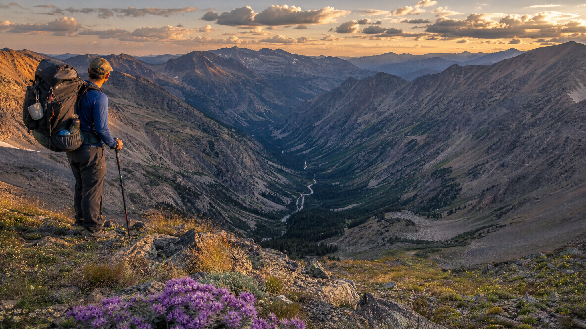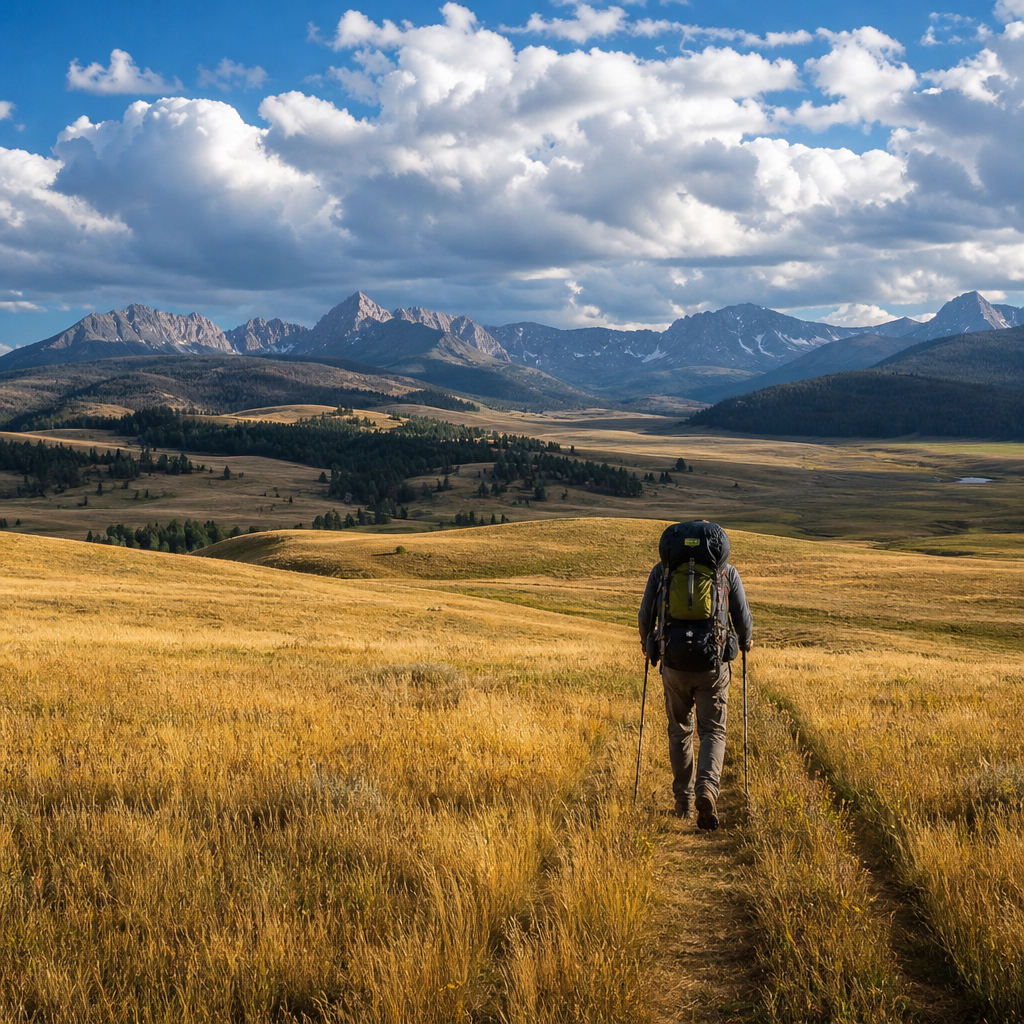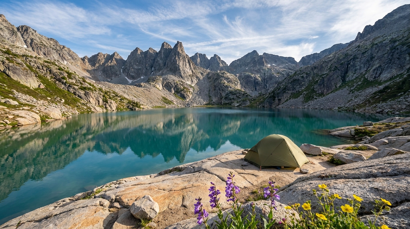
The Eagle Cap Wilderness is Oregon's largest wilderness area, and by most measures its most spectacular. The Wallowa Mountains rise abruptly from the high desert of northeastern Oregon to form a granite-and-glacial-ice island of country that has more in common with the Swiss Alps than the Pacific Northwest's typical volcanic terrain. Within this wilderness, Ice Lake is a destination that earns its reputation — a cirque lake at 7,900 feet ringed by 9,000-foot granite walls, home to healthy populations of mountain goats, and accessible enough for a committed weekend trip but remote enough to feel genuinely wild.
July is the beginning of the prime season here. Snow lingers into late June at lake elevation, and the approach trail can hold significant snowpack through early July in heavy years. By mid-July the trail is typically clear, the wildflowers are exploding across the boulder fields above treeline, and the lake is just warming enough for brief, punishing swims you'll brag about for years.
The Route: Two Options
Option 1: West Fork Wallowa River Trail (Most Direct)
The most straightforward approach follows the West Fork Wallowa River Trail (#1820) south from the Wallowa Lake Trailhead. The trail gains elevation gradually along the river through old-growth fir and spruce for the first 3 miles, passes the junction with the East Fork trail, and begins climbing more aggressively after the Six Mile Meadow area. From Six Mile Meadow, the trail climbs switchbacks through open alpine terrain to reach Ice Lake at approximately 8 miles one-way, with total elevation gain of around 3,000 feet.
This is the most direct route and the best choice for a straightforward out-and-back trip. Most hikers camp at Ice Lake or in the area just below it (camping is prohibited within 200 feet of the lake's outlet).
Option 2: Loop via Moccasin Lake
A more ambitious option loops from Ice Lake over Glacier Pass (roughly 9,200 feet) and drops into the Glacier Lake basin before returning via the East Fork Wallowa River trail. This adds mileage and significant elevation change but rewards with extraordinary alpine terrain. Total loop distance is approximately 18–22 miles depending on side trips, and requires two full days minimum at a reasonable pace.
Trailhead and Permits
The Wallowa Lake Trailhead is located at the end of the road at Wallowa Lake State Park, outside Joseph, Oregon. A self-issue wilderness permit is required for overnight travel in the Eagle Cap Wilderness — available at the trailhead register. The parking area requires a Northwest Forest Pass ($5/day or $30/year).
Camping at Ice Lake is managed under Leave No Trace guidelines. Camping is not permitted within 200 feet of the lake or its outlet stream. Fires are prohibited above 5,000 feet in the Eagle Cap Wilderness — bring a stove. Bear canisters are not required but strongly recommended.
What to Expect at Ice Lake
The lake sits in a granite cirque below the flanks of Matterhorn Peak (9,826 feet) and Sacajawea Peak (9,838 feet — the highest point in the Wallowas). The setting is genuinely dramatic — granite walls rise 2,000 feet above the water, and the lake surface reflects the peaks on calm mornings with surreal clarity.
Mountain goats are a near-certainty. A resident population inhabits the cliff bands around the lake and is frequently spotted from camp. Give them space. The fishing at Ice Lake is limited — it holds some brook trout, but it's not a fishing destination. The focus here is the scenery, the camping, and the alpine exploration.
Gear for This Trip
- Sleeping bag: 20°F or lower. Even in July, nights below 30°F are not unusual at lake elevation.
- Rain gear: Non-negotiable. Afternoon storms build fast over the Wallowas and can produce lightning, hail, and heavy rain with little warning. Be off exposed ridgelines by noon if weather is building.
- Footwear: Waterproof trail runners or light hiking boots. The rocky terrain above treeline benefits from ankle support, and early-season snow crossings require footwear that handles wet conditions.
- Navigation: OnX Backcountry or Gaia GPS with the Eagle Cap Wilderness topo downloaded offline. Trail junctions above treeline are not always obvious in snow or poor visibility.
- Water treatment: The West Fork Wallowa River and tributaries provide abundant water. A Sawyer Squeeze or SteriPen covers your needs.
Best Campsites
Sites in the boulder fields just below the lake, on the east side of the outlet drainage, offer the best combination of wind protection and views. The north shore of the lake has several flat granite ledges that work in calm conditions but are exposed to weather from the pass. If you're staying two nights, set camp on arrival and spend the second day exploring the pass to Glacier Lake or scrambling toward Sacajawea Peak's lower flanks.
Getting There
From Portland: I-84 east to La Grande, then Hwy 82 east through Enterprise and Joseph to Wallowa Lake — approximately 5.5 hours. From Bend: Hwy 20 east through Burns, then north on Hwy 395 and east on Hwy 82 — approximately 5 hours. Joseph has full services including fuel, groceries, and the outstanding Terminal Gravity Brewing for post-trip recovery.
The Wallowas get called Oregon's Alps, and Ice Lake is why. Make the drive, earn the miles, and give yourself at least two nights to take it in properly.