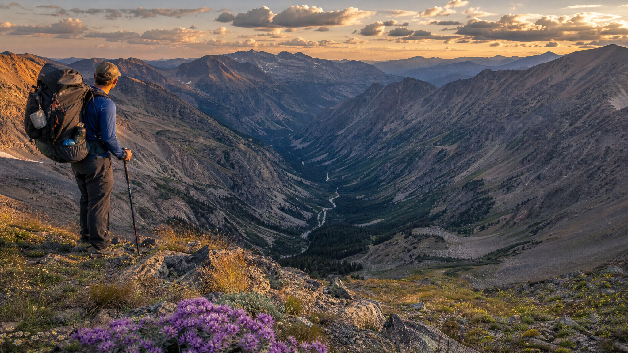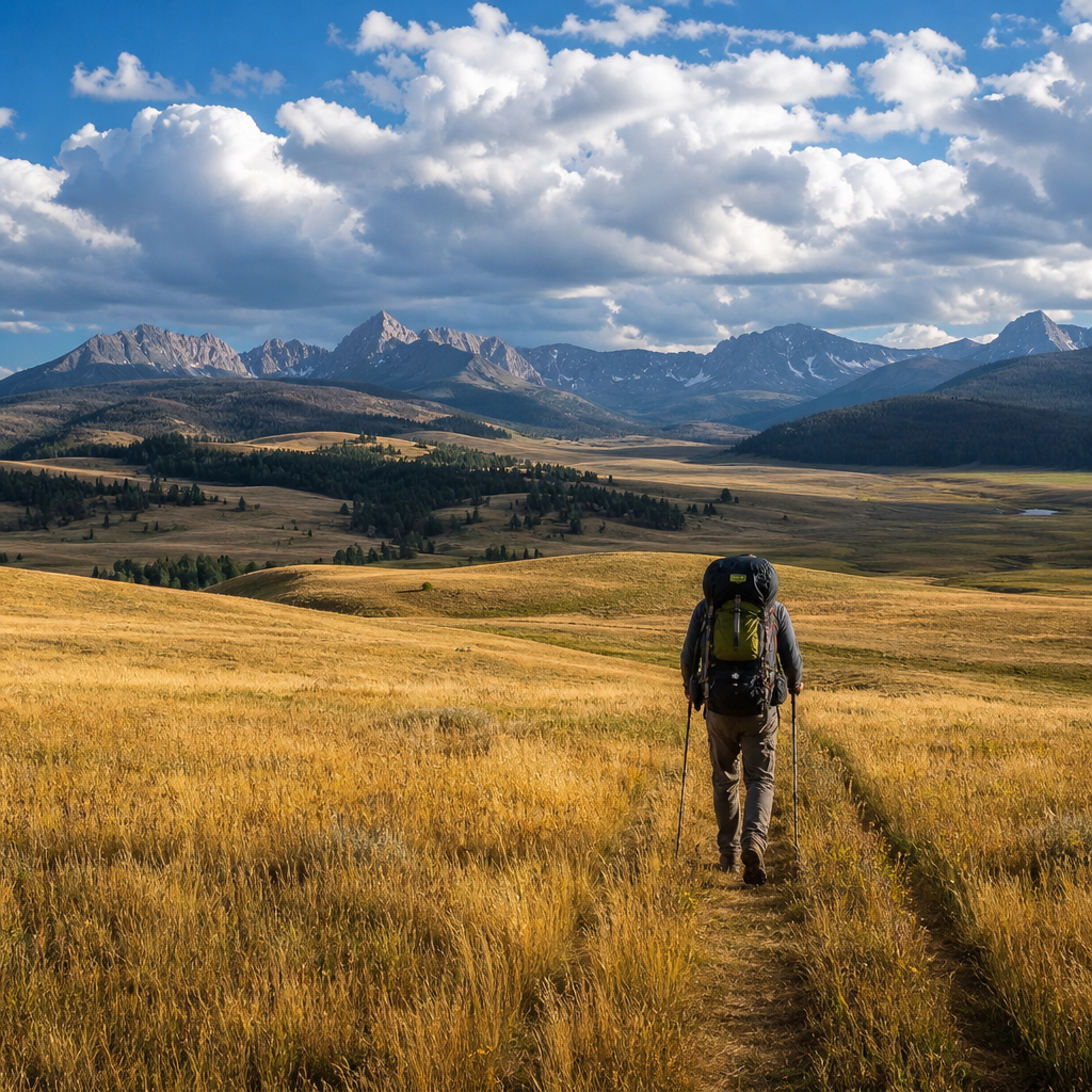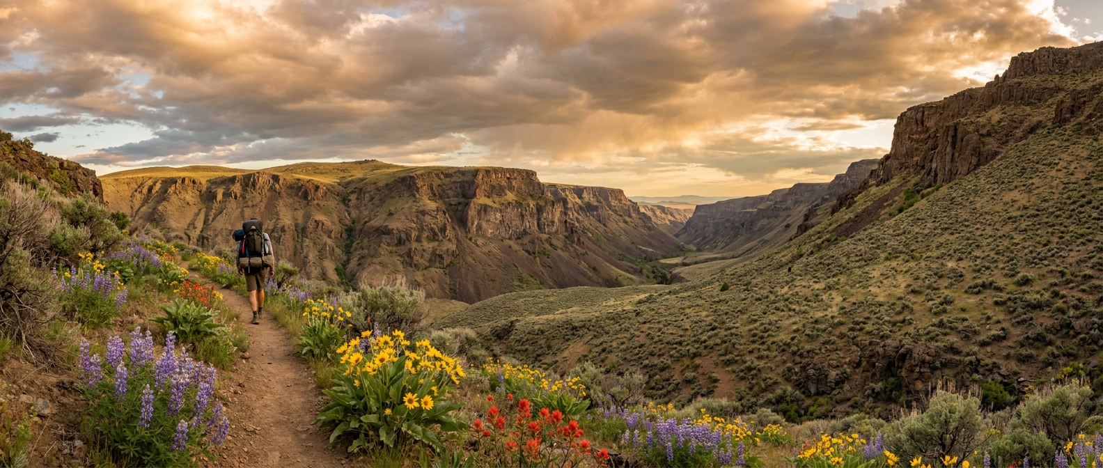
There are gorges in Oregon, and then there is Kiger Gorge. Carved by Pleistocene glaciers into the eastern flank of Steens Mountain, Kiger is a textbook U-shaped glacial valley—steep-walled, flat-floored, and so massive it takes your brain a moment to process the scale when you first look across it from the rim. The gorge drops nearly 3,000 vertical feet from the summit plateau to the desert floor below, and the Kiger Mustangs—one of the most genetically pure wild horse herds in the United States—roam the sagebrush benches at its base.
Most visitors see Kiger from the overlook pullout on the Steens Mountain Loop Road and call it done. The backpackers who descend into it find one of southeastern Oregon's most remote and rewarding overnight experiences.
Location and Access
Steens Mountain is located in Harney County, approximately 60 miles south of Burns, Oregon. The Steens Mountain Loop Road (typically open July through October, depending on snowpack and conditions) provides the primary vehicle access. Kiger Gorge Overlook is at roughly mile 21 of the loop road from the Frenchglen entrance.
The area is managed by the BLM Burns District. There are no permits required for overnight camping in the Kiger Gorge area as of the 2026 season, though regulations can change—verify with the BLM Burns District Office (541-573-4400) before your trip. Dogs are permitted on a leash.
The nearest services are in Frenchglen (Frenchglen Hotel, limited fuel seasonally) and Burns. Frenchglen is 60 miles south of Burns on ORE-205. Fill up and water before you arrive—there are no services in the remote interior.
The Route: Kiger Gorge Descent and Canyon Floor
There is no maintained trail into the gorge, which is part of the appeal and part of the challenge. The route from the Kiger Gorge Overlook requires a cross-country descent of the gorge's headwall—technical in places, always demanding. Here's how most experienced parties approach it:
- Trailhead: Kiger Gorge Overlook, elevation approximately 9,400 feet
- Descent route: Work south along the rim from the overlook to identify the most gradual headwall break—typically a rocky shoulder on the west side of the gorge head. Drop steeply on loose talus and scree for 800–1,200 vertical feet until you reach the grass and sagebrush benches.
- Canyon floor travel: Once on the floor, travel is straightforward along Kiger Creek. The creek runs year-round in most years through the main gorge body and provides reliable water with filtration.
- Campsites: The benches and flat areas along Kiger Creek offer good camping. Camp 200 feet from water per Leave No Trace standards. Fire rings exist in some areas; check current fire restrictions (this is critical during fire season—Steens Mountain is often under fire restrictions from late July onward).
Total descent from overlook to comfortable camp on the gorge floor: 3–4 miles with 1,800–2,200 feet of elevation loss depending on your exact line. Plan on 3–4 hours for the descent with a full pack on unfamiliar terrain.
What You'll Find in the Gorge
Kiger Gorge delivers an experience unlike anywhere else in Oregon. The canyon walls rise in columns of ancient basalt, glacially polished on the interior faces. Kiger Creek braids through a floor covered in native bunchgrasses, wild penstemon, and patches of aspen—brilliant gold in September and October. Raptors hunt the thermals above the rim: red-tailed hawks, prairie falcons, and on lucky days, golden eagles.
The Kiger Mustangs are the iconic draw. These horses descend from Spanish colonial stock and have been genetically isolated in the Kiger Herd Management Area long enough to display remarkable phenotypic consistency—dun coats, dorsal stripes, and primitive zebra-bar leg markings. Seeing a band of Kiger mustangs working across the canyon floor below your campsite is one of those genuinely wild moments that resets your perspective on why you do this.
Pronghorn also range through the lower gorge benches, and mule deer are common in the riparian zone along the creek. Bring binoculars. This is one of Oregon's premier wildlife watching destinations.
Water and Resupply
Kiger Creek is the primary water source throughout the canyon. It runs dependably from snowmelt through mid-summer and from monsoon moisture in July and August. By September in dry years, flow may be reduced in the upper gorge—test the upper section before committing to a route that depends on it. Always filter or treat all backcountry water on Steens Mountain, even from clear-looking sources. Pack at least 2 liters of carry capacity per person.
The upper rim has no reliable surface water in summer once the snowpack is gone. Carry water from the Kiger Creek campsite if you plan to exit back up the headwall on day two.
Difficulty and Skills Required
This is not a beginner's overnight. Key skills and fitness requirements:
- Navigation: No maintained trail. Topographic map reading and GPS competency required. Download offline maps (OnX, CalTopo) before you lose cell service, which happens well outside Frenchglen.
- Scrambling ability: The headwall descent involves Class 2–3 scrambling on loose rock. Trekking poles are recommended. Don't attempt in wet conditions—volcanic talus becomes very slippery.
- Altitude: The rim at 9,400 feet is moderate altitude. If you're coming from sea level, allow a day to acclimate in Burns or Frenchglen before attempting the descent.
- Self-sufficiency: Steens Mountain is genuinely remote. Cell service is nonexistent in the gorge. Carry a PLB or satellite communicator. Let someone know your plan and return date.
Timing Your Trip
The ideal window for Kiger Gorge backpacking is mid-August through September. By mid-August, the snowpack is typically clear from the rim and upper gorge, wildflowers are at their peak on the canyon floor, and temperatures are tolerable (highs in the 60s–70s F on the rim, warmer in the canyon). September adds fall color to the aspen groves and peak mustang viewing as the horses move to lower elevations.
Avoid late October and beyond—early season snow can close the Loop Road and make the headwall descent hazardous. Spring access is often impossible until late June due to lingering snowpack and road closures.
Leave No Trace on Steens Mountain
The Kiger Mustang population is sensitive to human disturbance. Do not approach horses on foot—observe from distance and move slowly and quietly. The mustangs are wild animals and can behave unpredictably if crowded. Do not camp in or near active mustang water sources. Pack out all waste including human waste if a groover or WAG bag is practical on your trip; catholes are the minimum standard. The gorge sees relatively light use and should stay that way.
The Bottom Line
Kiger Gorge is the kind of place that doesn't look real when you're standing in it. The scale, the silence, the mustangs drifting across the sage in the morning light—it's the sort of experience that makes the drive to Frenchglen and the scramble down the headwall feel completely beside the point. Put this one in your Oregon backpacking rotation. You won't forget it.