Most Oregon backpackers have a list that looks roughly the same: Eagle Cap, the Three Sisters, Crater Lake, the Wallowas. Monument Rock Wilderness never makes that list. It's too far from Portland, too hard to find on a casual internet search, and too difficult to reach without a high-clearance vehicle and willingness to navigate Forest Service roads that don't always match what's on the map. All of which makes it one of the most rewarding backpacking destinations in northeastern Oregon.
Monument Rock Wilderness covers 19,650 acres in the Malheur National Forest, straddling the Strawberry Mountain-Bear Valley divide in the southern Blue Mountains. It's a place of open ridge systems, high granite formations, ponderosa parkland, and the kind of silence that's genuinely hard to find in a state with as many outdoor enthusiasts per capita as Oregon.
When to Go
The Monument Rock Wilderness is snow-free and accessible from late June through October in most years. July and August are the prime months — the high ridges are dry, the creeks are still running with snowmelt, and afternoon thunderstorms are the main weather concern rather than deep snow or ice. Expect warm-to-hot days (75-85°F at elevation) and cool nights that can drop into the upper 30s even in late July.
The wilderness sits at elevations ranging from roughly 4,800 feet in the valleys to 7,748 feet at Monument Rock itself. July temperatures are manageable, but the exposed ridge systems offer no shade from afternoon lightning — plan to be off exposed terrain by 1:00 PM if thunderstorm activity is building.
Access and Trailheads
The primary access route runs through the small community of Long Creek on Highway 395, then east on Forest Road 16 (Table Mountain Road) toward the wilderness boundary. A high-clearance 2WD vehicle can make the main access road; 4WD helps on secondary spur roads. The roads are not maintained to any significant standard — expect rough gravel, washboards, and the occasional downed tree in early season.
Monument Rock Trailhead: The most popular entry point, accessed via FR 1648. Provides direct access to the ridgeline route and the signature granite formation at Monument Rock. Space for 8-10 vehicles. No fee, no permit required as of the 2026 season.
Big Creek Trailhead: Lower elevation entry on the east side of the wilderness, providing access to the creek-corridor routes that hold water throughout summer. Easier terrain than the ridgeline approach, suitable for families with children.
A 2-Day Loop: Monument Rock Ridge to Big Creek Basin
This moderate 14-mile loop covers the best terrain in the wilderness and is achievable in two days by fit hikers, or three days for a more relaxed pace with time to fish.
Day 1: Monument Rock Trailhead to Big Creek Basin (6.5 miles)
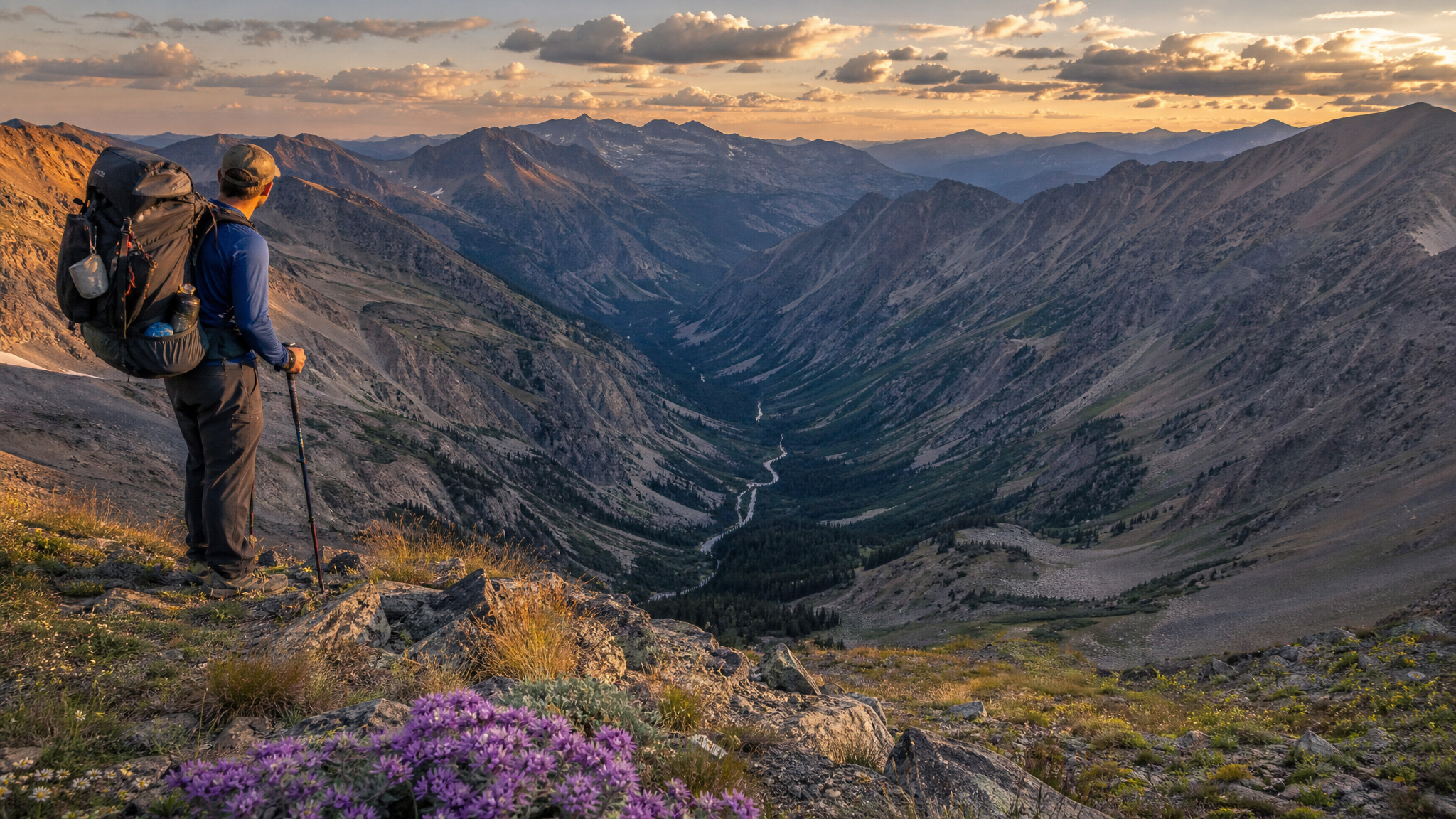
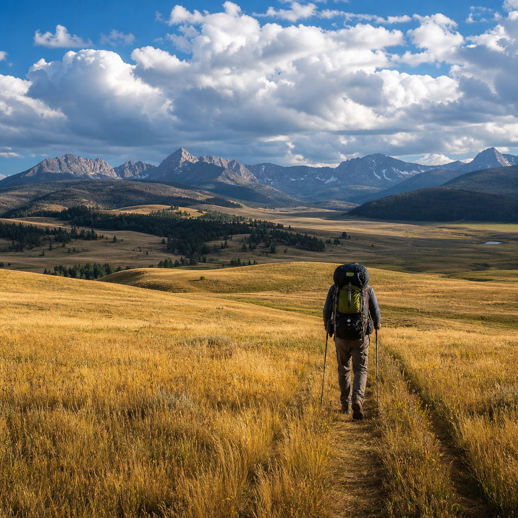
From the trailhead, the trail climbs through open ponderosa pine and bitterbrush to the main ridgeline in approximately 2 miles. The ridgeline is exposed and provides sweeping views north toward the John Day country and south toward Strawberry Mountain. On clear mornings, you can see the Cascades — Three Sisters, Broken Top, even Mount Jefferson — from the high points along this ridge.
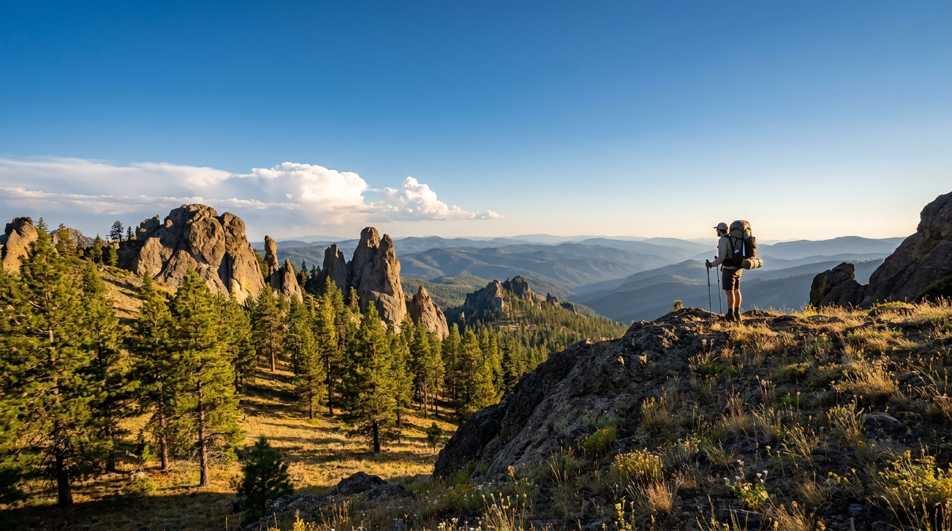
Monument Rock itself is a distinctive granite formation visible from miles around. A short scramble to the top rewards with 360-degree panorama and, in a good year, nesting prairie falcon pairs on the vertical faces. The falcons are present from April through August — watch your approach and give the nest face a wide berth if birds are active.
From Monument Rock, the trail descends northeast through mountain mahogany and scattered aspen groves into the Big Creek drainage. Camp anywhere in the basin that provides 200 feet of setback from the creek and good bear-country food storage. Hanging food is standard practice here — black bears are present throughout the wilderness and have learned that ponderosa flats mean campers.
Day 2: Big Creek Basin Loop Completion (7.5 miles)
Follow Big Creek upstream to its headwaters in a series of small meadows, then climb the western ridge back toward the Monument Rock trailhead via the loop connector trail. The western descent crosses a burn zone from a 2015 lightning fire — the snag field is eerie, and the wildflower density in the burned areas is spectacular in July. Paintbrush, balsamroot, larkspur, and Columbia monkshood compete for space in the openings.
Total elevation gain for the loop: approximately 1,800 feet. Nothing brutal, but consistent enough that fit trail legs are an asset.
Wildlife
Monument Rock Wilderness holds a resident elk herd — summer range for a population that migrates to lower country for winter. Seeing small bachelor groups of bulls in velvet in the morning meadows is common in July. Mule deer are everywhere. Pronghorn occasionally venture into the western reaches from the adjacent high desert.
The creek systems in the wilderness hold native redband rainbow trout — small, spooky, and remarkably wild. A 3-weight fly rod with a handful of elk hair caddis and PMD patterns in sizes 14-16 will produce memorable creek-side fishing for 6-10 inch fish in gin-clear water. Catch and release is the ethical standard in wilderness waters; these redband populations are not supplemented by stocking.
Raptors are a highlight: red-tailed hawk, ferruginous hawk, golden eagle, and the prairie falcon colony at Monument Rock itself. Northern harriers work the meadow edges. Great horned owls hunt the ponderosa forest at night.
Navigation and Maps
Cell service is completely absent throughout the Monument Rock Wilderness and for several miles in every direction. Download offline maps via OnX Backcountry or Gaia GPS before leaving cell coverage in John Day or Prairie City. The USGS 7.5-minute quad series covers this area, and the Malheur National Forest motor vehicle use map shows current road conditions and closure areas.
Carry a compass and know how to use it. The ridge systems can become disorienting in early morning fog or afternoon thunderstorm conditions.
What to Pack
- Water: Big Creek and its tributaries provide reliable water through late July; carry a filter. By mid-August, some upper tributaries dry up — plan water carries of up to 4 miles in late season.
- Sun protection: The ridgelines are completely exposed. At Blue Mountain elevations, UV intensity catches many hikers off guard. Sunscreen, a hat, and sun-protection clothing are not optional.
- Lightning plan: Know your descent route from exposed ridges before noon. The Monument Rock ridge offers no shelter during a mountain thunderstorm.
- Bear canister or hang kit: Black bears in this wilderness are active. No-trace food storage is both ethical and practical.
Monument Rock Wilderness won't give you the Instagram moment of the Eagle Cap or the bragging rights of a Crater Lake rim camp. What it gives you instead is genuine solitude, elk bugling in the evening meadows, wild trout in clear Blue Mountain creeks, and the satisfaction of finding a corner of Oregon that most people drive past without knowing it exists.
That, in the end, is worth more than any trail count.