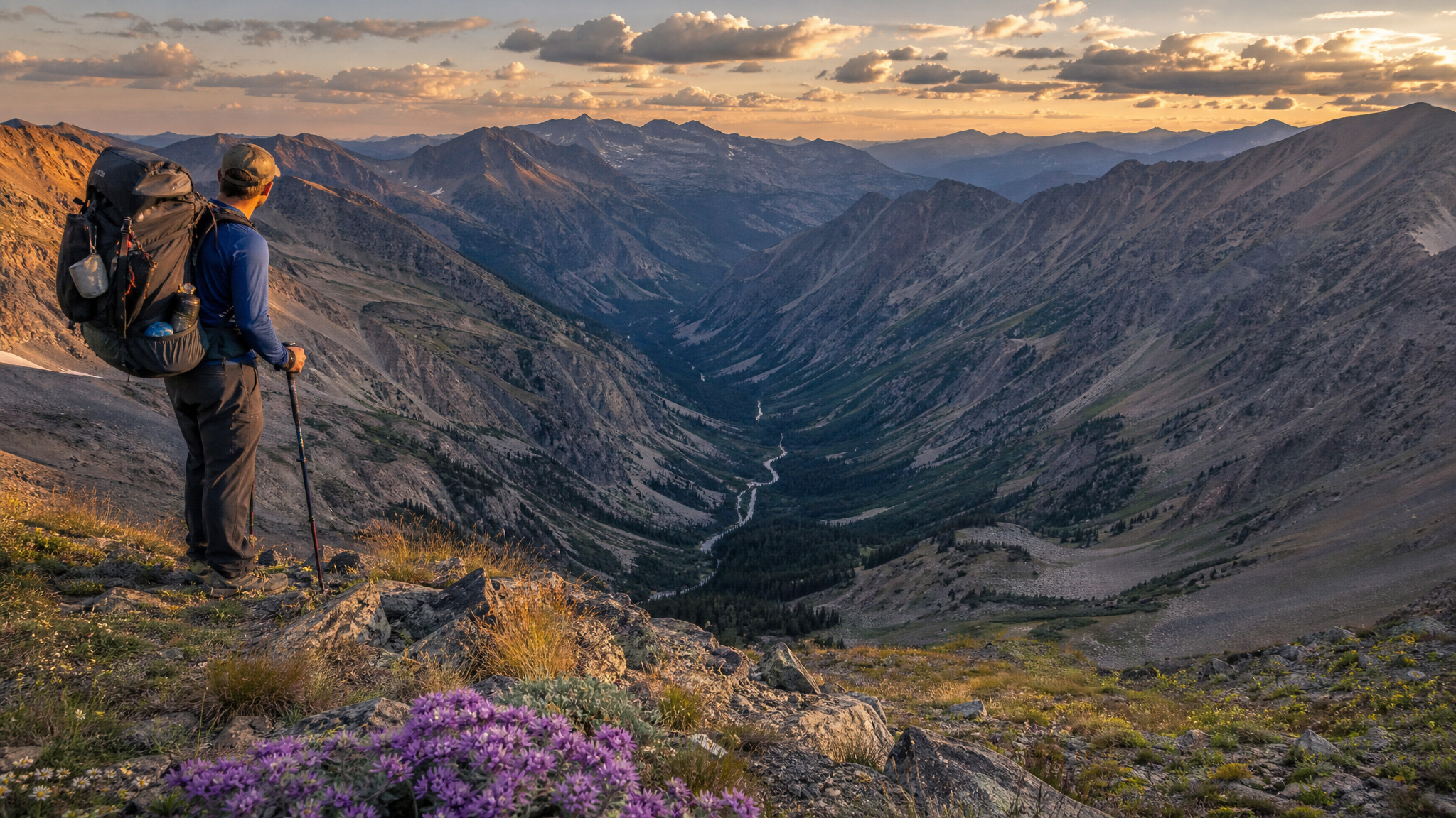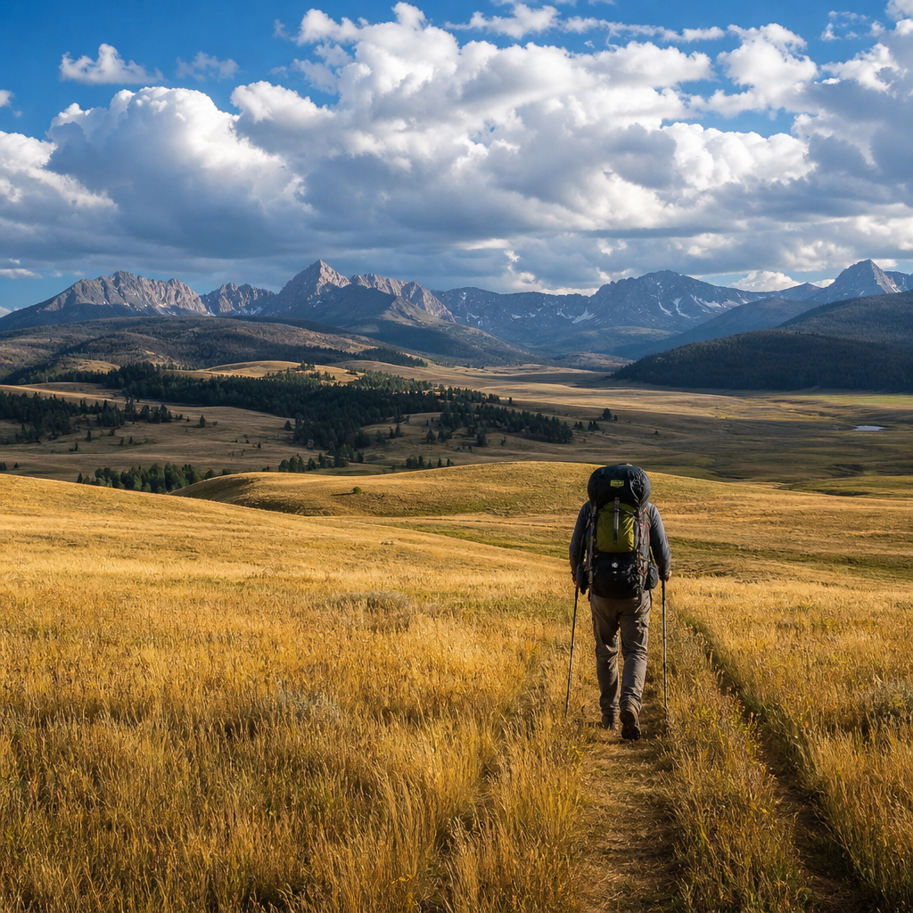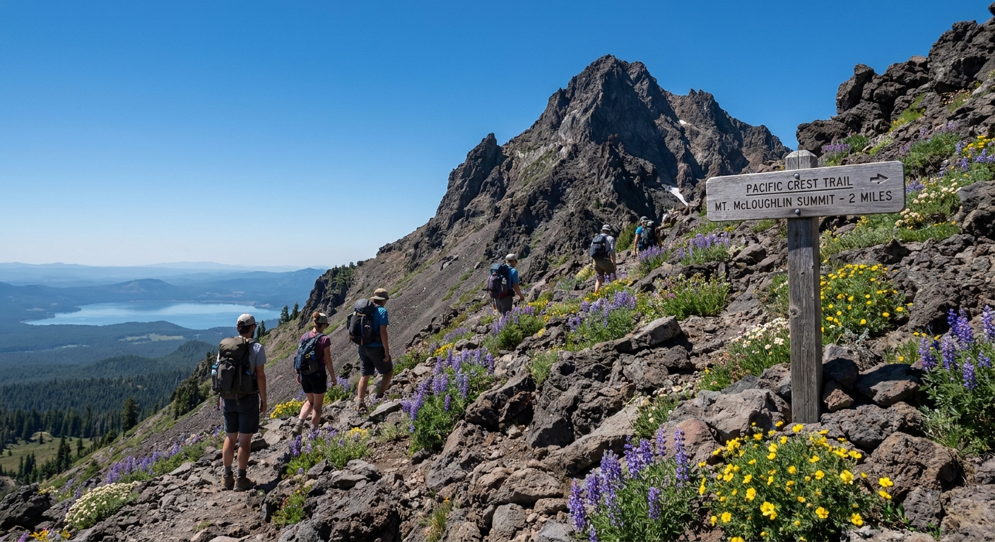
Mount McLoughlin rises 9,495 feet above the forested plateau of southern Oregon, visible from Ashland to Klamath Falls on a clear day and yet somehow perpetually underrated on Oregon’s peak-bagging circuit. While hikers stack up on South Sister and crowd the Hood timberline, McLoughlin sits in the Fremont-Winema and Rogue River-Siskiyou National Forests largely unbothered. The summit trail is 10 miles round trip with 3,800 feet of gain. It’s a real climb — steep, rocky, and thin-aired near the top — but it delivers views stretching from the Diamond Lake basin to Mount Shasta in California and down into the Klamath Lake basin far below. Pair it with an overnight on the Pacific Crest Trail at the base and you have one of the best two-day summer adventures in southern Oregon.
Getting There
The Mount McLoughlin Trailhead is located 25 miles north of Ashland and approximately 55 miles northwest of Klamath Falls. From Medford or Ashland, take Highway 62 east toward Crater Lake, then turn north on Highway 140 toward Lake of the Woods. The signed trailhead turnoff is on the north side of Highway 140 at Forest Road 3650, approximately 3 miles east of the Lake of the Woods Resort. The trailhead has vault toilets, a small parking area, and a register box. No fee is currently required at the trailhead itself, though a Northwest Forest Pass may be required for nearby Cascades Lakes Scenic Byway access. Arrive early — by 7 AM on summer weekends — or parking overflows to the highway shoulder.
Trail Route: Summit via McLoughlin Trail #3716
The route is straightforward and well-marked. Most hikers complete the summit as a day trip, but the terrain and camping opportunities make an overnight the superior experience.
Miles 0–3.5: Forested Lower Slopes
The trail begins in dense lodgepole and white fir forest, gaining elevation steadily at a moderate grade. The lower 2 miles are pleasant and shaded, with little undergrowth. At approximately mile 1.8, the trail intersects the Pacific Crest Trail. This junction is important for overnight campers: the PCT corridor north and south of this junction offers flat, established camp spots at the 5,800-foot level with reliable water access from a small seasonal creek to the north (dry by August most years — carry water from the trailhead). McLoughlin Trail branches right from the PCT and continues north toward the summit.
Miles 3.5–4.5: Treeline and Talus
Above 7,500 feet, the forest thins and the character of the climb changes. Vegetation gives way to open mountain hemlock krummholz and then to exposed volcanic rock. The trail traverses the south ridge and becomes increasingly rocky. Cairns mark the route through boulder fields. This section requires hands-on-rock scrambling in a few spots — nothing technical, but trekking poles are useful for the descent when fatigue sets in and loose talus is slippery.
Miles 4.5–5.0: Summit Ridge to High Point
The final half mile follows the south ridge to the summit crater rim and then the high point at 9,495 feet. Views open up dramatically in the last 500 vertical feet. On a clear day you can see Mount Shasta (14,179 feet) to the south in California, the Crater Lake rim to the northwest, Mount Thielsen’s spire to the north, and the vast blue expanse of Upper Klamath Lake to the east. Wind is almost always present near the summit; bring a windshell even on warm summer days.
Overnight Strategy: PCT Base Camp
If you want to turn this into a two-day trip, camp at the PCT junction at roughly mile 1.8. This flat area has space for four to six tents among the trees and puts you 3.5 miles from the summit for an alpine start. Leave camp by 6 AM to summit before afternoon thunderstorms build — a real risk at this elevation in July and August. McLoughlin’s bare upper slopes offer zero shelter during electrical storms, and afternoon convective activity is common in the Klamath region through August.
- Water: A seasonal stream crosses the PCT approximately 0.3 miles north of the junction and holds water into mid-July most years. By August, carry all water from the trailhead. A 3-liter capacity is adequate for one night’s camp plus summit day if you’re efficient.
- Permits: No overnight permit is currently required for PCT corridor camping in this zone. Self-registration at the trailhead is standard. Check the Rogue River-Siskiyou National Forest website for any fire restrictions before your trip — this region has seasonal burn bans that prohibit campfires above 4,000 feet during dry periods.
- Leave No Trace: The PCT camp area shows heavy use. Pack out all waste, use existing fire rings only where fires are permitted, and camp on durable surfaces (bare soil or established pads) rather than vegetation.
Gear Considerations for August
August is the ideal window for this climb: snow-free summit, long daylight hours, and warm temperatures at treeline. But the summit environment is still demanding:
- Footwear: Trail runners work fine to treeline, but stiff-soled approach shoes or light hiking boots are better on the upper talus. The loose volcanic rock is rough on soft soles and ankles.
- Clothing layers: Start warm at 6 AM from camp. Expect to shed layers by 8 AM and add them back near the summit. A puffy and a hard-shell rain layer weigh almost nothing and matter a lot if weather moves in.
- Trekking poles: Mandatory for most people on the descent. The loose talus punishes knees and ankles without them.
- Sunscreen and glasses: Exposure above treeline is intense, especially off the light-colored volcanic rock. Bring more sunscreen than you think you need.
- Lightning awareness: Watch the sky constantly above mile 3.5. If you hear thunder or see dark buildups to the west, turn around and descend immediately. Do not shelter near the summit crater in a storm.
Beyond the Summit: Lake of the Woods and Local Fishing
The Lake of the Woods Resort is 3 miles from the trailhead and a natural post-climb stop. The lake holds good rainbow trout and kokanee salmon, and the resort rents boats by the hour. A post-climb afternoon float with a rod in the water is about as civilized as southern Oregon outdoor recreation gets. The town of Ashland, 25 miles south, has outstanding dining for a post-trip meal, and Medford offers full resupply options if you’re extending the trip into the Sky Lakes Wilderness to the north along the PCT.
Final Word
Mount McLoughlin is the kind of peak that rewards people who look past the obvious. It’s not Hood, it’s not the Sisters, and it’s not on most hiking influencers’ radar. It’s better for all of that. The climb is legitimate, the views reach into three states on a clear day, and the PCT corridor camping makes it a natural two-day adventure with morning light on the summit before the crowds think about leaving the parking lot. If you hunt or fish in southern Oregon’s Klamath country and you haven’t been on McLoughlin’s summit, add it to the list. You won’t regret the effort.