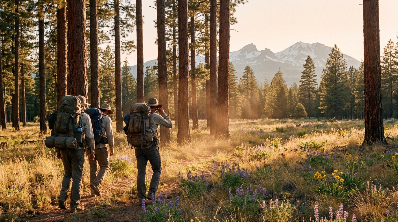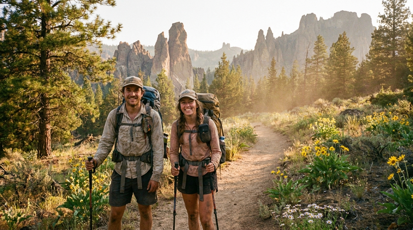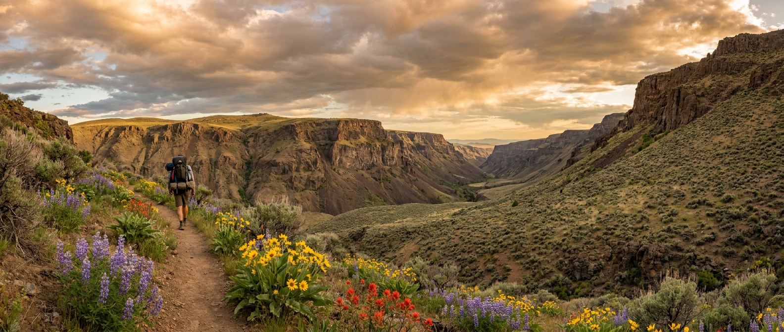
You could spend a decade exploring Oregon's designated wilderness areas and still not reach the North Fork Malheur Wilderness. That's not a criticism—it's an honest description of what makes this place special. The North Fork Malheur is 65,200 acres of canyon country in the Malheur National Forest, straddling Grant and Harney counties in eastern Oregon. It holds a wild river, native redband trout, dense ponderosa and lodgepole forests, and almost no one.
Mid-August is an excellent time to visit. The snow is long gone from the lower elevations, the river is running clear and accessible, and the crowds that never really existed here don't exist now either. Bring a fly rod and a willingness to navigate some rough trail. You'll be rewarded.
Where It Is and How to Get There
The North Fork Malheur Wilderness sits roughly 50 miles south of John Day, accessible from US-395 via Silvies Valley Road or from Highway 20 east of Burns via Malheur National Forest roads. The most commonly used trailhead for the river canyon is accessed via Forest Road 16 (FS-16), reachable from Seneca or the Silvies area.
A high-clearance vehicle is recommended for the final several miles of forest road. Download offline maps before leaving—cell service drops to nothing in the canyon and doesn't return until you're well back on pavement. Oregon's Off-Highway Vehicle (OHV) roads in this area can have seasonal closures, so check with the Malheur National Forest's Long Creek Ranger District before the trip.
The Trail System
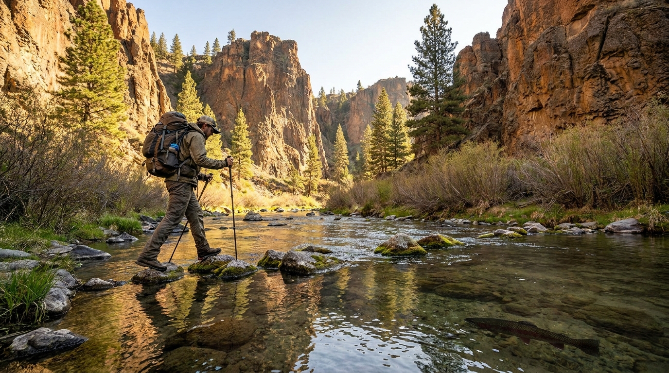
The primary route is the North Fork Malheur Trail (Trail #372), which follows the river upstream from the northern trailhead through alternating canyon meadows and tighter ponderosa pine sections. The trail crosses the river multiple times on log bridges—some of which are removed or washed out by late summer, making wet crossings likely. Trekking poles help here.
A solid 3-day itinerary looks like this:
- Day 1: Enter at the north trailhead and hike 7–8 miles upstream to a camp in one of the large canyon meadows near the river. Elevation gain is gradual along the river corridor, making this an accessible first day even with a full pack.
- Day 2: Day hike upstream into the upper canyon to fish headwater tributaries and explore the narrowing gorge. Or push further south if you've arranged a vehicle shuttle for a point-to-point route.
- Day 3: Return via the same route, or exit via a connecting trail to the high ridgeline for views across the surrounding high desert plateau before descending back to your trailhead.
The Fishing
The North Fork of the Malheur River holds native redband rainbow trout—a genetically distinct strain of rainbow adapted to the alkaline, high-desert river systems of eastern Oregon. These are wild, wary, and beautiful fish, with vivid red lateral bands and heavily spotted backs. They didn't get here by being easy to catch.
Regulations in the North Fork Malheur Wilderness section typically require artificial lures and flies only, with catch-and-release requirements for trout. Confirm current ODFW rules before the trip. Fish average 8–12 inches with occasional larger fish holding in the deeper pools of the lower canyon.
The most productive approaches are upstream dry fly presentations with elk hair caddis (size 14–16) and parachute adams in the same sizes, and small Woolly Buggers or rubber-leg nymphs stripped through the deeper slots. In the lower-gradient meadow sections, water clarity is high enough for sight fishing to visible fish—one of the quieter pleasures of this canyon.
Wildlife in the Canyon
The North Fork Malheur Wilderness supports healthy populations of mule deer and a resident elk herd that becomes more visible as summer fades into fall. Pronghorn are sometimes spotted on the rimrock edges above the canyon walls. Black bears are present but sightings on trail are uncommon. Raptors—red-tailed hawks, prairie falcons, and occasional golden eagles—work the thermals along the canyon rim consistently.
The canyon is also worth the visit for bird watching alone. Canyon wrens call from the basalt walls throughout the day. American dippers—Oregon's aquatic songbird—work the river edge and build nests in the rock overhangs above the waterline. Western tanagers and lazuli buntings are common in the riparian zones through August.
Water, Camp Setup, and Bear Awareness
Water is abundant from the river, but filter everything. The wilderness boundary touches grazing allotments in places, and cattle presence is possible near boundary areas. A quality filter or purifier is essential—treat all river water regardless of how clear it appears upstream of you.
Bear canisters are not required in this wilderness, but hanging food properly on a line between trees is mandatory practice. The lodgepole forest in the upper canyon has suitable hanging trees with adequate separation. Keep all food, cooking gear, and scented items—toothpaste, lip balm, sunscreen—stored away from your sleeping area every night.
What to Pack
- Navigation: Paper topo map and compass in addition to your phone with offline maps loaded. Expect zero signal the entire trip.
- Water treatment: Filter or purifier with backup chemical treatment (Aquatabs or iodine).
- Trekking poles: Useful for river crossings, which can be slippery on moss-covered rocks in August.
- Fly rod: A 3–4 weight, 8.5 to 9 feet. Pack it in a tube inside your pack for trail travel.
- Sun protection: Eastern Oregon desert sun is relentless above treeline and punishing on open ridges.
- First aid: The nearest emergency services are a long drive out. A comprehensive kit is not optional.
- Extra layers: August nights in the canyon can drop into the low 40s. Bring more than you think you need.
Why It's Worth It
The North Fork Malheur Wilderness won't appear on many best-of lists, and that's partly the point. It's the kind of place that rewards those willing to do a little extra research, drive a few miles of rough forest road, and accept a trail that sees a fraction of the traffic that the more famous Oregon wilderness areas do.
The river is there. The fish are there. The canyon wrens are singing from the basalt. In late August, before hunting season moves people in from a different direction, this wilderness holds a quiet that's genuinely hard to find in Oregon anymore. That's worth the drive.