Proximity does not guarantee popularity. The Table Rock Wilderness — designated by Congress in 1984 and sitting barely an hour's drive from the Portland metro area — remains one of the Pacific Northwest's most genuinely uncrowded wilderness destinations. While hikers clog Eagle Creek and the Timberline Trail on summer weekends, the Table Rock country above the Molalla River sees a fraction of the traffic. If you want old-growth silence within easy striking distance of the city, this is your play.
What Is Table Rock?
The Table Rock Wilderness encompasses approximately 6,082 acres of the Molalla River watershed in the northern Cascades foothills of Clackamas County. The centerpiece is Table Rock itself — a dramatic basalt plateau at roughly 4,881 feet elevation that rises abruptly from the surrounding forest and offers sweeping views on clear days from Mount Rainier in the north to Mount Jefferson in the south, with Hood and Adams filling the middle distance.
The forest is a mix of old-growth Douglas fir and western hemlock below the plateau, transitioning to mountain hemlock, noble fir, and open rocky slopes near the summit. Several small streams drain the wilderness, and wildflowers on the upper plateau in July and August are exceptional.
Getting There
From Portland, take Highway 213 south to Molalla, then follow South Mathias Road, South Feyrer Park Road, and eventually Forest Road 4612 to the Table Rock trailhead. The last several miles are unpaved — a high-clearance vehicle is recommended but not strictly required in dry summer conditions. Allow 1.5–2 hours from Portland depending on traffic. The trailhead has a small parking area with a pit toilet. A Northwest Forest Pass is required for parking.
The Weekend Loop
A satisfying two-day loop can be constructed combining the Upper Table Rock Trail (#519) and the Rooster Rock Trail (#514) with a short connector, totaling approximately 9–11 miles round trip. The loop gains roughly 1,600 feet of elevation, with the bulk of the climbing in the first two miles.
Day 1: Trailhead to Summit Camp (~4.5 miles, 1,600 ft gain)
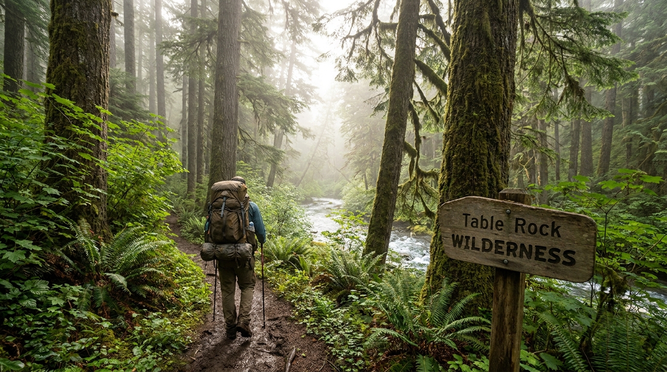
From the trailhead at around 3,200 feet, the trail climbs steadily through mixed conifer old growth. The first two miles are the steepest, working up through fern-lined switchbacks under impressive Douglas fir specimens — some with diameters exceeding five feet. Watch for Roosevelt elk sign throughout this lower section; Table Rock country has a resident herd.
By mile 2.5, the trail breaks into more open montane forest. At mile 3.5, a short spur leads to a viewpoint south toward the Molalla drainage. Continue on to the plateau. Camp is best established on the edges of the plateau near the summit — flat ground is limited, so arrive early. There is no water on the plateau itself; carry water from the last reliable stream crossing at mile 3.
Day 2: Summit to Rooster Rock and Return (~5–6 miles)
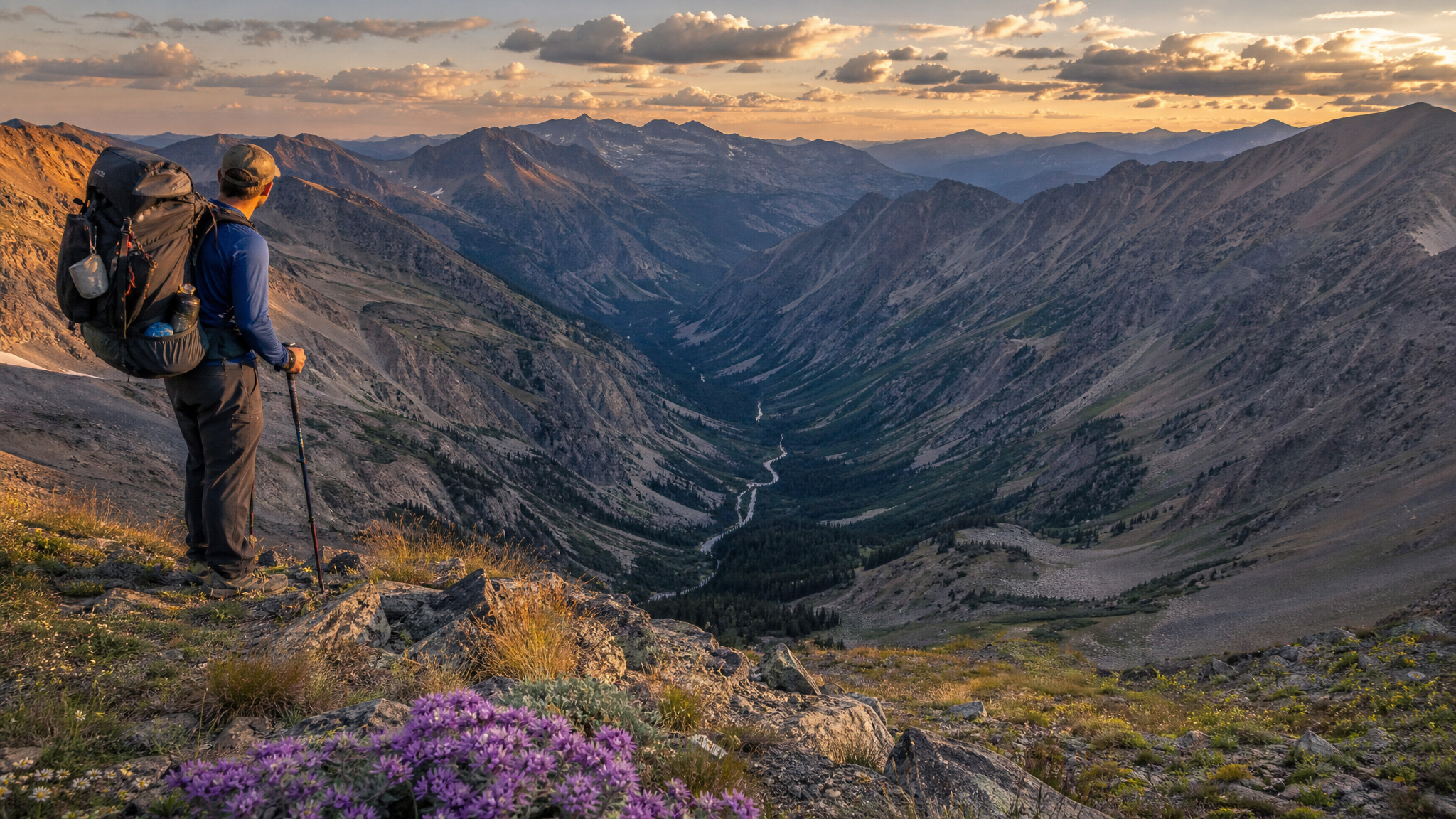
Morning on the Table Rock plateau — when Cascade peaks glow in alpenglow and fog fills the Willamette Valley below — is one of those experiences that explains why people backpack. Take your time before dropping off the south edge to intersect the Rooster Rock Trail. This route descends through old-growth stands and returns to the main forest road system, connecting back to your starting point via a short road walk or vehicle shuttle.
Camping Regulations and LNT Notes
- Campfires are prohibited above 4,000 feet on the plateau in summer. A canister stove is required for hot meals at summit camps.
- Camp 200 feet from water sources and established trails.
- Use existing impact zones rather than creating new campsites on the fragile plateau.
- Dogs are allowed but must be on leash at all times in the wilderness area.
What to Pack for Table Rock
- Water: No reliable water on the upper plateau. Carry 3L from the last stream crossing at mile 3. A Sawyer Squeeze or BeFree filter covers emergencies.
- Navigation: The trail system is not heavily signed. Download the trail network from Gaia GPS or CalTopo before leaving cell service.
- Weather: The plateau is exposed. Even in August, temperatures can drop into the 40s overnight and afternoon thunderstorms build over the Cascades. A 20-degree sleeping bag, rain shell, and pack cover are non-negotiable.
- Footwear: The trail is rooted and rocky in places — trail runners work fine but low hiking boots provide more ankle stability on the descent.
Best Time to Visit
July through mid-October is the optimal window. Snow can linger on the plateau through June in heavy snow years. Peak wildflower bloom on the upper slopes runs late July through mid-August. Fall color — vine maple, huckleberry — arrives by late September. Summer weekdays see almost no other hikers; even busy summer weekends are comparatively uncrowded.
Why You Have Not Heard of It
That is the best part. Table Rock lacks the dramatic glacial scenery of Hood or the long-distance trail cachet of the PCT. It is a modest, quiet wilderness that rewards those who seek it out with exactly one increasingly rare commodity: actual solitude, close to home, in genuine old-growth forest. Bring a book for the summit morning. You will have time to read it.