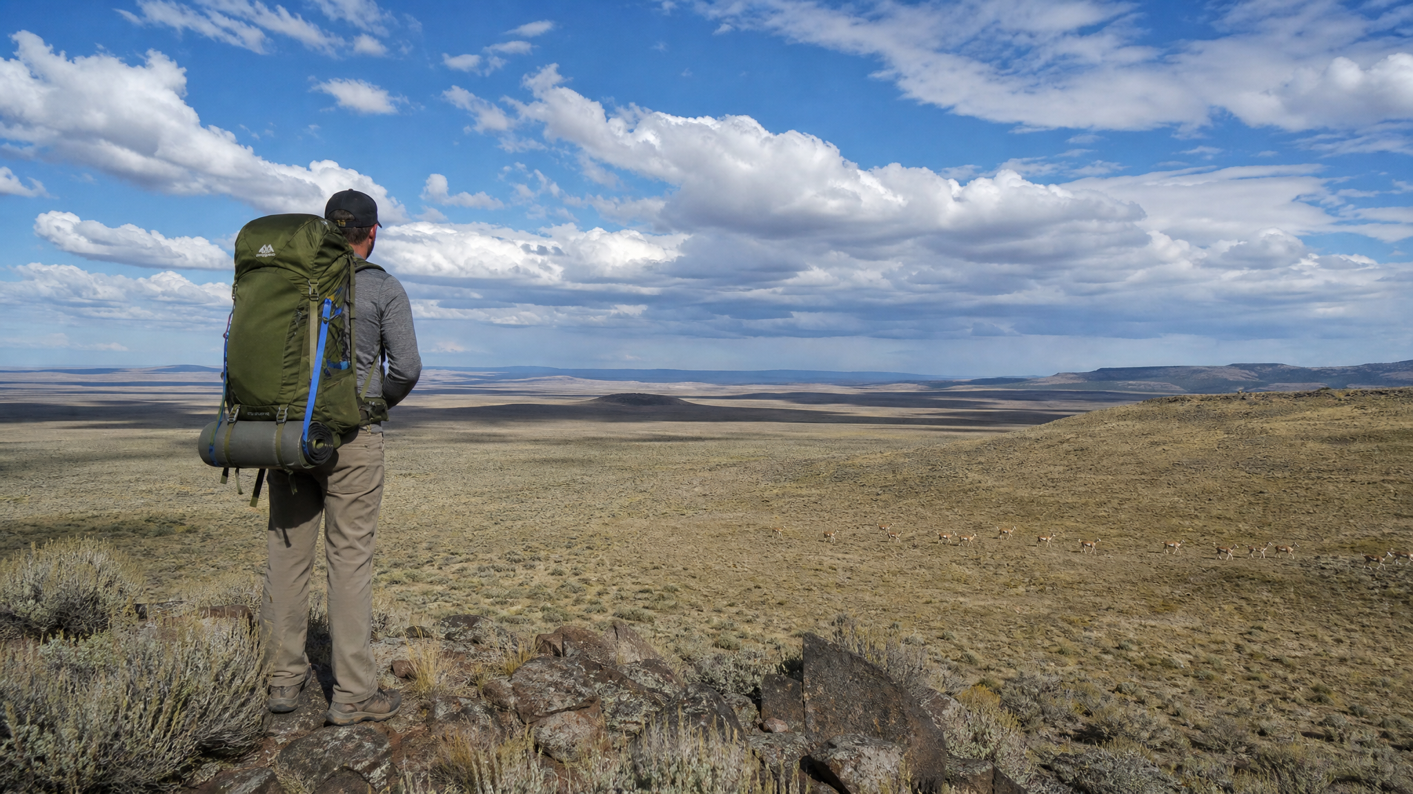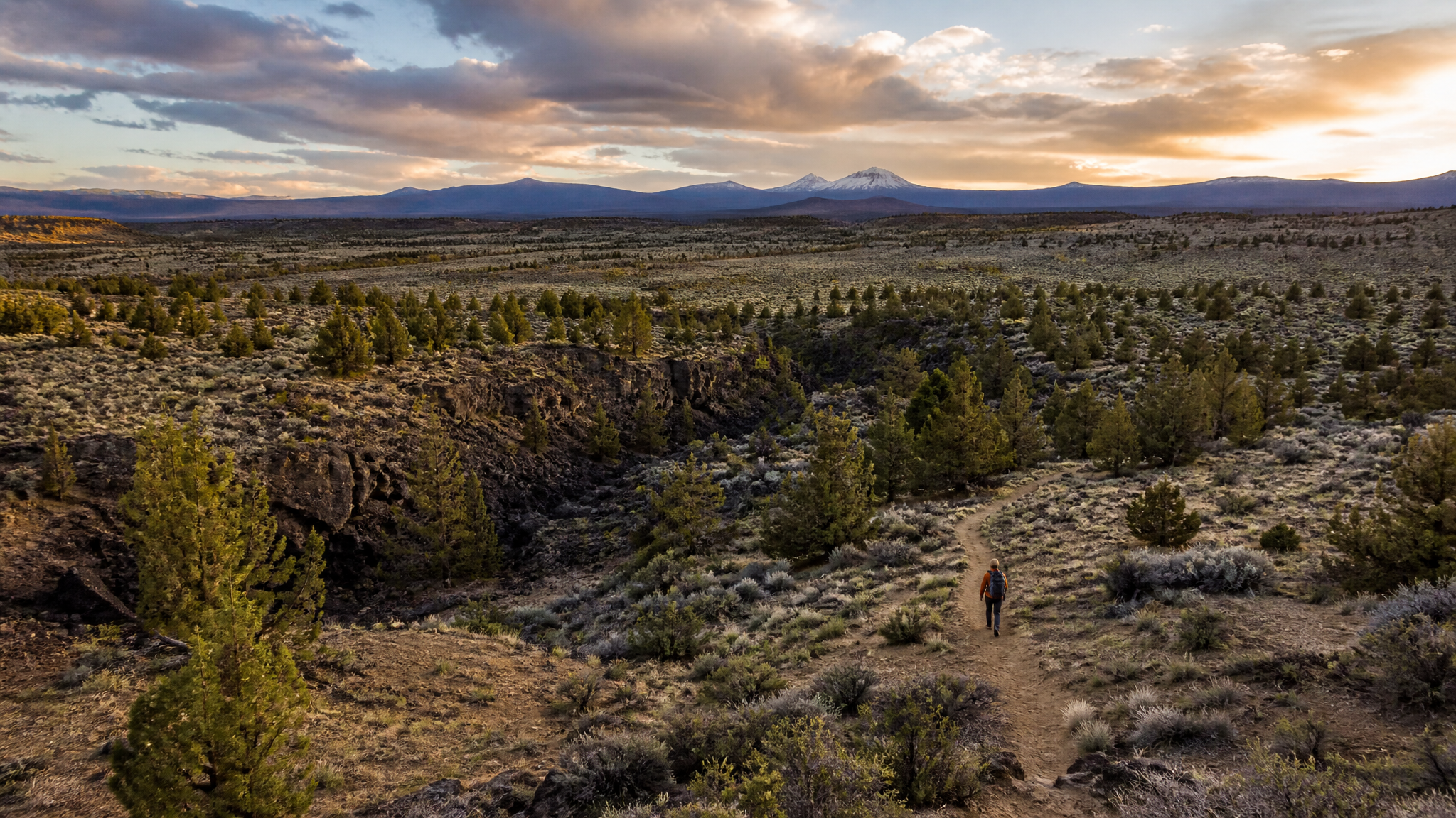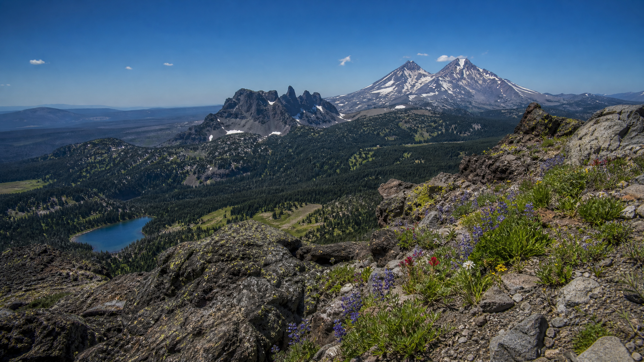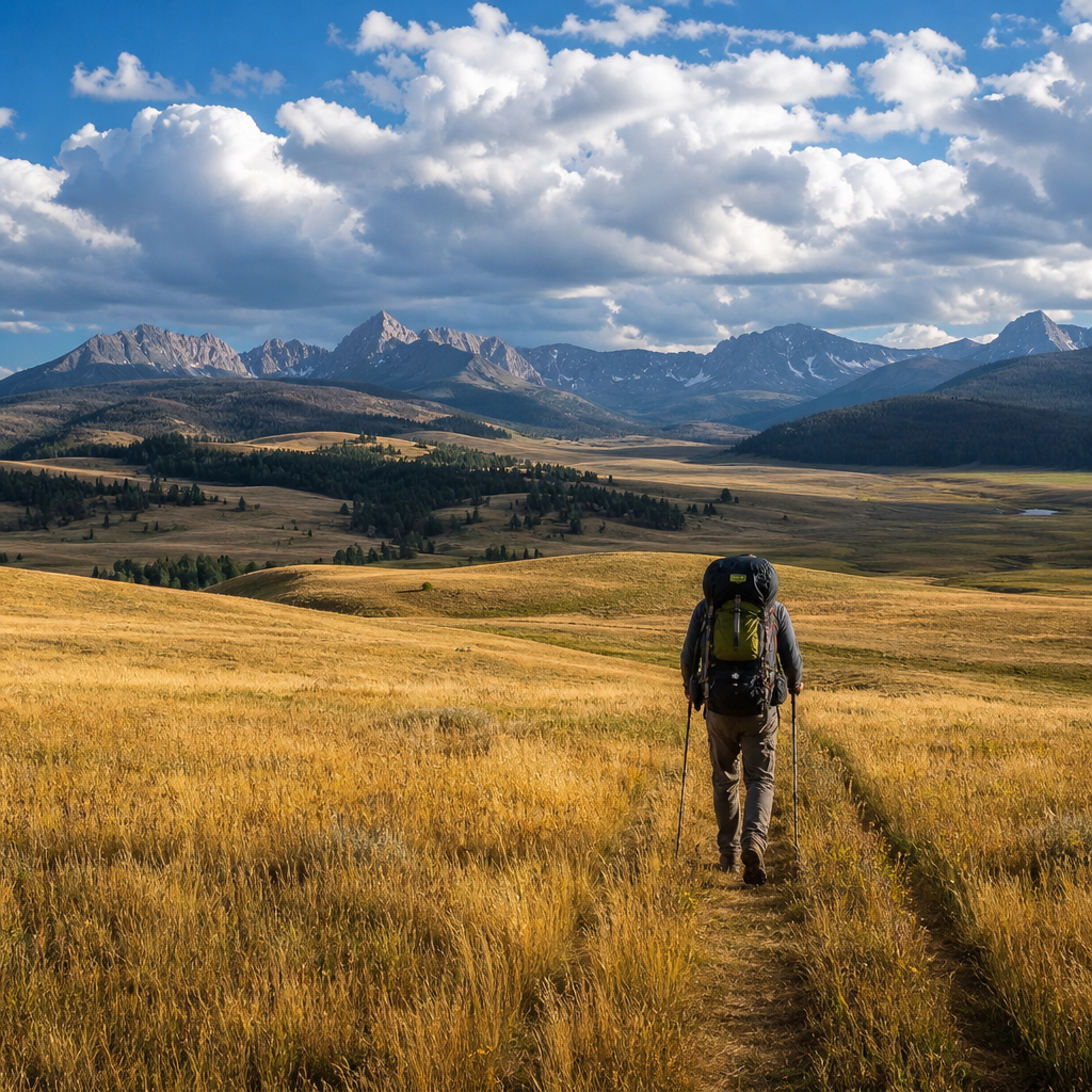
Most Oregon backpackers think of the Wallowa Mountains when they think of northeast Oregon — the Eagle Cap Wilderness, the Lostine River, Ice Lake. Those are spectacular trips. But 30 miles to the north, separated from the high peaks by a dramatic canyon rim, Zumwalt Prairie offers something fundamentally different: a landscape so open and so empty that it reorients your sense of scale.
Managed by The Nature Conservancy, the Zumwalt Prairie Preserve covers more than 330,000 acres of rolling bunchgrass terrain — one of the largest intact grassland ecosystems remaining in the inland Pacific Northwest. The prairie itself is home to ferruginous hawks, long-billed curlews, and elk herds that can number in the hundreds. The surrounding terrain drops into the deeply cut Chesnimnus Creek canyon, adding dramatic topographic contrast to a landscape that could otherwise read as simply vast.
This 3-day loop combines open grassland travel with canyon hiking and some of the best unguided wildlife viewing in Oregon.
Logistics
- Distance: Approximately 22–26 miles (loop route varies by access point)
- Elevation gain: 2,400 ft total (minimal single climbs; rolling terrain)
- Difficulty: Moderate — the terrain is open but long days on grass with no shade test endurance
- Best season: June through early October; July and August are prime for wildflowers and elk
- Permits: None required for day hiking. Check The Nature Conservancy's current access policy for overnight camping — the preserve has specific camping guidelines and some areas are closed during nesting season (April–June)
- Water: Seasonal; reliable at Chesnimnus Creek and its tributaries. Springs on the upper prairie can dry up by August — always filter and plan your water sources before leaving
Getting There
From Enterprise, Oregon, drive north on Zumwalt Road approximately 30 miles. The pavement ends before the preserve boundary — a high-clearance vehicle is helpful but not mandatory on the main road. The preserve's Zumwalt Road trailhead provides the most straightforward access. Cell service is nonexistent beyond the first few miles out of Enterprise; download offline maps on CalTopo or OnX before you leave.
Day 1: Prairie Crossing to Chesnimnus Canyon Rim (7–9 miles)
Start early. The exposed bunchgrass prairie offers no shade, and summer afternoons can push 90°F on clear days. The morning light across the rolling terrain — and the Wallowa Mountains rising behind you to the south — is one of the finest views in eastern Oregon.
Elk are frequently visible in the morning hours. Mid-August elk here are in summer velvet, and it's not uncommon to glass dozens of bulls from a single vantage point on the upper prairie. Bring your spotting scope if you're not concerned about weight — the grassland optics game is as good here as anywhere in the state.
As you move north toward the Chesnimnus Creek drainage, the prairie breaks into a series of canyon rims with dramatic views down into the creek bottoms. Camp near the rim, where evening breezes cool the site and morning thermals bring raptors to eye level.
Day 2: Chesnimnus Creek Canyon (6–8 miles)
Drop into the canyon. The Chesnimnus Creek drainage is a different world — riparian cottonwood and willow bottom, cold clear water, and the constant sound of running creek against canyon silence. This is where the loop earns its character. Rattlesnakes are present; watch where you step in rocky areas and around downed timber.
The creek supports wild trout — primarily redband rainbow — in its upper reaches. An ultralight rod and a few dry flies add a legitimate fishing dimension to this trip. Check current regulations for the Chesnimnus Creek drainage before you go; much of it falls under special regulations or tribal considerations depending on the reach.
Camp in the bottom near the creek. Night temperatures drop dramatically in the canyon, often 20°F cooler than the rim — welcome after a hot afternoon of travel.
Day 3: Canyon Exit and Prairie Return (7–9 miles)
Climb back out of the canyon in the morning cool, regain the prairie, and return to the trailhead. This is the hardest day physically — the exit climb is sustained but not technical. Take it slow and reward yourself with the view from the rim before dropping back toward the car.
Watch the sky on the way out. Afternoon thunderstorms build over the Wallowas in August and can roll across the open prairie with little warning. If you see anvil clouds building to the southwest, move: there is no shelter on the open grassland, and lightning exposure on the upper prairie is real.
What to Bring
- Sun protection: Hat, sunscreen, lightweight sun hoody — mandatory. This is exposed, high-elevation grassland with no natural shade.
- Wind layer: Even in August, the prairie is windy and canyon nights are cold. A puffy and wind shell are not optional.
- Navigation: GPS with downloaded topo maps. Trails are minimal — much of this is cross-country travel on open terrain. Know how to navigate with a map and compass as backup.
- Water capacity: Carry at least 3 liters. Water sources on the upper prairie are unreliable in late summer.
- Wildlife protocol: You are in functioning elk and raptor habitat that The Nature Conservancy manages specifically for wildlife. Stay on designated routes where marked, don't disturb nesting areas, and leave no trace rigorously.
Why It's Worth It
Zumwalt Prairie is not a dramatic landscape in the way that Eagle Cap or the Wallowas proper are dramatic. There are no jagged peaks, no glacial lakes, no postcard vistas with a waterfall in the foreground. What it offers instead is rare: genuine space, intact grassland ecology, and the kind of wildlife density that reminds you Oregon's high desert was once — and still is — deeply alive.
If you've done every loop in the Eagle Cap Wilderness and you're looking for what's next, the answer might be 30 miles to the north, across an unmarked cattle guard, on a road that slowly disappears into the grass.