Most Wallowa Mountains backpackers head straight for the Lakes Basin — Hurricane Creek, Aneroid Lake, Ice Lake — and for good reason. But the southern Wallowas, accessed via the old mining town of Cornucopia off Highway 86 near Halfway, are a different world entirely. Fewer people, equally dramatic terrain, and the kind of route-finding challenge that makes the Eagle Cap Wilderness feel earned rather than handed to you.
The Cornucopia to Hawkins Pass traverse is a 28- to 32-mile (depending on your exact routing) three-day loop that takes you through the Pine Creek drainage, over Hawkins Pass at 8,900 feet, and back through the upper Imnaha River headwaters before looping south to the trailhead. It is not a beginner route. Snow can linger on the pass approach into late July, and the trail above the creek drainages is sometimes more suggestion than certainty. But for the experienced backpacker willing to read a map and trust their legs, this is one of the finest high-route experiences in Oregon.
Getting There
From La Grande or Baker City, take I-84 to the Highway 86 junction and head east toward Halfway. About 8 miles east of Halfway, a signed Forest Road leads north toward Cornucopia — the old gold mining ghost town that serves as the de facto trailhead for this route. The last 4 miles are rough dirt road; a high-clearance vehicle is advisable, though not absolutely required in dry conditions. Cornucopia has dispersed camping near the trailhead, and you can stage your gear and get a pre-dawn start on day one.
No trailhead permits are currently required for Eagle Cap Wilderness access, though self-issue permits are available at the trailhead box. Fill one out — it costs nothing and helps the Forest Service justify budget for trail maintenance.
Day 1: Cornucopia to Upper Pine Creek Basin (9-11 miles)
The route begins on the Pine Creek Trail (Trail 1884), climbing steadily from the trailhead through open mine-scarred terrain before entering the Eagle Cap Wilderness boundary and transitioning into old-growth mixed conifer. The lower canyon is gorgeous and largely shaded — a welcome gift if you’re starting in mid-morning summer heat.
The trail gains roughly 2,800 feet over the course of the day’s travel. Aim for the upper basin around 7,000 to 7,400 feet, where several small alpine lakes and tarns provide reliable water and flat camping. The largest of these — sometimes called Upper Pine Creek Lake on older maps though it lacks an official name — sits in a cirque backed by vertical granite walls and offers some of the best camping in the southern Wallowas.
Water is plentiful throughout the Pine Creek drainage; filter everything. Leave No Trace camp at least 200 feet from any water source and 200 feet from the trail. This basin sees few visitors and should stay that way.
Day 2: Upper Basin Over Hawkins Pass and Into the Imnaha Headwaters (8-10 miles)
This is the crux of the route and the most demanding day. From the upper basin camp, the trail — such as it is — climbs steeply to Hawkins Pass at 8,900 feet. In early July, this upper approach will be on snow; by mid-July, the south-facing aspect is usually clear. A pair of trekking poles is not optional here — they are essential on the snow-patched upper slopes.
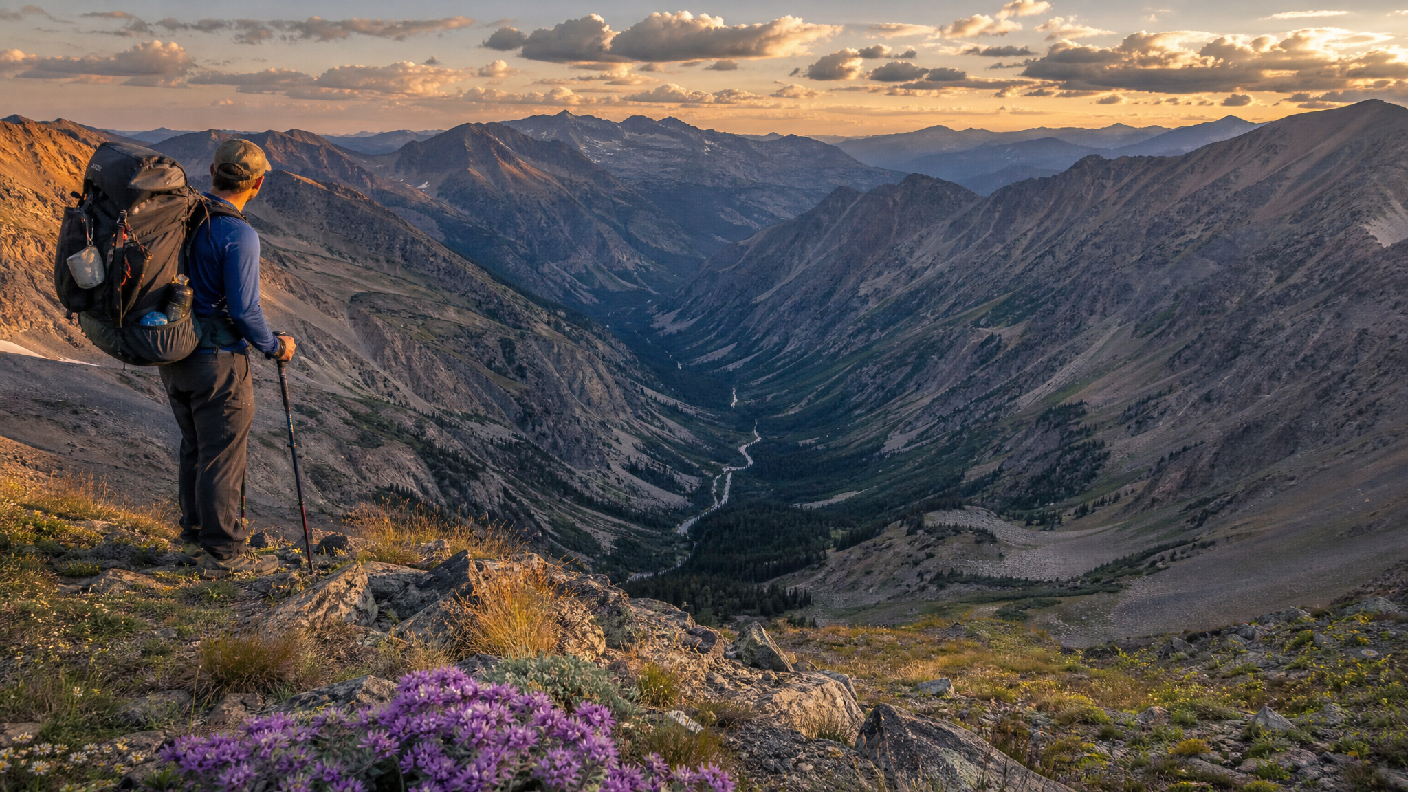
The pass itself is a narrow notch in the ridgeline with one of the most dramatic 360-degree views in the Eagle Cap Wilderness. To the north, the main Wallowa peaks — Eagle Cap, the Matterhorn, Sacajawea — dominate the horizon. To the south, the Hells Canyon country stretches into Idaho, brown and enormous in the summer haze.
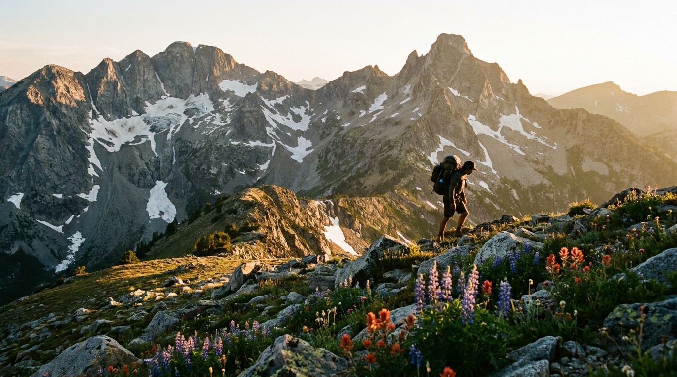
The descent into the Imnaha headwaters is steep and in places requires hands-on scrambling over loose rock. Take your time. The upper Imnaha drainage opens into a broad, wildflower-choked basin by the time you drop below 8,000 feet, and camping in the meadows along the infant river is exceptional.
Day 3: Imnaha Headwaters Back to Cornucopia (10-12 miles)
The final day follows the upper Imnaha Trail south and then west, connecting via forest roads and secondary trails back to the Cornucopia trailhead. The routing on this section requires careful navigation — carry paper topo maps (7.5-minute USGS quads for the Cornucopia and Krag Peak quadrangles) in addition to your GPS or phone-based mapping app. Cell service is nonexistent throughout this route.
The lower trail loses elevation quickly and passes through some of the finest ponderosa pine forest in northeast Oregon before emerging near the old mine workings and the trailhead. Plan to be back at the cars by early to mid-afternoon.
What to Pack
- Navigation — Paper topos (Cornucopia and Krag Peak USGS quads) plus Gaia GPS or OnX Backcountry loaded offline. This is not a trail where you wing it on phone navigation.
- Footwear — Mid-height trail runners or light hiking boots with ankle support. The descent from Hawkins is rough enough to punish soft shoes.
- Trekking poles — Mandatory for the pass if any snow remains. Helpful throughout.
- Water filter — A Sawyer Squeeze or similar. Water is abundant throughout.
- Bear canister or hang kit — Black bears are present in the southern Wallowas. Store food properly; this is genuine bear country.
- Extra layers — July nights at 7,000 feet can drop below freezing. Don’t underestimate it.
- Sun protection — Above treeline is relentless exposure at altitude. SPF 50+ and a hat are non-negotiable.
Wildlife and Timing
The southern Wallowas in mid-July to mid-August are exceptional for wildlife. Mountain goats work the upper ridgelines above Hawkins Pass regularly — glass the talus and cliff bands carefully. Mule deer are common throughout the drainage, and you may push elk from the upper meadows at dawn. Golden eagles are frequent overhead in the cirques.
The window from July 15 through September 15 is the reliable travel season. Earlier than mid-July and Hawkins Pass will require an ice axe and the skills to use it. After mid-September, early snows can close the pass with little warning. Late July through August is the sweet spot: wildflowers are peaking, streams are down to wading height, and the mosquitoes from snowmelt have largely dissipated.
Final Notes
The Cornucopia to Hawkins Pass route is for people who find solitude worth working for. You will not see crowds here. The trail is maintained to a lower standard than the heavily trafficked northern routes, and that is part of its character. Come prepared, move confidently, and leave the southern Wallowas the way you found them: wild, quiet, and largely undiscovered.