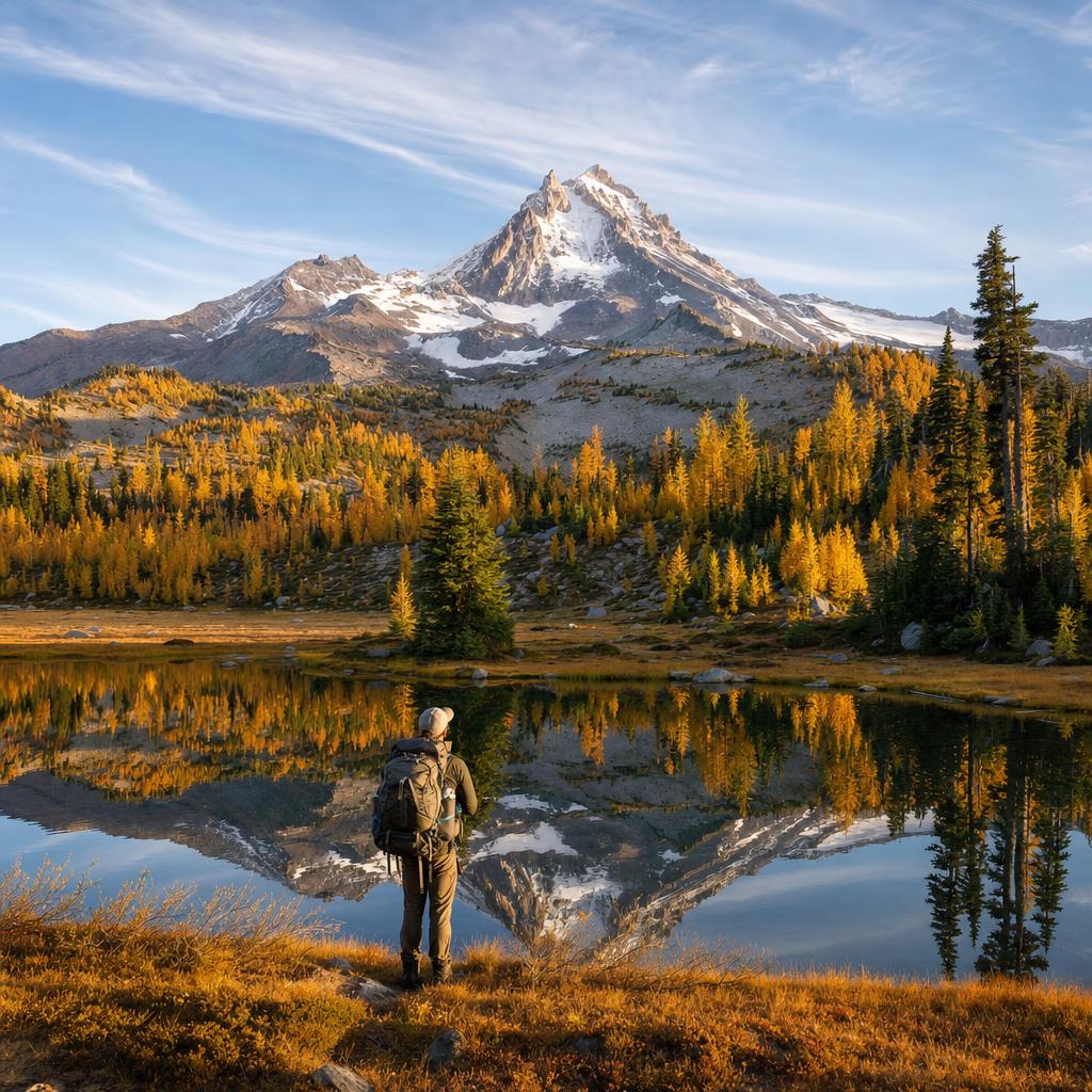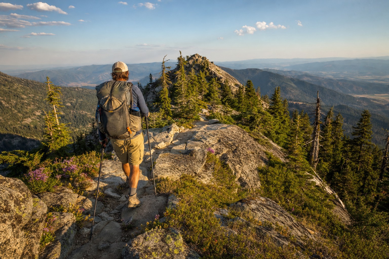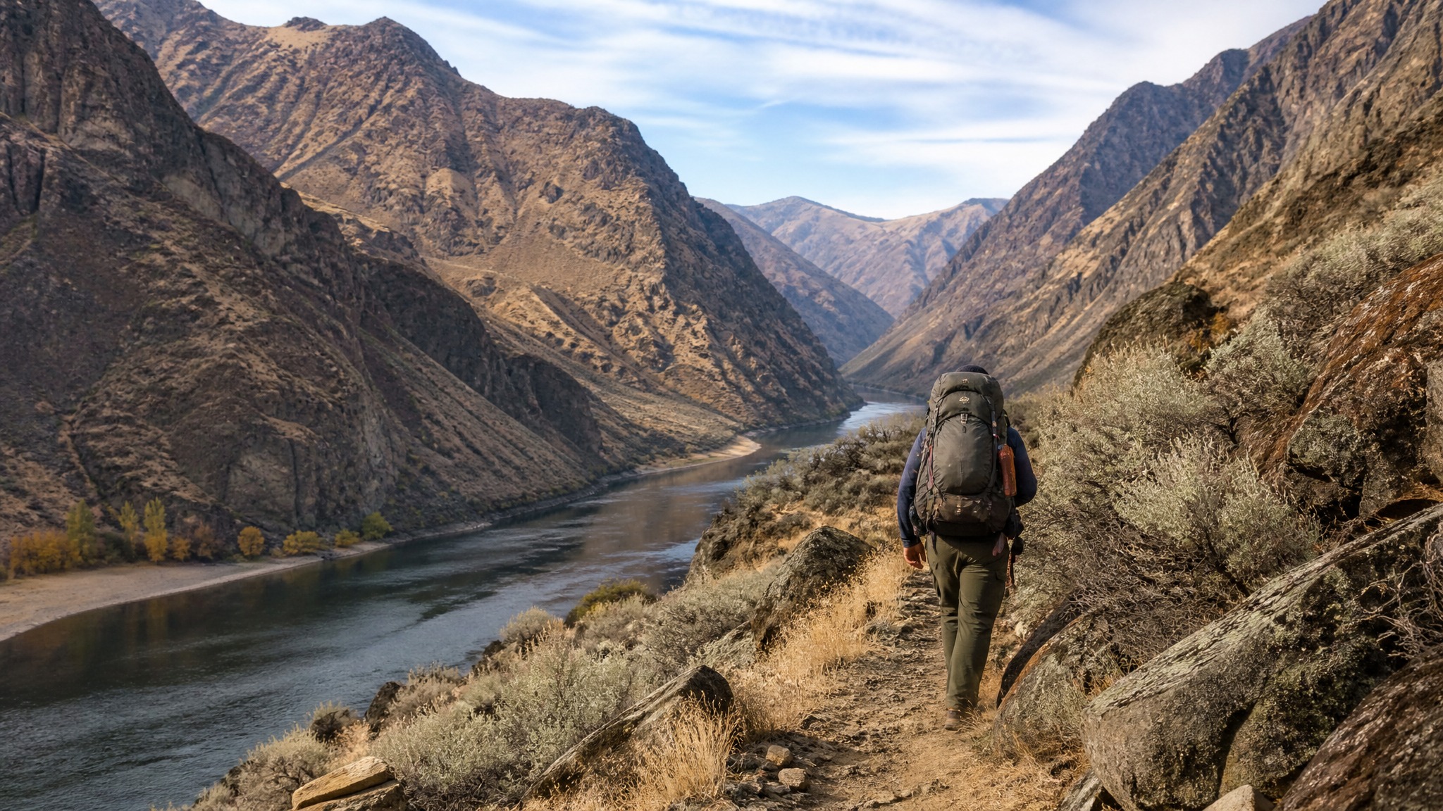
Hells Canyon is the deepest river gorge in North America — deeper than the Grand Canyon by nearly 2,000 feet. The Snake River carves through basalt walls that rise over 8,000 feet above the water, forming a wilderness corridor on the Oregon-Idaho border that is simultaneously spectacular, brutal, and almost entirely free of other people. The Snake River Trail, running roughly 30 miles from Dug Bar south to Pittsburgh Landing, is one of the most remote and rewarding fall backpacking routes in the Pacific Northwest.
October is the ideal window. Summer heat in the canyon is punishing — days routinely hit 100°F or higher — and rattlesnakes are active and aggressive on hot rock. By early October, temps have dropped into the 70s during the day and 40s at night. The river glows amber in the low-angle light, bighorn sheep pick their way across the basalt slides above you, and you will almost certainly have the trail to yourself for days at a stretch.
The Route: Dug Bar to Pittsburgh Landing
This is a point-to-point route requiring a vehicle shuttle or a second driver. Dug Bar (the northern trailhead) is accessed via Dug Bar Road out of Imnaha, Oregon — a 24-mile single-lane gravel road that drops 4,000 feet into the canyon. High clearance is strongly recommended; a 4x4 with a locking differential is better. The drive alone takes 90 minutes from Imnaha. Pittsburgh Landing (Idaho, southern end) is accessed from White Bird, Idaho, via a paved forest road — far easier.
Most parties leave a vehicle at Pittsburgh Landing and drive to Dug Bar to begin, hiking north-to-south so the harder logistics are front-loaded.
Day-by-Day Itinerary (4 Days / 3 Nights)
Day 1: Dug Bar to Eureka Bar (~9 miles)
The trail begins at the Snake River's edge at Dug Bar — flat, open, and strikingly beautiful from the first step. The path hugs the Oregon bank, winding through sagebrush and bunchgrass benches above the river. You'll pass the Rush Creek confluence around mile 4 and drop back to river level at Cactus Bar, a popular fishing camp with a flat site. Push on to Eureka Bar at mile 9 — a wide gravel bar with good tent sites, a primitive pit toilet, and the burned-out ruins of an old homestead. Camp here for night one.
Day 2: Eureka Bar to Kirkwood Ranch (~8 miles)
This is the most scenic section of the entire trail. Above Eureka Bar, the canyon walls compress and the trail climbs onto exposed ledges 200-400 feet above the river. Watch your footing — the trail is narrow and loose in places, and the exposure is real. Kirkwood Ranch at mile 17 is an NPS-managed historic site with a small museum (unstaffed in fall), an outhouse, and flat camping on the gravel benches. The ranch has a hand-pump water source — confirm it's operational before relying on it; the river is always an option with filtration.
Day 3: Kirkwood Ranch to Bernard Creek (~9 miles)
The middle canyon opens up slightly south of Kirkwood, and the trail becomes more of a bench walk through open grassy slopes. You'll cross several seasonal drainages — most are dry by October, so carry extra water from the river before heading out each morning. Bernard Creek at mile 26 has a USFS guard station (closed in fall) and the best established campsite on the route, with a fire ring, flat ground, and reliable creek water. This is also the last reliable water source before Pittsburgh Landing.
Day 4: Bernard Creek to Pittsburgh Landing (~5 miles)
A straightforward finish through lower canyon terrain. The trail gradually descends to the river level and the gravel bar at Pittsburgh Landing, where your shuttle vehicle should be waiting. Total mileage: approximately 31 miles over 4 days with minimal elevation gain (the canyon bottom is nearly flat, elevation ranging only from about 1,100 to 1,400 feet).
Water, Food, and Bears
The Snake River is your primary water source the entire route. Filter everything — agricultural and grazing runoff enters the river from Idaho. A squeeze filter (Sawyer Squeeze or similar) works well here; a SteriPen as backup is smart given the turbidity after any recent rain upstream.
There are no resupply points. Pack 4 days of food for a 4-day trip, plus one emergency day. Bears exist in Hells Canyon but black bear pressure is lower here than in the wetter Cascades. A bear canister is not required but hanging your food at Kirkwood and Bernard Creek is good practice.
Wildlife and Hazards
- Rattlesnakes: Western rattlesnakes are common through the lower canyon. In October they're still active but slower than in summer. Watch where you step and where you put your hands on ledge sections. Gaiters are worth wearing.
- Bighorn sheep: Rocky Mountain bighorns are frequently seen on the upper canyon walls, especially on the Idaho side between Kirkwood and Bernard Creek. Bring binoculars.
- Sturgeon: White sturgeon — some over 10 feet long — lurk in the Snake River's deep holes. If you bring a fishing rod and an Idaho or Oregon fishing license, you can fish from camp.
- River crossings: The described route stays on the Oregon bank and does not require any river crossings in normal fall conditions. Do not attempt to ford the Snake — it runs fast and cold even in low water.
Permits and Regulations
No overnight permit is currently required for the Snake River Trail in Hells Canyon Wilderness. A Northwest Forest Pass or America the Beautiful pass is not required at Dug Bar (no fee station). A campfire permit is required — obtain a free Oregon campfire permit at campfire.oregon.gov before your trip. Check fire restrictions; fall restrictions typically lift by mid-October but confirm with the Wallowa-Whitman National Forest Hells Canyon NRA office in Enterprise, Oregon at (541) 426-5546.
Gear Notes for October
The canyon at river level is warm even in October — afternoon highs in the low 70s are common. But night temps drop fast and wind can funnel hard through the gorge. A 20°F sleeping bag is appropriate; a 3-season tent with good guy-out points handles the occasional canyon gusts. Lightweight trail runners work well on the mostly flat trail, but ankle support is worth considering on the ledge sections above Eureka Bar. Trekking poles are highly recommended.
Hells Canyon rewards preparation and punishes underestimating it. Go in with full water bottles, a downloaded offline map (Gaia GPS — download the Hells Canyon NRA topo layer), and a clear head. In return, it will give you four days in a place that genuinely feels like the edge of the world.