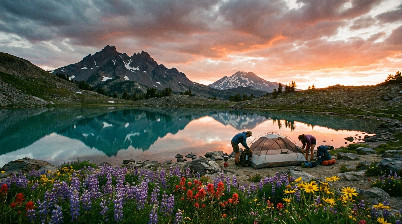
Most Oregon backpackers know the Three Sisters, Eagle Cap, or the Sky Lakes Wilderness. Almost nobody knows the Siskiyou Crest. That's not an accident—the Siskiyou Mountains in southwestern Oregon are botanically bizarre, geologically ancient, and spectacularly isolated. The crest route from Pilot Rock south and west toward Grizzly Peak traverses some of the most unusual terrain in the Pacific Northwest: ultramafic soils that support endemic plant species found nowhere else on earth, open serpentine barrens exposed to the sky, and views that stretch from Mount Shasta to the Pacific on clear days.
If you want a route that feels genuinely remote, geologically strange, and ecologically unlike anything else in Oregon, this is it.
The Route Overview
The Siskiyou Crest isn't a designated wilderness area in the traditional sense—it's a high ridgeline route threading through a patchwork of Rogue River-Siskiyou National Forest land, some BLM parcels, and the 12,000-acre Cascade-Siskiyou National Monument at the eastern end near Pilot Rock. The route is best approached as a point-to-point traverse using two vehicles, or as an out-and-back from Grizzly Peak Road with a day hike extension to Pilot Rock.
Total distance: 22–28 miles depending on route variations
Recommended days: 3 days / 2 nights minimum; 4 days allows exploration side trips
Best season: Late June through September (snow lingers on the higher sections into June most years)
Total elevation gain: Approximately 4,500–6,000 feet depending on approach
Trailhead Access
Eastern Trailhead (Pilot Rock): From Ashland, take Highway 66 east to the Mount Ashland Road exit. Follow signs toward Mount Ashland Ski Area but turn off onto Siskiyou Crest Road (Forest Road 20). Pilot Rock is accessible via a short 1.5-mile trail from a small pullout. The rock itself is a dramatic volcanic plug that provides the best views in the eastern Siskiyous.
Western Trailhead (Grizzly Peak): From Ashland, take Dead Indian Memorial Road east then turn onto Shale City Road. Follow to Grizzly Peak Road. The Grizzly Peak Trailhead sits at about 5,000 feet and has limited parking—arrive early on summer weekends.
Cell service is limited throughout the route. Download offline maps via CalTopo or Gaia GPS before leaving Ashland.
Day-by-Day Breakdown
Day 1: Pilot Rock to Siskiyou Crest Camp (7–9 miles)
Start at Pilot Rock and hike the summit trail for the panoramic view before dropping onto the crest route heading west. The terrain through the Cascade-Siskiyou Monument is open and exposed—serpentine barrens supporting strange dwarf conifers, iris, and endemic buckwheats that bloom through early July. Water sources are scarce in this eastern section; carry 3+ liters from the parking area. Camp near the first reliable seasonal springs at approximately the 7-mile mark. Expect big views toward Mount McLoughlin and the Cascades.
Day 2: Siskiyou Crest to Bull Gap Area (8–10 miles)
The second day traverses the heart of the route through mixed conifer forest interspersed with open ridgeline sections. The contrast between the serpentine barrens and the adjacent normal soils supporting dense Douglas fir is dramatic and visible within short distances. This geological boundary—where ultramafic rock meets normal granite and sedimentary formations—is the Siskiyou's defining ecological feature. Water becomes more available in this section from seasonal streams and seeps. Camp at Bull Gap or the open ridgeline near Mount Ashland's communication towers (the towers are visible but the campsites are away from the facility).
Day 3: Bull Gap to Grizzly Peak (6–8 miles)
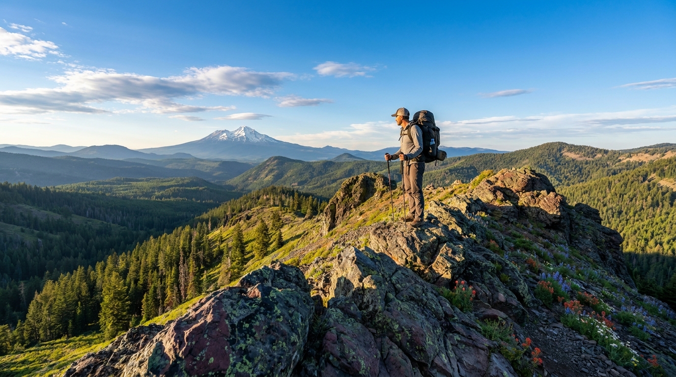
The final day climbs toward Grizzly Peak, the route's western high point at about 5,600 feet. The summit provides arguably the best view of the route: Ashland and the Rogue Valley below, Mount Shasta floating above the California horizon, and the Cascades ranging north. Descend the Grizzly Peak Trail to the western trailhead.
Water Sources and Filtration
Water planning is critical on the Siskiyou Crest, particularly in the eastern serpentine sections where springs and streams can be scarce. Key sources:
- Hobart Bluff area springs (eastern section, check current conditions)
- Seasonal streams at the forested mid-section (reliable through July)
- Bull Gap area seeps and seasonal pond (typically reliable into August)
- Grizzly Peak slopes (seasonal streams from snowmelt through early summer)
Carry a minimum 3-liter capacity and a reliable filter. Sawyer Squeeze or BeFree systems handle the sediment typical in seasonal mountain sources. On hot days in late July and August, carry more capacity than you think you need.
Wildlife and Botany
The Siskiyou Crest route passes through one of North America's biodiversity hotspots. The serpentine barrens support endemic plant species found nowhere else—Siskiyou iris, specialized buckwheats, and rare conifers adapted to the toxic ultramafic soils. For botanists, a summer permit through the Monument and careful off-trail exploration reveals plant communities that are genuinely irreplaceable.
Wildlife includes black bear (present, particularly around berried shrubs in late summer), mule deer, and an occasional California condor (the Siskiyou-Shasta area is reintroduction habitat). Rattlesnakes are present in the eastern serpentine sections—watch your step on rocky terrain.
Permits and Regulations
The Cascade-Siskiyou National Monument portion requires no permit for day hiking, but check BLM guidelines for overnight camping within Monument boundaries. The National Forest sections follow standard dispersed camping rules: camp 200 feet from water, trails, and roads; pack out all waste; no campfire restrictions unless posted (check with the Ashland Ranger District before your trip—fire restrictions are common July–September).
What to Pack
- Water: Minimum 3-liter capacity, filter mandatory
- Sun protection: The crest is open and exposed—sunscreen, hat, and UV clothing
- Wind layers: The ridgeline is exposed to prevailing westerlies and temperatures drop fast at elevation
- Navigation: Download CalTopo or Gaia maps offline; trail markings are inconsistent in the western sections
- Sandal or camp shoe: Rocky terrain makes camp footwear worthwhile
The Siskiyou Crest route rewards the kind of hiker who's more interested in place than amenity. There are no alpine lakes, no dramatic waterfalls, and no crowds. What you get instead is a landscape that doesn't look like the rest of Oregon—ancient, botanically alien, and genuinely wild. Worth every step.