Stand at the summit of Mount Thielsen on a clear summer morning and you understand immediately why lightning has struck this peak thousands of times. The volcanic plug rises from the surrounding forest like a stone fang, its final 400 feet a near-vertical scramble of fractured basalt that tops out at 9,182 feet above sea level. Below it, the Pacific Crest Trail threads through one of Oregon's most dramatic wilderness landscapes — high lakes, pumice fields, and the kind of exposed ridge walking that reminds you why you carry a map.
The Wilderness Area
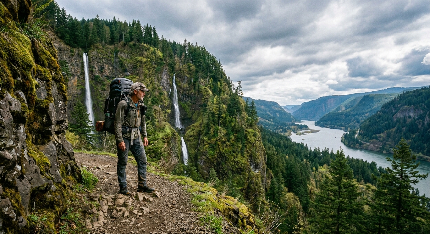
Mount Thielsen Wilderness covers roughly 55,000 acres in the Umpqua and Winema-Fremont National Forests, straddling the crest of the southern Oregon Cascades between Crater Lake and Diamond Lake. The PCT runs the spine of the wilderness for about 12 miles, making it an ideal through-route or base for multi-day trips. The terrain is high and exposed — most of the wilderness sits above 6,000 feet, with the ridgeline consistently above 7,000. Snow can persist into early July on north-facing slopes; plan your trip accordingly.
The wilderness is accessed primarily from Highway 138 (the Diamond Lake Corridor) on the north and from Crater Lake's north rim on the south. Cell service is nonexistent. Water sources are reliable from snowmelt and high lakes through August but may require filtering.
The Route: A 3-Day PCT Traverse and Summit
Day 1: North Thielsen Trailhead to Thielsen Creek Camp (8 miles)
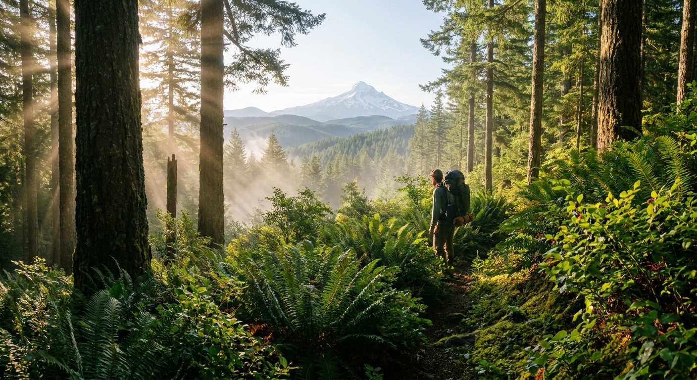
Start at the North Thielsen Trailhead off Highway 138, roughly 3 miles east of Diamond Lake. The trail climbs steadily through lodgepole pine and mountain hemlock before breaking into open pumice flats with clear views of the summit ahead. Drop your pack at Thielsen Creek — reliable water, established tent sites, and a classic view of the north face. This is 8 miles at a comfortable pace, making it an easy first day that leaves you fresh for the summit push.
At camp, study the route to the summit. From the PCT junction, the Mount Thielsen Trail climbs the south and east faces. The final scramble is Class 3 — hands required, route-finding required, exposure real. Do not attempt in afternoon thunderstorms, which are common from July through August. Start your summit push before 7:00 AM.
Day 2: Summit Day and Move to Howlock Mountain Meadows (6 miles)
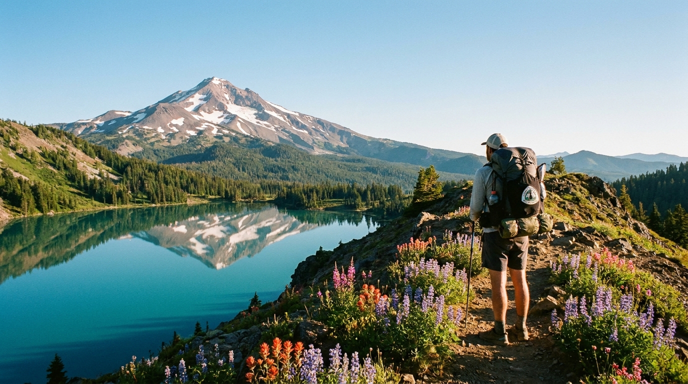
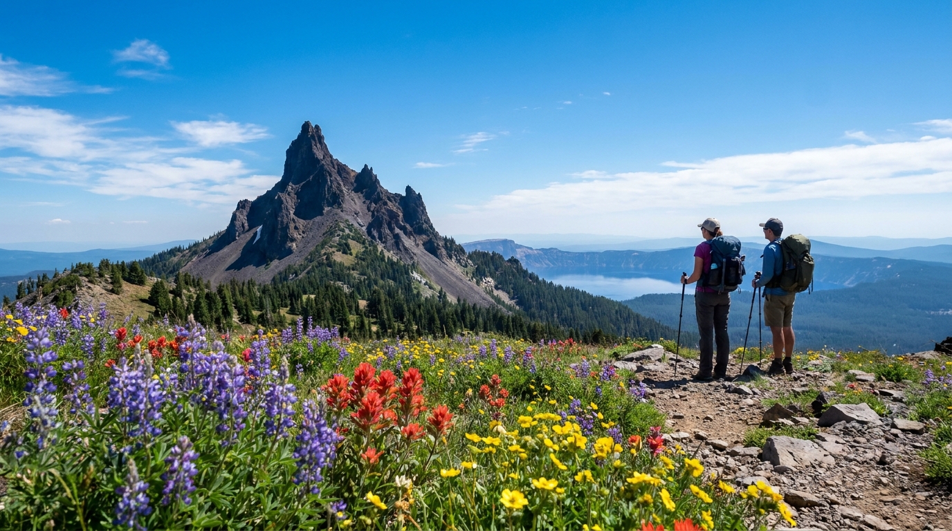
Leave camp by 6:00 AM with a light summit pack — water, snacks, rain shell, headlamp, and your Ten Essentials. The trail climbs the south ridge to a saddle, then steepens dramatically. The final scramble involves loose rock and exposed ledges. There is no trail above the saddle; follow the cairns and the path of least resistance toward the summit. The top is small and dramatically airy — a few square feet of volcanic rock with a 360-degree view that takes in Crater Lake, the Three Sisters, and on clear days, Mount Shasta 130 miles south.
After descending back to the PCT, continue south toward Howlock Mountain. The terrain opens into broad, wildflower-filled meadows with excellent views east into the high desert. Camp in the meadows below Howlock Mountain — flat ground, reliable seasonal water, minimal crowds. This section of the PCT is far less traveled than the Crater Lake corridor.
Day 3: Howlock Mountain Meadows to Thielsen Trailhead via the PCT (10 miles)
A long but beautiful final day. Follow the PCT north along the Thielsen Creek drainage, through the pumice desert on the east side of the summit massif, and back to the trailhead. The eastern approach to Thielsen is notably different in character than the west — more open, more austere, with views across the Klamath Basin and into the high desert. Wildflowers are exceptional in late July.
Gear Notes for Thielsen
- Water: Carry 2–3 liters between reliable sources. The pumice sections can be dry for 4–5 miles in August.
- Navigation: Carry a downloaded offline map (CalTopo or Gaia GPS) and a paper topo. The PCT is well-marked; the summit scramble route is not.
- Helmet: Strongly recommended for the summit scramble. Rockfall from other parties above is a real hazard on the upper mountain.
- Lightning awareness: Get off exposed ridges and off the summit by noon. Afternoon thunderstorms build quickly here from July through September.
- Permits: A self-issue wilderness permit is required (available at the trailhead). No fee. Campfire restrictions apply above 5,500 feet from July 1 through October 15.
The Best Time to Go
The summit scramble requires dry rock. Late July through early September is the prime window — snow is cleared from the trail, the summit is accessible, and the wildflowers in the meadows are at their peak. Late June can work in low-snow years but check conditions before committing. By October, early storms make the upper mountain serious business. This trip rewards patience in planning and boldness in execution. There are few peaks in Oregon that deliver the summit experience that Mount Thielsen does, and few wilderness corridors as peaceful as the PCT section running below it.