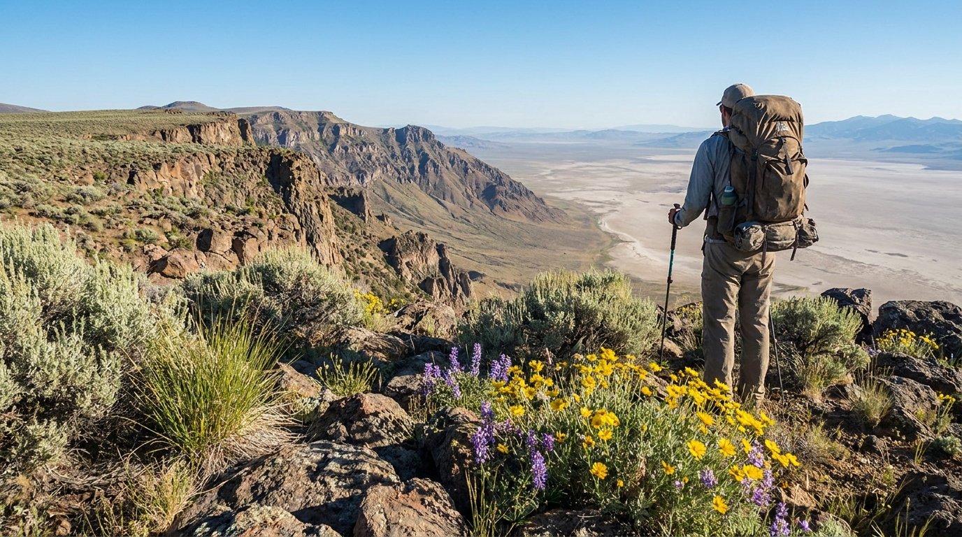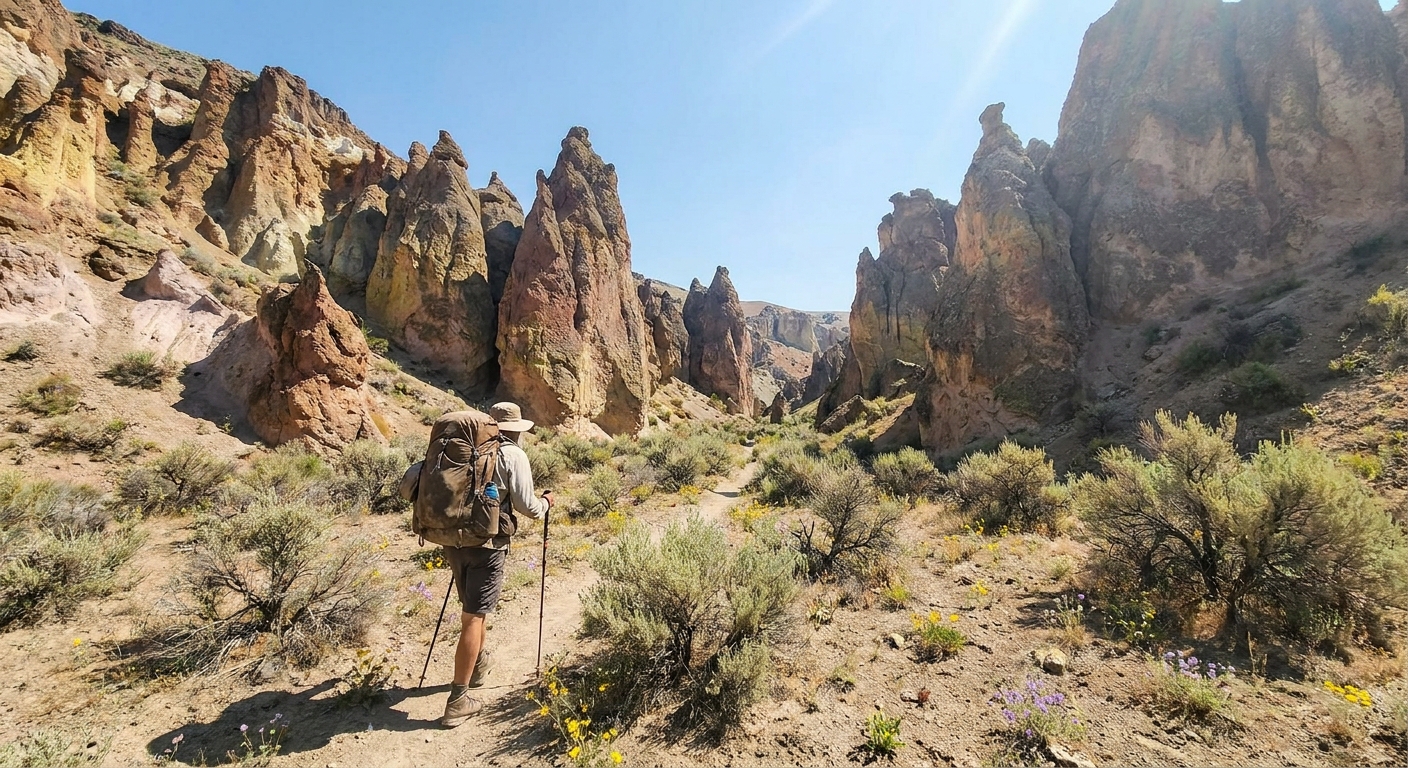
Leslie Gulch doesn't look like Oregon. Towering columns of rhyolite in shades of burgundy, orange, and cream rise several hundred feet above a dry canyon floor, punctuated by arches, fins, and weathered hoodoos that would look at home in southern Utah. It sits about 65 miles south of Vale in Malheur County, deep in the BLM-managed Owyhee Uplands, and it receives a fraction of the visitors that similar terrain in other western states draws. If you want dramatic desert scenery, solitude, and a backpacking experience that feels genuinely remote—this is it.
The Landscape
Leslie Gulch is a side canyon draining into Owyhee Reservoir, carved through the Mahogany Mountain Caldera—a 15.5-million-year-old volcanic complex that produced the ignimbrite and rhyolite tuff now sculpted by millions of years of erosion. The BLM Outstanding Natural Area encompasses about 10,000 acres of canyon, rimrock, and upland terrain. The main canyon road runs approximately 15 miles from Highway 95 to the Owyhee Reservoir boat launch, and several tributary gulches branch off the main drainage offering route-finding adventures on foot.
When to Go
Timing is critical at Leslie Gulch. This is true desert—summer temperatures routinely exceed 100°F in July and August, and there is essentially no shade in the main canyon. The optimal windows are:
- Late April to early June: Wildflowers bloom in the canyon, temperatures are moderate (60–85°F), and the light on the rhyolite columns in morning and evening is extraordinary. This is peak season.
- September to October: Temperatures drop back into a comfortable range. Rattlesnakes are still active but becoming less so. The slanted fall light is excellent for photography.
- Mid-June through August: Possible with early starts and full water capacity, but difficult. A 4-liter minimum water carry is essential, and you should plan to be back at your camp before 10 AM and not move again until after 5 PM.
Getting There
From Ontario, Oregon (the nearest services of any size), take Highway 201 south to Nyssa, then Highway 201 continues south to a right turn on Leslie Gulch Road, well-signed off Highway 95 about 15 miles south of Homedale. The road into the gulch is maintained gravel for the first few miles, then deteriorates. A high-clearance vehicle is strongly recommended; 4WD is not required in dry conditions but makes life easier after rain.
The nearest significant fuel and supplies are in Ontario or Caldwell, Idaho (just across the Snake River). Do not count on finding anything in Homedale beyond basic gas.
Camping
The BLM maintains a small primitive campground at the reservoir end of Leslie Gulch Road with vault toilets and a boat ramp. Dispersed camping is also permitted throughout the ONA, and that's where the real experience lives—setting up a tent among the rhyolite columns a mile up one of the tributary gulches, with no road noise and no neighbors. Pack out everything. This is a Leave No Trace area managed to BLM wilderness standards, and the remoteness means that trash accumulates without regular cleanup crews.
Backpacking Routes
There are no maintained trails in the Leslie Gulch ONA. This is both the appeal and the challenge. Route-finding is by canyon bottom, rimrock benches, and ridge lines. The terrain is genuinely complex—what looks like a passable gulch on Google Earth may dead-end in a 40-foot dryfalls or a cliff band. Carry the BLM 1:24,000 topo for Mahogany Mountain and the Owyhee topo sheets, or download them in OnX Hunt before you lose cell service (which happens immediately upon leaving Highway 95).
Suggested 2-Day Route
- Day 1: Park at the mid-canyon pullout near the main formations (approximately mile 7 of the access road). Hike up one of the tributary side canyons to the northeast—Juniper Gulch or the unnamed drainage immediately north of the main parking area. Both offer a mile or two of technical route-finding among the columns before opening onto the upper rimrock bench. Camp on the bench with 360-degree views of the canyon system below and the Owyhee Plateau beyond.
- Day 2: Traverse the rimrock heading southwest, drop back into the main Leslie Gulch canyon via a talus slope, and explore the lower canyon formations on the walk back to your vehicle. Allow 4–6 hours for the return depending on exploration time.
Total mileage: roughly 8–12 miles depending on your exact route and how much time you spend scrambling to elevated viewpoints.
Water
This is the single most important logistics consideration. Leslie Gulch has no reliable water sources during summer months. The main canyon drainage may hold isolated stock ponds or seeps in the lower sections in late spring, but these cannot be counted on. Plan your carry assuming zero available water—which means a minimum 4–6 liters per person per day in warm weather. For a 2-day trip, that's 10–12 liters minimum. Carry a filter or Aquatabs as a backup for any seep water you find, but do not plan your route around it.
Wildlife
Leslie Gulch supports a healthy population of California bighorn sheep—one of the southernmost native herds in Oregon. Sightings on the canyon walls are common, particularly in the upper tributary canyons in the early morning. Chukar partridge are abundant and often heard before they're seen. Mule deer use the canyon edges. Prairie rattlesnakes are present and active May through October—watch your footing on rock scrambles and never reach onto a ledge you can't see.
Leave It Better Than You Found It
The Owyhee Uplands are genuinely fragile in the way all true desert is fragile—cryptobiotic soil crust that takes decades to form is destroyed in a single footstep off hardened surfaces. Stay on rock and gravel wherever possible when traveling cross-country. The BLM's Vale District office manages this area and deserves a call before your first trip—they can provide updated conditions, any seasonal closures for bighorn lambing, and the most current map resources.
The Bottom Line
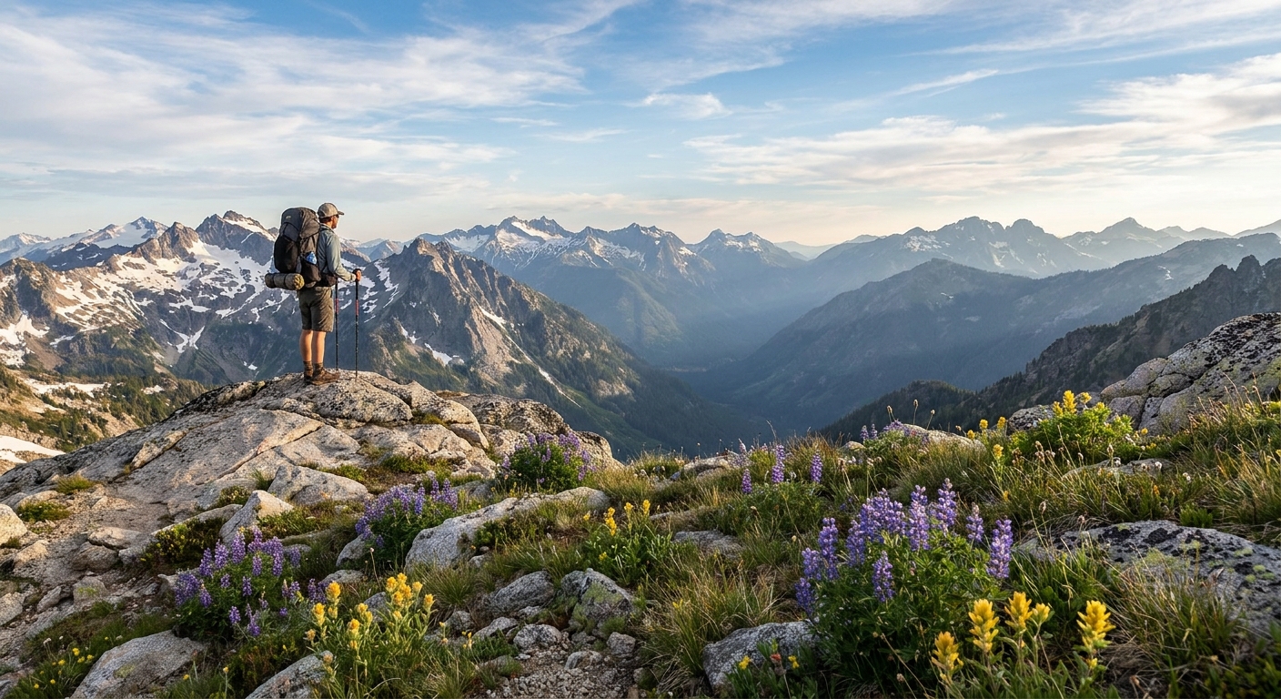
If you've done the three Sisters, the Eagle Cap, Crater Lake, and the Wallowas, and you're looking for something genuinely different—Leslie Gulch is it. The terrain is otherworldly, the solitude is real, and the remote southeastern Oregon location means you'll likely have the entire canyon to yourself. Just bring more water than you think you need, a solid topo, and the willingness to find your own way. That's the whole point.