If you want to camp in old-growth Douglas fir so big you can't get your arms around the base, hear nothing but the Middle Santiam River, and go an entire weekend without seeing another person—the Middle Santiam Wilderness is the trip. At just 7,500 acres, it's one of Oregon's smallest wilderness areas, and one of its most overlooked. That obscurity is the point.
The wilderness protects a stretch of the upper Middle Santiam River drainage in the western Cascades, about 90 minutes from Eugene and Salem. It's not dramatic terrain—no volcanic summits, no glacial lakes, no iconic vistas. What it has is dense ancient forest on volcanic substrate, a free-running wild river, and a trail system that rewards slow travel and quiet observation. This is summer backpacking for people who are done chasing crowds.
The Route: Middle Santiam Loop (approximately 16 miles, 2 days)
The most satisfying way to see the Middle Santiam Wilderness is a lollipop loop combining the Middle Santiam Trail with the Pyramids Trail and a riverside return. Total distance is roughly 16 miles with modest elevation gain—this is not a brutal high-country route, but it's also not flat. Expect rolling trail through old-growth timber, frequent creek crossings, and good riverside camp spots on night one.
Day 1: Trailhead to River Camp (8 miles)
Begin at the Middle Santiam Trailhead off Quartzville Road (Forest Road 11), roughly 30 miles east of Sweet Home on the Quartzville Corridor. This road is paved and accessible to all vehicles, though it narrows toward the trailhead. Parking is limited—arrive early on summer weekends.
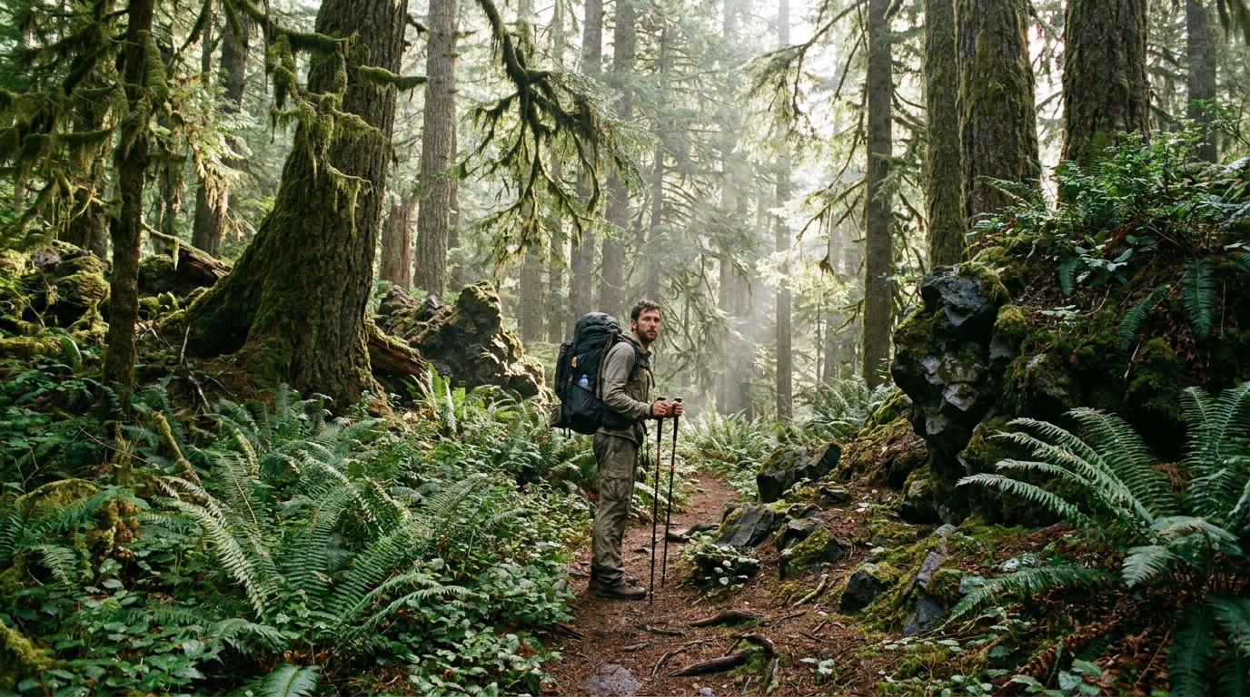
The first few miles climb through second-growth into old-growth Douglas fir and western red cedar. Pay attention to the transition—there's a moment when the canopy closes and the understory drops and suddenly you're in actual ancient forest. These trees are 400 to 600 years old. The ferns get enormous, the nurse logs become furniture-sized, and the light changes completely.
At roughly 5 miles, the trail intersects the Middle Santiam River drainage. Follow it downstream to find camp. There are several good flat sites on gravel bars and benches above the flood line. The Middle Santiam runs clear and cold in summer; water is abundant and easy to filter. Camp at roughly 8 miles in and make it an early night—the old-growth is worth exploring at first light.
Day 2: Pyramids Trail and Return (8 miles)
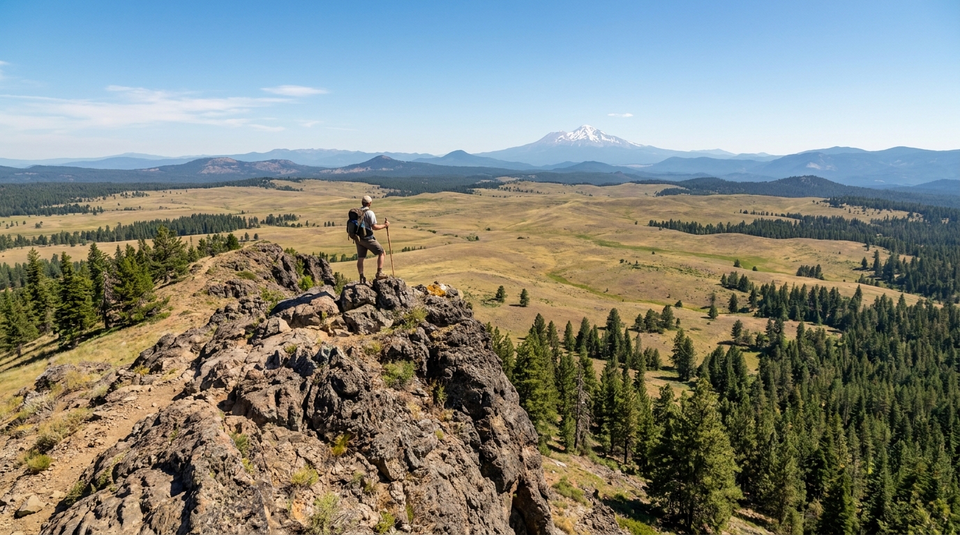
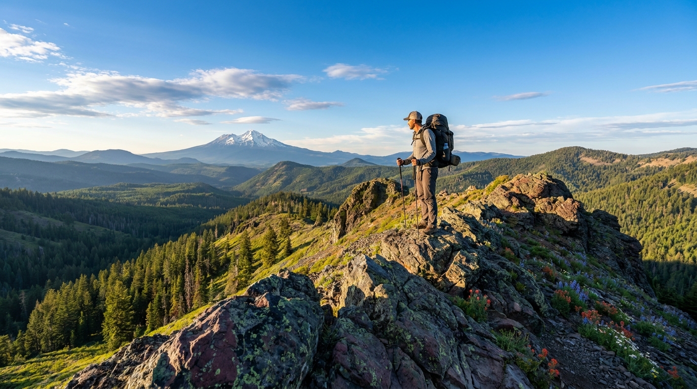
From camp, pick up the Pyramids Trail heading northwest. This section climbs above the river drainage through some of the densest old-growth in the wilderness. The Pyramids themselves are a series of lava rock outcroppings that poke above the forest canopy—not dramatic summits, but worth the short scramble for a view over the treetops. On a clear July day, you can see Three Sisters and Mount Jefferson from the high points.
The return leg drops back toward the river and follows it downstream before climbing back to the trailhead. Several creek crossings on this loop are logless in high water—check conditions if visiting in early July following a wet spring. By mid-July most crossings are ankle-deep or less.
What to Expect
The Middle Santiam Wilderness is managed as a primitive area. Trail maintenance is infrequent—blowdowns are common after winter, especially in the first mile from the trailhead. Bring a paper map (Green Trails or USFS) in addition to your phone. Cell service is nonexistent for the entire weekend.
Wildlife is abundant but seldom dramatic. Black bear sign is common throughout the wilderness—hang or canister your food without fail. Deer and elk use the area heavily; you're likely to see Roosevelt elk in the river drainage in early morning. The Middle Santiam holds native cutthroat trout—bring a rod if you're inclined. No special endorsement required for wild trout on this river.
Mosquitoes are a legitimate issue in July. The old-growth keeps moisture, and standing water is everywhere. Bring head net, long sleeves, and permethrin-treated clothing. It's worth it.
Permits and Regulations
No wilderness permit is currently required for the Middle Santiam Wilderness. A Northwest Forest Pass or America the Beautiful Pass is required for trailhead parking. Campfires are permitted below 5,000 feet when forest conditions allow, but pack a stove—this is old-growth, and fire scars last centuries. Leave No Trace principles apply throughout; pack out everything, bury human waste 6 inches deep at least 200 feet from water.
When to Go
July through September is the ideal window. The Quartzville Road is typically snow-free by mid-June, but the trail may have lingering wet sections and high creek crossings until early July. August is peak season—warm, dry, and the river drops to its clearest. Early September is arguably the best time: crowds (such as they are) thin, temperatures moderate, and the first hints of fall color appear in the vine maple understory.
Getting There
From Sweet Home, take US-20 east approximately 3 miles, then turn left (north) onto Quartzville Road. Follow Quartzville Road east approximately 27 miles to the Middle Santiam Trailhead. The road transitions to gravel in its upper reaches but is suitable for standard vehicles. High-clearance is not required in summer conditions.
From Eugene or Salem, the drive is approximately 90 minutes. From Portland, plan on 2.5 hours. There is no cell service on Quartzville Road beyond Sweet Home—download your maps before you leave town.
Why This Wilderness Matters
The Middle Santiam Wilderness protects one of the last intact old-growth Douglas fir drainages in the western Cascades outside of designated national parks. The trees here survived the twentieth century's timber rush by a combination of terrain, inaccessibility, and the 1984 Oregon Wilderness Act. Walking through it in summer, with the river noise and the massive trees and the absolute absence of crowds, gives you a clear sense of what the western Cascades looked like before chainsaws. That's worth protecting—and worth the drive.