The Oregon Desert Trail: America's Most Remote Long Trail
Most hikers have heard of the Pacific Crest Trail. Far fewer know about the Oregon Desert Trail — a 750-mile route across the high desert of southeastern Oregon that passes through some of the most remote, biologically rich, and starkly beautiful landscape in North America. Established by the Oregon Natural Desert Association (ONDA), the ODT crosses the Hart Mountain National Antelope Refuge and the Steens Mountain Cooperative Management and Protection Area in a section that represents the trail's most dramatic and varied terrain. This guide focuses on a multi-day section hike through this southern stretch — a demanding, rewarding route that will challenge even experienced backpackers.
About the Hart Mountain to Steens Section
The Hart Mountain to Steens section of the ODT covers roughly 80–100 miles depending on your exact route variations, connecting the Hart Mountain National Antelope Refuge with the Steens Mountain Cooperative Management and Protection Area via BLM high desert, remote ranch roads (traveled on foot), and rugged volcanic terrain. This is not a maintained trail in the conventional sense. Much of the route follows established jeep tracks, cross-country travel corridors, dry creek beds, and ridgelines. Navigation skill is required.
Plan for 7–10 days for this section at a comfortable pace. Experienced desert hikers moving efficiently can complete it in 5–7 days, but the distances between reliable water sources demand careful planning that sometimes means slower mileage days.
Best Time to Go
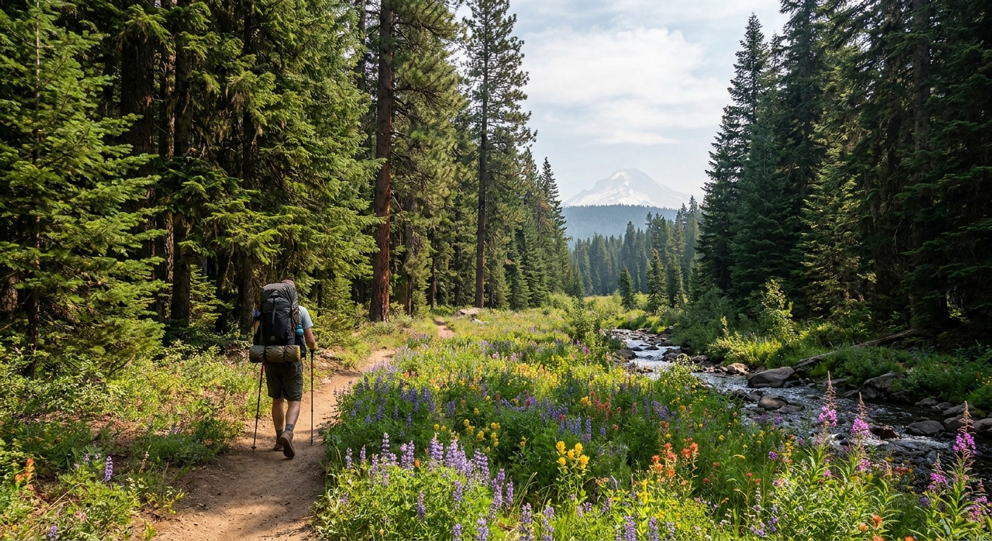
June is arguably the sweet spot for this section. Snow has cleared from Hart Mountain (elevation 8,065 ft at its summit ridge) and Steens Mountain (9,738 ft at the rim), wildflowers are at or near peak, and the extreme heat of July and August hasn't arrived yet. Pronghorn fawning season is underway on Hart Mountain, providing spectacular wildlife viewing. Afternoon thunderstorms are possible in June but typically brief.
Late April through May is also viable but expect mud and possible snow above 7,000 ft. September and October offer stable weather and good wildlife activity but can see early winter storms by late October.
Permits, Regulations, and Land Status
The ODT crosses a patchwork of BLM-managed land, USFWS-managed refuge land (Hart Mountain National Antelope Refuge), and private property. Key notes:
- Hart Mountain National Antelope Refuge: No permit required for hiking or camping. Camping is allowed throughout the refuge except in posted sensitive habitat areas. Campfires are restricted — check current fire conditions before you go.
- Steens Mountain: The summit area is a Cooperative Management and Protection Area. No permit required. Camping along the Steens is generally dispersed BLM camping — practice Leave No Trace.
- Private land: The ODT route has been developed with landowner cooperation in some sections, but always verify the current route via ONDA's official maps before hiking. Do not assume access.
Register your trip with someone reliable who knows your itinerary. Cell coverage is functionally zero through most of this route. A satellite communicator (Garmin inReach, SPOT, or Zoleo) is not optional — it is essential safety equipment.
Water Planning: The Critical Skill
Water is the central planning challenge on the Oregon Desert Trail. Sources range from reliable spring-fed streams to seasonal seeps that may be dry or severely reduced by June. Do not plan this route without current water reports from ONDA (onda.org) or recent trip reports on the Oregon Desert Trail Facebook group.
Reliable water sources in the Hart Mountain to Steens section (verify before each trip):
- Warner Valley wetlands: Summer Lake, Adel area — good water at the route's western approach.
- Hart Mountain Hot Springs: A tent-camping area with a natural hot spring — reliable water and an outstanding morale boost mid-trip.
- Rock Creek (Hart Mountain): Reliable through early summer.
- Wildhorse Lake (Steens Mountain): A high-altitude glacial cirque lake — reliable and stunning. Treat all water.
- Blitzen River corridor: The Donner und Blitzen Wild and Scenic River provides reliable water through the Steens approach.
Carry capacity for at least 4–5 liters, and plan to carry a full load between uncertain sources. A Sawyer Squeeze or BeFree filter works well in desert conditions where water may be silty.
Route Highlights
Hart Mountain National Antelope Refuge
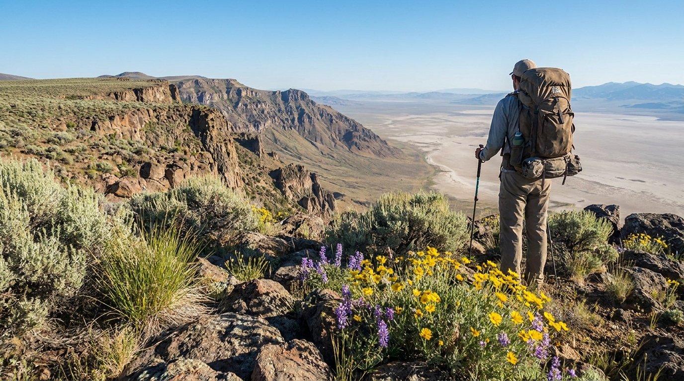
The refuge is home to Oregon's largest pronghorn population, along with California bighorn sheep, greater sage-grouse, and raptors that read like a raptor watcher's checklist. The Warner Wetlands — a series of shallow lakes along the fault-bounded Warner Valley — host shorebirds, waterfowl, and wading birds in spectacular numbers in early summer. Hiking the refuge rim above the wetlands offers views that rival anything in the American West.
The Hot Spring Overnight
Hart Mountain Hot Springs is a USFWS-maintained primitive campground centered on a concrete soaking pool fed by a natural hot spring. The water runs around 100°F year-round. After three or four days of desert hiking, dropping into that pool under a sky full of stars is one of the finer outdoor experiences Oregon offers. No fee, no reservations, first-come first-served.
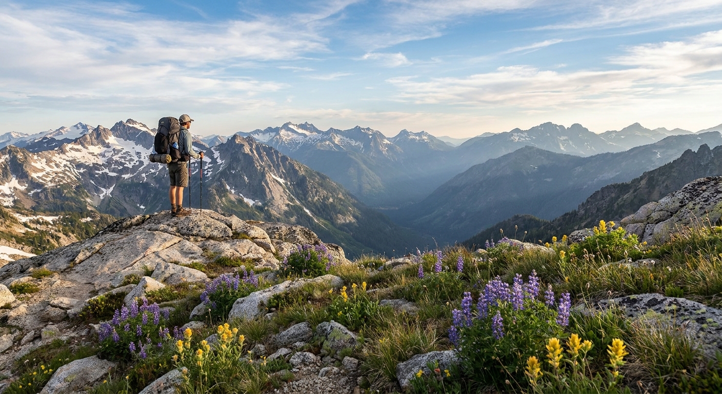
Steens Mountain Rim
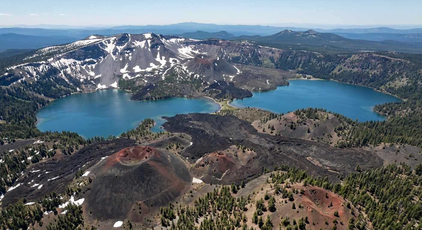
The Steens Mountain escarpment is one of the most dramatic landforms in Oregon — a fault-block mountain that rises nearly a vertical mile above the Alvord Desert to the east in roughly 15 miles. The east rim at 9,738 ft offers views of the Alvord Playa, the Trout Creek Mountains in Nevada, and on clear days, distant peaks in Idaho. The glacially carved gorges — Kiger, Blitzen, Little Blitzen — are as rugged as the Cascades and far less visited.
Essential Gear Considerations
- Navigation: Gaia GPS or CalTopo with ODT maps downloaded offline. A paper backup map is strongly recommended. Compass. Know how to use them.
- Satellite communicator: Non-negotiable. Garmin inReach Mini 2 is the standard choice.
- Sun protection: Hat with full brim, sun hoody, SPF 50+ sunscreen. High desert sun is relentless and burns happen faster than you expect.
- Wind shell: The Steens rim is exposed and can be brutally windy even in summer. A lightweight windshell weighs almost nothing and earns its place every trip.
- Gaiters: Low gaiters keep sagebrush debris and dust out of your shoes/boots on cross-country desert travel.
- Snake awareness: Western rattlesnakes are common below 6,000 ft in June. Watch where you step, especially around rock outcrops and brushy areas.
Resupply Options
Resupply logistics on this section require advance planning. Options include:
- Lakeview, OR: Closest full-service town at the western end of the section. Hardware, grocery, fuel, lodging.
- Frenchglen, OR: Tiny community at the base of Steens Mountain with the legendary Frenchglen Hotel (call ahead for reservations — rooms fill up). Limited supplies available.
- Fields, OR: A dot on the map with a general store/cafe that serves some of the best milkshakes in eastern Oregon. Cache a resupply box here if your route passes through.
- Mail drop: Some hikers mail supply boxes to the Hart Mountain Refuge headquarters or the Frenchglen Hotel. Call ahead and confirm current policy.
Final Thoughts
The Hart Mountain to Steens section of the Oregon Desert Trail is not a weekend trip, and it's not for beginners. But for the experienced backpacker looking for genuine solitude, wildlife in abundance, landscapes that feel untouched, and the particular satisfaction of moving through a landscape on its own terms rather than a manicured trail — this section of the ODT delivers everything that makes desert hiking its own distinct and compelling discipline. Do your research, plan your water, tell someone where you're going, and go.