Most Mount Hood backpackers head west — to the Timberline Trail, the PCT, the Mirror Lake basin. Badger Creek Wilderness lies on the eastern flank of the mountain, tucked in the rain shadow where the forest transitions from Cascades fir and hemlock to drier ponderosa pine and mixed conifer. Fewer people know it exists. That oversight is very much to your advantage.
The Badger Creek Wilderness encompasses roughly 24,000 acres of the Mount Hood National Forest east of the Cascade crest. It's close enough to Portland and the Gorge to make a weekend trip practical, but remote enough that summer weekends don't look like a parade. If you want solitude, early summer wildflowers, old-growth forest, and a legitimate alpine experience without the crowds, this is your destination.
The Route: Flag Point to Badger Creek
The most satisfying 2-day loop uses the Flag Point Lookout area as a staging point and drops into the Badger Creek drainage via the Gumjuwac Saddle Trail. Here's the basic layout:
- Trailhead: Flag Point Road (FR 4410), off Highway 35 near Dufur. Requires a Northwest Forest Pass or America the Beautiful Pass for parking.
- Day 1: Hike Gumjuwac Saddle Trail (Trail #480) from Flag Point area, descend into the upper Badger Creek drainage (~5.5 miles), camp near the creek at a designated dispersed site. Elevation gain is modest — you're dropping into the drainage, not climbing out of it.
- Day 2: Follow Badger Creek Trail (#479) downstream to the lower trailhead, then return via connecting trails or a short road walk. Alternatively, reverse your route for the same gain/loss profile and exit where you started.
Total loop mileage varies by which connecting trails you use, but plan for 12–16 miles over two days — very manageable with a loaded pack and well within reach for backpackers of moderate fitness.
What to Expect on the Trail
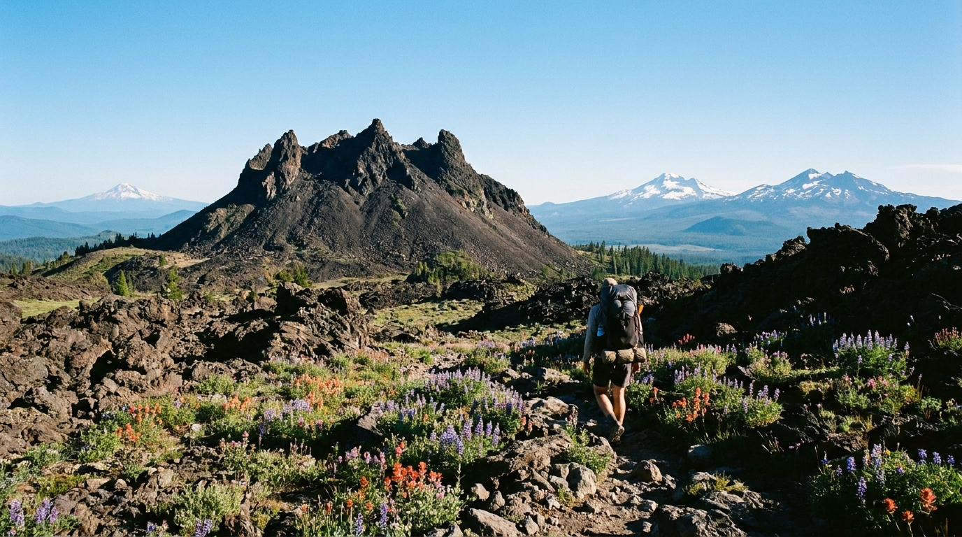
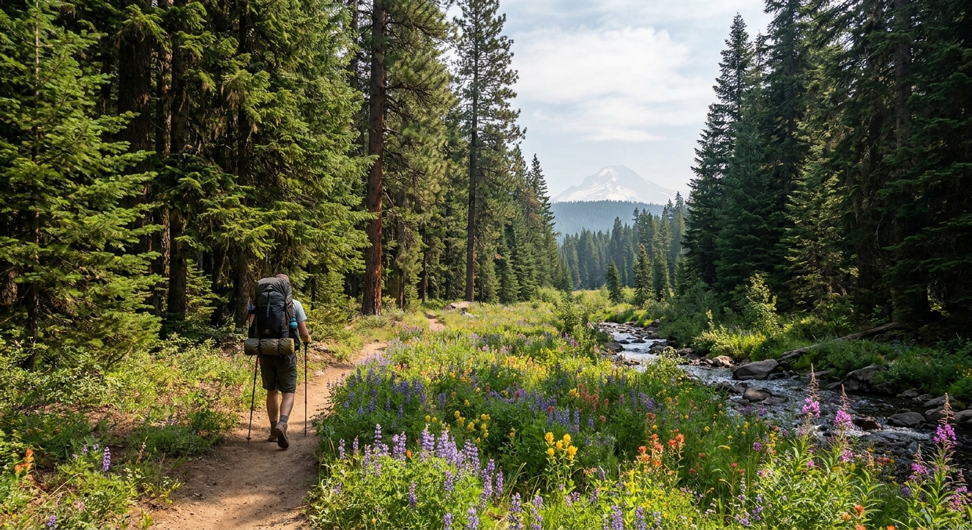
The upper wilderness is high and open — scattered ponderosa, patches of subalpine meadow, and long sight lines east toward the Gorge and Central Oregon plateau. In late June and early July, the meadow sections carry paintbrush, lupine, and balsamroot in full bloom. Views of Mount Hood's eastern face appear through breaks in the timber, and on a clear morning you can see north to Mount Adams and south toward the Sisters.
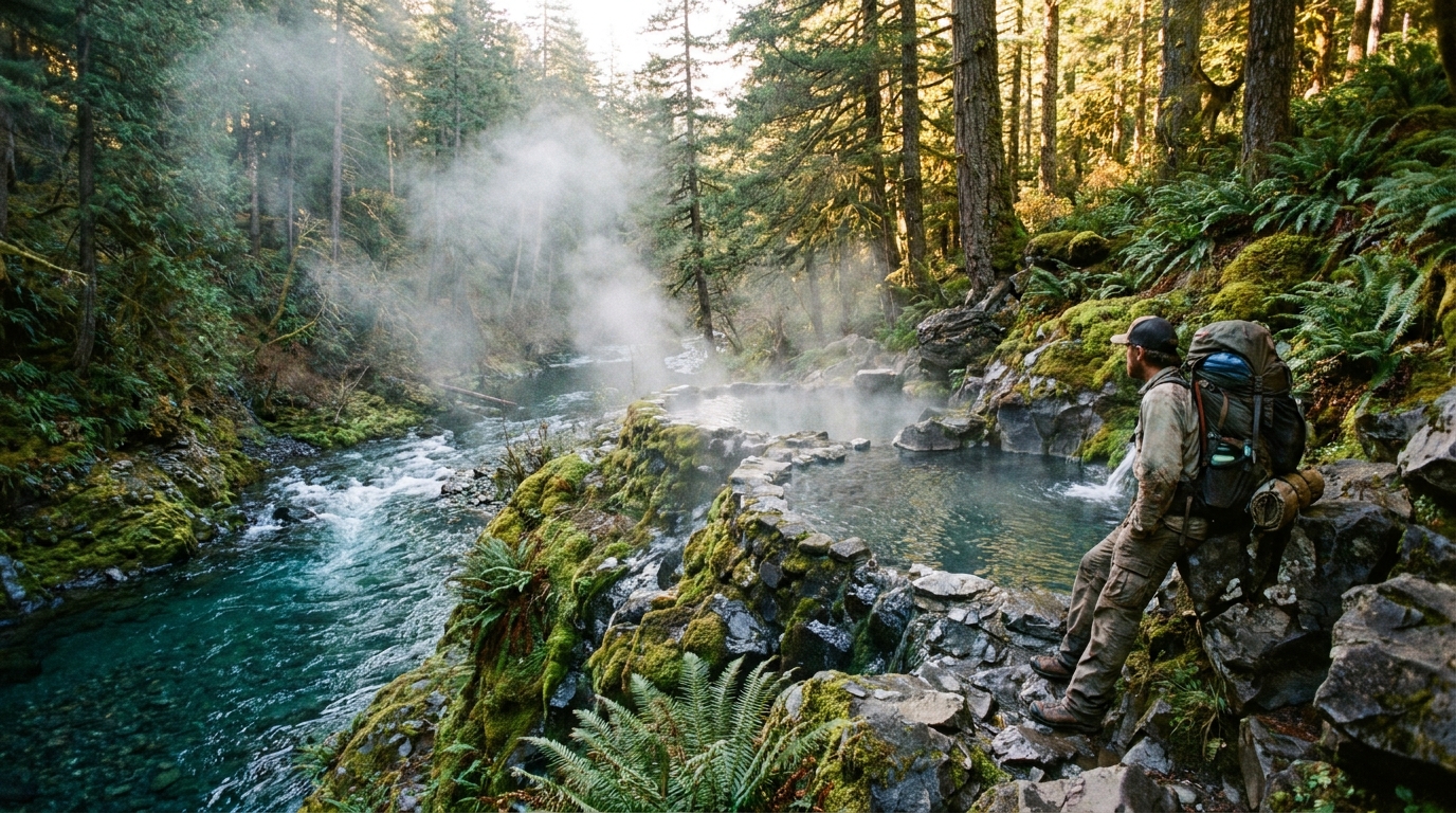
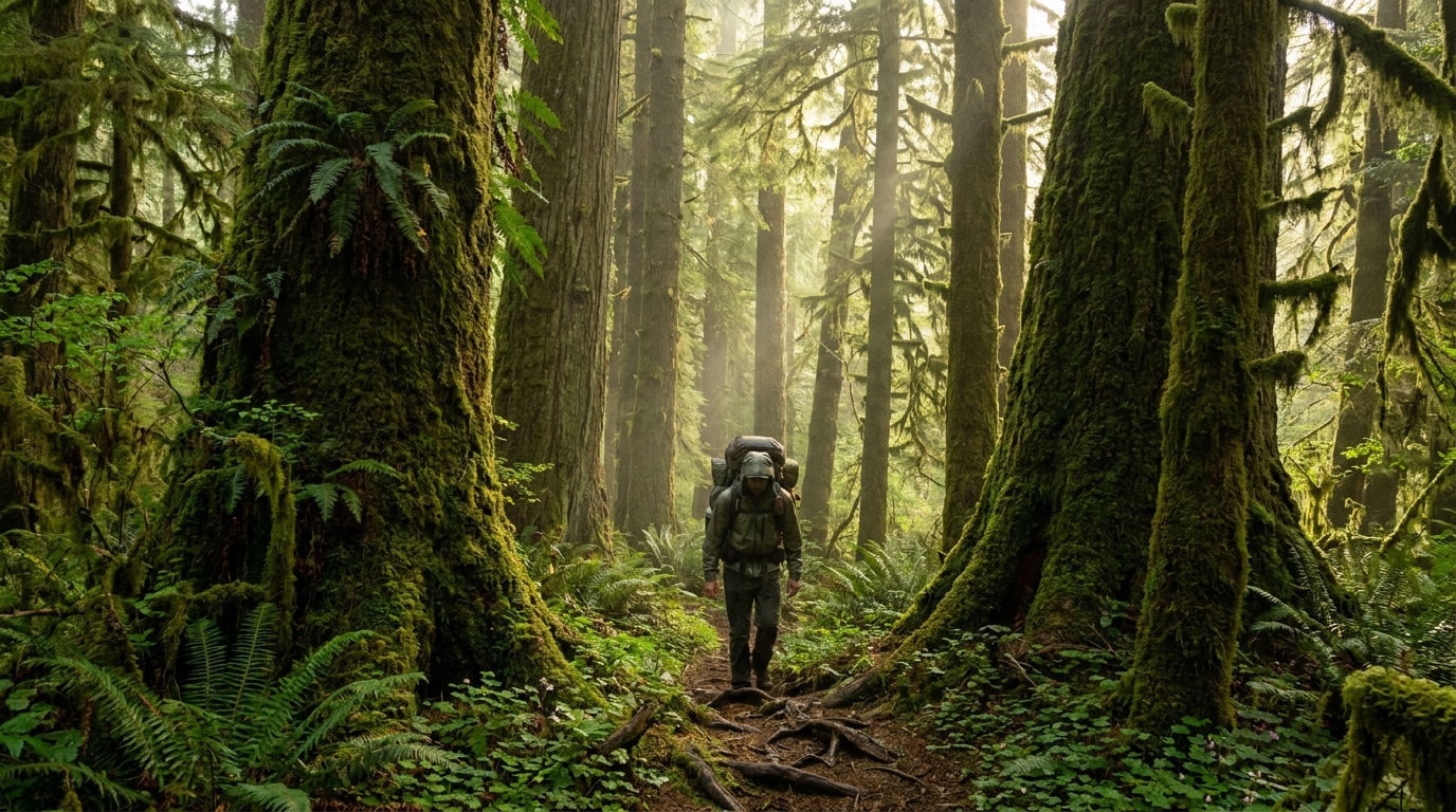
Drop into the Badger Creek drainage and the character shifts. Old-growth Douglas fir and western red cedar crowd the creek corridor, the trail narrows, and the stream runs cold and clear over a rocky bed. This section is excellent fishing — wild cutthroat trout in the upper reaches, some small rainbow lower down. A 3-weight fly rod or ultralight spinning setup breaks down small enough to carry without regret.
Water is available throughout the route from creek sources, but filter everything — this is an active cattle grazing area in portions of the surrounding national forest, and you don't want to learn that the hard way.
Camping
Dispersed camping is permitted throughout the wilderness following Leave No Trace principles. The Badger Creek corridor has established flat spots near the water that see occasional use — you'll generally have your pick on weeknights and shoulder-season weekends. Camp at least 200 feet from the creek, follow fire regulations (check current restrictions before you go — east-side Cascades can be under fire restrictions from late July onward), and hang or canister your food. Black bears are present in the wilderness.
There are no pit toilets in the backcountry here. Pack out your waste if you're in a high-use corridor, or bury catholes at least 200 feet from water and camp.
Timing and Conditions
The east side of the Cascades dries out faster than the west, which means Badger Creek Wilderness is often accessible 2–3 weeks earlier in the spring than comparable destinations on the west side of Hood. Snow clears from the upper routes by mid-May in most years. That early access window — late May into June — is the sweet spot: the wildflowers are peak, the creeks are running full, temperatures are mild, and the bugs haven't fully woken up yet.
By mid-August, it's dry and hot by mid-day. Not a bad trip, but a different one. September brings cooling temps, minimal crowds, and the first hints of fall color in the vine maple — a strong case for an early autumn visit.
What to Pack
- Northwest Forest Pass or America the Beautiful Pass
- MVUM or printed topo for Badger Creek Wilderness (cell coverage is unreliable)
- Water filter (mandatory)
- Bear hang or canister
- Layers — east Cascade mornings run cold even in July, 30s–40s at upper elevation campsites
- Fire permit if planning a campfire (check current restrictions)
- Trekking poles for the creek crossings — logs can be slick in early season
Getting There
From Portland, take I-84 east to Hood River, cross the Bridge of the Gods (toll), or take Highway 35 south from Hood River through the Gorge corridor. The Flag Point Road turnoff is approximately 20 miles south of the Hood River Bridge on Highway 35. The gravel approach road is passable by most 2WD vehicles in dry conditions but can be muddy and rutted after spring precipitation — call the Hood River Ranger District (541-352-6002) for current road conditions before your trip.
Badger Creek doesn't ask for much: a weekend, a pack, and a willingness to explore beyond the obvious. Go find it before it ends up on everyone's list.