If you mention Gearhart Mountain to most Oregon backpackers, you'll get a blank stare. That's exactly the point. While Eagle Cap draws crowds from across the Northwest and the Three Sisters Wilderness fills up on summer weekends, Gearhart Mountain Wilderness in Lake County's Fremont National Forest remains genuinely uncrowded — a place where solitude is still the default, not the exception.
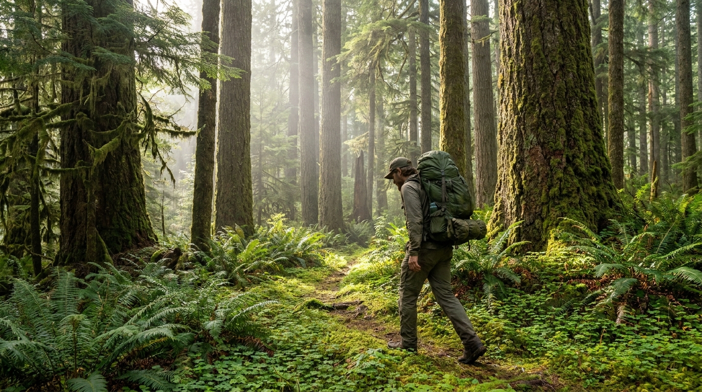
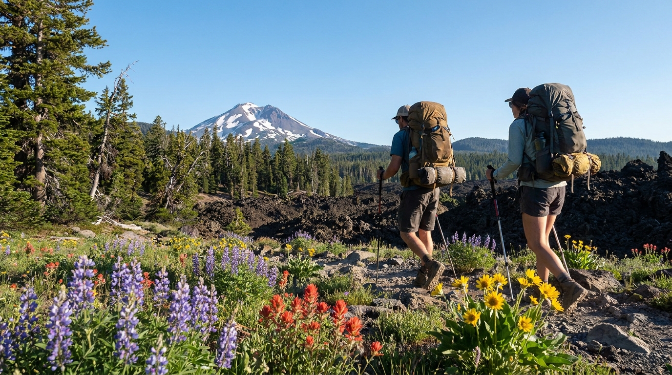
The wilderness encompasses roughly 22,800 acres in the southern Oregon highlands between Paisley and Bly, anchored by the 8,364-foot summit of Gearhart Mountain itself. The terrain is a mix of ponderosa pine forest, open lava fields, volcanic rim country, and high meadows — Southern Oregon's high country has a character entirely different from the glaciated Cascades to the north, and the wildlife reflects it.
The Route: Palisade Rocks Loop
The best introduction to Gearhart Mountain is the Palisade Rocks Loop — a 12-mile route that takes in the wilderness's signature geological features, a summit approach, and enough elevation change to feel like real mountain hiking without requiring technical skills.
Trailhead Access
The primary trailhead is at the Corral Creek Campground, reached via Forest Road 28 from the small town of Bly (about 35 miles north of Klamath Falls on Highway 140, then north on FS-28). The roads are gravel but typically passable for standard passenger vehicles from late June through October. Check with the Fremont-Winema National Forest Bly Ranger District before your trip for road and snow conditions — Gearhart can hold snow well into June in heavy winter years.
Day 1: Corral Creek to Palisade Rocks (5 miles)
The trail climbs steadily through open ponderosa pine forest before emerging onto the volcanic rim country that defines the wilderness's western edge. The Palisade Rocks — a series of dramatic rhyolite cliffs rising from the forest — are the visual centerpiece of the wilderness and a worthy camp location. Water is available at Palisade Spring below the rocks. Camp is at approximately 7,400 feet; expect cool nights even in July.
Day 2: Palisade Rocks to Gearhart Mountain Summit and Beyond (4 miles)
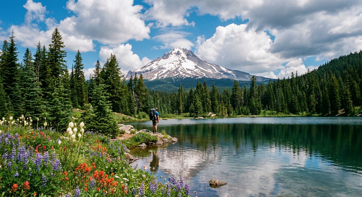
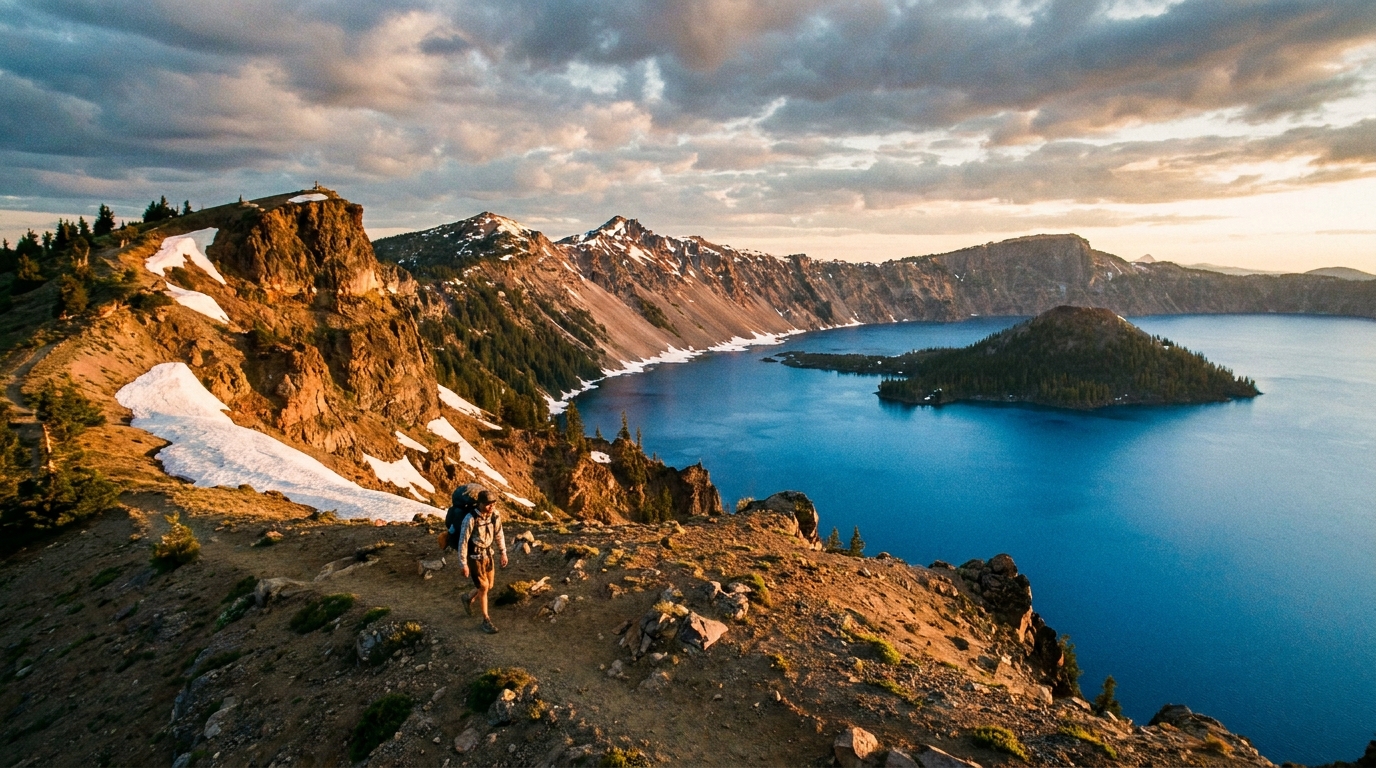
From Palisade Rocks, the route climbs toward the Gearhart Mountain summit via the Gearhart Trail. The summit at 8,364 feet offers 360-degree views — on a clear day you can see Mount Shasta to the south, Crater Lake's volcanic remnants to the west, and the Warner Mountains beyond the high desert to the east. It is one of the finest summit panoramas in southern Oregon.
After tagging the summit, descend east toward the Blue Lake area. Blue Lake is a shallow but scenic alpine lake in a glacially-carved bowl — technically a remnant volcanic feature — with reasonable fishing for small brookies. Make camp here for Night 2.
Day 3: Blue Lake Back to Corral Creek (3 miles)
The return route drops through open lodgepole pine flats and crosses several seasonal streams before closing the loop at Corral Creek. This final day is easy walking and a good morning to glass for mule deer and pronghorn on the open meadows north of the trail.
Wildlife
Gearhart Mountain Wilderness is quiet country with good wildlife density. Rocky Mountain elk use the wilderness seasonally, moving between the ponderosa forests and the high meadows. Mule deer are common throughout. Black bears move through the area, particularly in late summer when the high-country berry crop peaks — standard bear camp hygiene applies.
Pronghorn antelope are visible from the trailhead area and on the forest fringe — they don't penetrate dense timber but the open country on approach to the wilderness is excellent antelope habitat. Raptors, including red-tailed hawks, golden eagles, and occasionally prairie falcons, work the rim country.
Fishing
Blue Lake holds wild brook trout that can be taken on dry flies and small spinners. The fish are not large — typically 6-9 inches — but in a wilderness setting at 7,000+ feet, a campfire-cooked brookie is its own reward. Standard ODFW license applies; check current regulations for the specific water body before fishing.
Water Sources
Palisade Spring near the Palisade Rocks is reliable through summer. Blue Lake is a consistent water source. Seasonal creeks along the return route may run low or dry by late August. Filter or treat all water — even in a remote wilderness, livestock grazing occurs in adjacent lands and giardia is a real risk.
Permit and Regulations
No permit is required to camp in Gearhart Mountain Wilderness. Campfires are allowed subject to current fire restrictions — and be aware that Lake County frequently goes under Stage 1 or Stage 2 fire restrictions by mid-July in dry years. Bring a stove and treat fire restrictions seriously. The Forest Service contact for the area is the Fremont-Winema National Forest, Bly Ranger District: (541) 353-2427.
When to Go
Late June through mid-October is the reliable window. Snow usually clears the upper routes by late June, though recent heavy-snowpack years can push that window back. The wildflower peak in the high meadows runs from late June through mid-July and is not to be missed. September offers stable weather, turning aspen in the riparian drainages, and early elk bugling on the edges of the wilderness.
What Makes It Worth the Drive
Gearhart Mountain is five or more hours from Portland and four hours from Bend. That drive filters out most of the weekend crowd. The wilderness you find at the end of it has a spare, high-desert quality that the volcanic Cascades don't offer — open sky, volcanic rock, ponderosa pine, and the feeling that you might be one of a handful of people standing on that summit on any given July day. In the context of Oregon's increasingly crowded outdoor recreation landscape, that alone makes it worth the gas money.