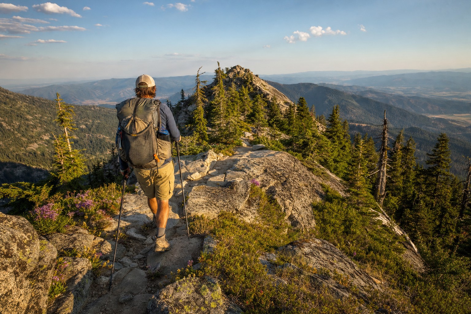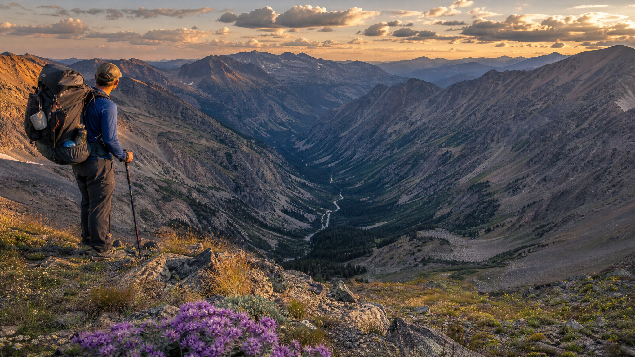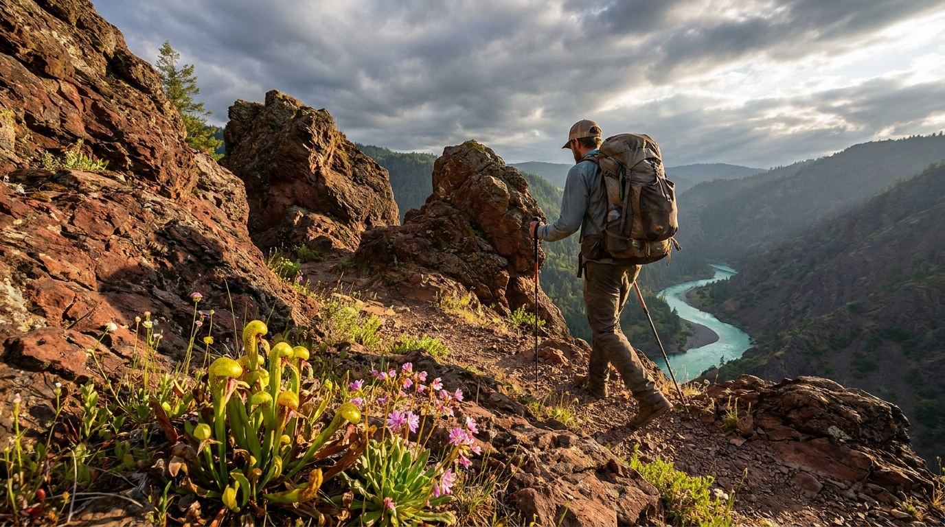
The Kalmiopsis Wilderness doesn't get much press. It's not on the cover of Oregon hiking magazines. There's no signature Instagram viewpoint, no popular through-trail, no shuttle-friendly car-to-car route that fills up on weekends. What it has is something rarer: genuine remoteness, a geology unlike anything else in North America, wildflowers that grow nowhere else on Earth, and trail conditions that require real navigation skill and honest physical capability. For backpackers who've worked through the popular Oregon routes and want something harder and wilder, the Kalmiopsis is the answer.
The Geology Behind the Magic
The Kalmiopsis Wilderness sits in the heart of the Klamath Mountains in Curry County, southwestern Oregon. The underlying geology is predominantly serpentinite — ultramafic rock that weathers into soils with high magnesium and nickel content, low calcium, and typically low nutrient availability. Most plants can't survive on serpentine soils. The ones that can have evolved specialized adaptations over millions of years, and the result is a botanical hotspot of global significance.
The namesake plant — Kalmiopsis leachiana, a low-growing rhododendron relative — was discovered here in the 1930s and grows naturally only in this region. It shares the terrain with Port Orford cedar, Brewer's weeping spruce, insectivorous sundews, and dozens of other rare and endemic species. The Klamath Mountains as a whole are recognized as a global biodiversity hotspot rivaling tropical ecosystems in terms of endemic plant species density.
Wilderness Overview
- Size: 179,855 acres — one of the largest wilderness areas in Oregon
- Elevation range: 400 feet (Chetco River canyon) to 5,098 feet (Pearsoll Peak)
- Managing agency: Siskiyou National Forest (now part of Rogue River-Siskiyou NF)
- Nearest towns: Brookings (west access), Cave Junction (north access), Gold Beach (northwest)
- Permits: No permit currently required for overnight camping; campfire restrictions vary — check current fire restrictions before your trip
Access Routes
Access to the Kalmiopsis is genuinely difficult, and that's part of the point. Roads are steep, narrow, and often unpaved. High-clearance 4WD is strongly recommended for most trailhead access routes.
Chetco River Trailhead (East Access — most popular)
Drive from Brookings via County Road 784 (Chetco River Road) east to the end of paved road, then continue on Forest Road 1376 to the Chetco Divide Trailhead (roughly 35 miles from Brookings). The road is rough but manageable in a high-clearance vehicle in good conditions. This is the primary access point for the Chetco River Trail, the best introduction to the wilderness interior.
Illinois River Trailhead (North Access)
From Cave Junction, take US-199 south and turn onto County Road 5240 toward Eight Dollar Mountain, then follow Forest Service roads to the Illinois River Trailhead near Briggs Creek. The Illinois River Trail runs south into the wilderness from here — a spectacular canyon route with significant river-crossing challenges in high water.
Vulcan Lake Trailhead (Northwest Access)
This short trail (1.5 miles one way) leads to Vulcan Lake, a small alpine lake in the heart of serpentine habitat. From Brookings, take North Bank Road (County Road 784) then turn on Forest Road 1909. The trailhead is the quickest way to reach true Kalmiopsis botanical habitat for a day hike or short overnight — good option for a first introduction to the terrain.
A 3-Day Chetco River Route
For backpackers looking for a genuine multi-day experience, the Chetco River Trail system offers the best combination of access and wilderness immersion.
Day 1: Chetco Divide TH to Mislatnah Creek (9–11 miles)
From the Chetco Divide Trailhead, descend the Chetco River Trail through old-growth Port Orford cedar, Douglas-fir, and tanoak. The trail drops steeply to the Chetco River canyon, following the river upstream through serpentine meadows and boulder gardens. Camp near Mislatnah Creek where a flat bench above the river allows tent sites away from the flood zone. Water is abundant — treat all sources.
Day 2: Mislatnah Creek to Upper Chetco Basin (6–8 miles)
This is the botanical heart of the trip. The upper Chetco River corridor passes through extensive serpentine barrens and chaparral — pitcher plants (Darlingtonia californica), Kalmiopsis leachiana in bloom (peak: May–June), Brewer's spruce, and Jeffrey pine growing in seemingly impossible conditions on rocky outcrops. The terrain becomes more open and the views expand dramatically. Camp in the upper basin where the river flattens into meadowed braids.
Day 3: Return via Vulcan Ridge (8–10 miles)
A loop return via the ridgeline offers different terrain and panoramic views of the Chetco canyon and surrounding wilderness. The route climbs steeply from the upper basin to the ridge, then traverses open serpentine terrain before descending back to the trailhead. Navigation skills required — trail marking is minimal in places.
Trail Conditions and Navigation Challenges
This is not the Three Sisters or Eagle Cap. The Kalmiopsis is genuinely difficult wilderness:
- Trails are primitive: Many are unmaintained. Blowdown, brushy overgrowth, and lost tread are common. Bring a printed USGS topo map (the 7.5-minute series) AND a downloaded offline map (CalTopo or Gaia GPS).
- River crossings: The Chetco and Illinois Rivers have crossings that are dangerous or impossible in high water. Spring trips require research on current water levels. Late summer (August–September) is the safest time for crossings.
- Rattlesnakes: The warm, rocky serpentine terrain is prime habitat. Watch your step and where you put your hands.
- Water: Abundant from river and creek sources throughout most routes; filter all water
- Cell service: None. A satellite communicator (Garmin inReach or SPOT) is strongly recommended.
Best Time to Visit
- May–June: Peak wildflower bloom including Kalmiopsis leachiana; some river crossings may be high
- Late June–July: River crossings manageable; weather warming; good balance of flowers and passable trails
- August–September: Lowest water, safest crossings, hot and dry; fire restrictions likely in effect — no campfires in most of the wilderness
- October: Cooling temperatures, potential early storms; beautiful fall color in canyon; best avoided after mid-October
Bear Canisters and Food Storage
Black bears are present throughout the Kalmiopsis. A bear canister (BV500, Bearikade, or similar) is the recommended food storage method. There are no bear boxes at campsites. The Ursack Major is a permitted alternative. Hang systems are impractical given the terrain and available tree structure in much of the serpentine zone.
Leave It Wild
The Kalmiopsis is fragile in ways that most wilderness areas are not. Kalmiopsis leachiana and other rare serpentine endemics grow slowly and recover poorly from trampling. Camp on durable surfaces — rock and already-impacted sites. Stay on established trail where trail exists. Don't pick or disturb rare plants. This place is irreplaceable — treat it accordingly.
One Last Word
The 2002 Biscuit Fire burned roughly 90% of the Kalmiopsis Wilderness, and the landscape still bears the marks — standing snags, regenerating brush, and in some areas almost no canopy. It makes the wilderness look bleak on satellite imagery. On the ground, in the serpentine meadows blooming with endemic wildflowers among silver snags, it looks like nothing else you'll find in Oregon. Don't let the fire history put you off. Go.