Drive east from Bend on US-26, past Prineville, and turn south into the Ochoco National Forest. The crowds thin immediately. By the time you reach the trailhead at Ochoco Divide, you have left the Three Sisters pilgrimage behind entirely. The Lookout Mountain area — a forested plateau rising to 6,926 feet — is the crown of the Ochocos, and it is one of the most satisfying and undervisited backpacking destinations in Central Oregon.
The Route at a Glance
The standard Lookout Mountain Loop covers approximately 19 miles and is typically done as a two-night backpacking trip. The loop can be run in either direction; clockwise (starting south on the Lookout Mountain Trail) gives you the summit climb early and a more gradual return. The route combines the Lookout Mountain Trail, the Wiley Creek Trail, and connector paths through ponderosa pine, western larch, and open ridge meadows.
- Total distance: ~19 miles (full loop)
- Elevation gain: Approximately 2,800 feet cumulative
- High point: Lookout Mountain summit, 6,926 ft
- Difficulty: Moderate
- Best season: Late May through October (snowpack lingers on the summit ridge into June)
Getting to the Trailhead
From Prineville, take US-26 east approximately 16 miles to the Ochoco Divide. The primary access point for the loop is the Ochoco Divide Trailhead on the south side of the highway — well-signed with a gravel parking area and a vault toilet. An America the Beautiful pass or Northwest Forest Pass is required for day use; backpackers should check current permit requirements with the Ochoco National Forest Prineville Ranger District.
Cell service dies quickly after leaving Prineville. Download your maps on Gaia GPS or CalTopo before departure and save the Prineville Ranger District number in your phone: (541) 416-6500.
Day 1: Ochoco Divide to Lookout Mountain Summit (8 miles)
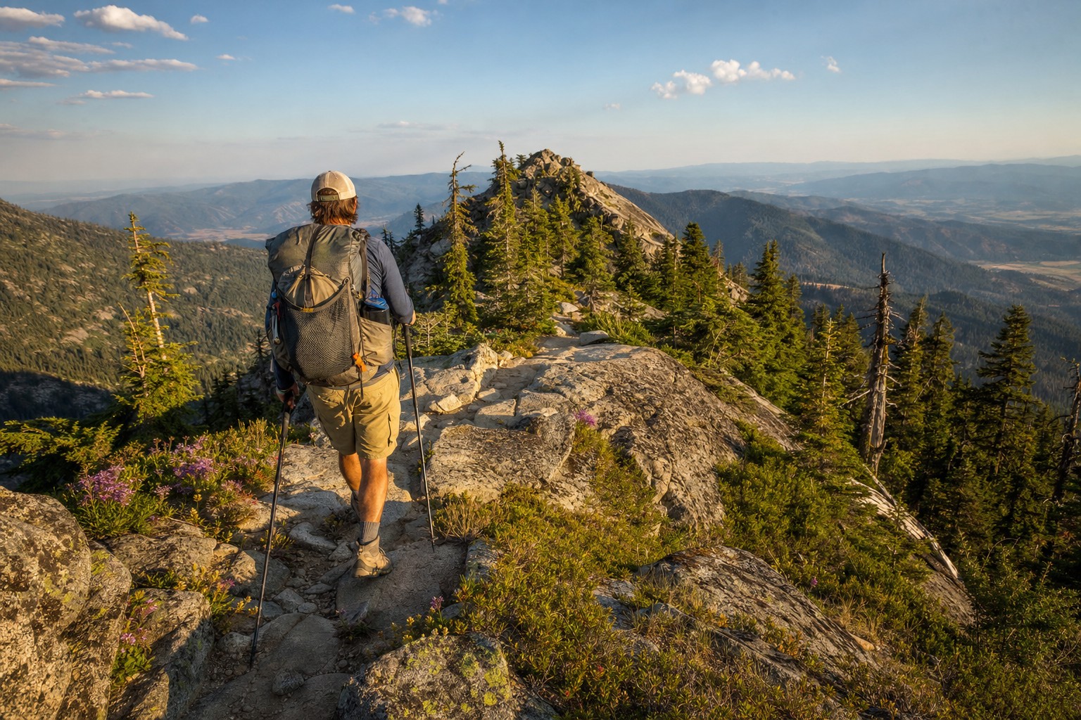
From the trailhead, the route climbs steadily south through open ponderosa stands. The first two miles gain elevation gradually along a ridgeline with occasional eastward views toward the Maury Mountains. At around mile 3.5, the forest transitions to a mix of Douglas fir and western larch as you gain the upper plateau.
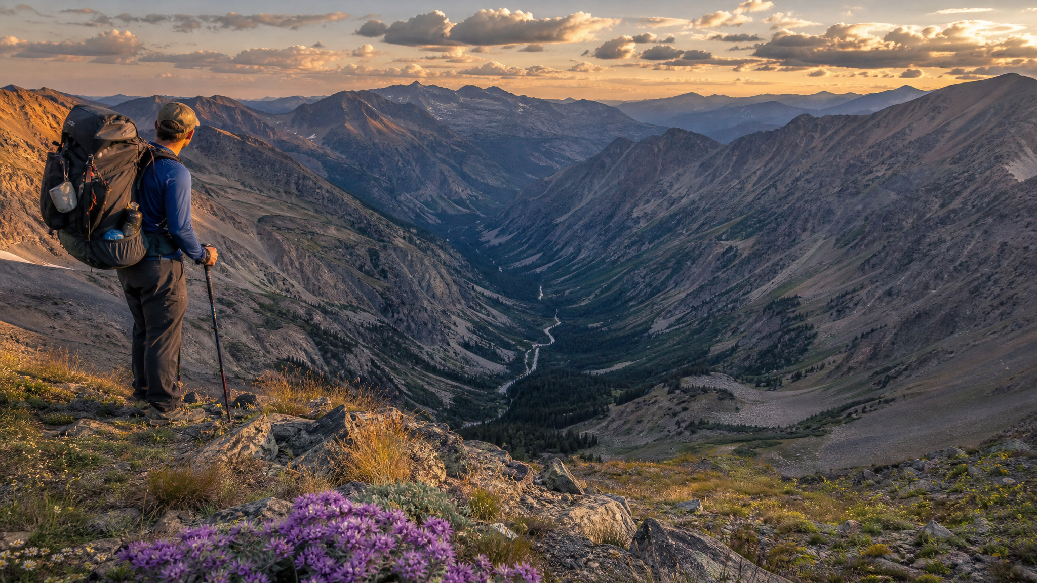
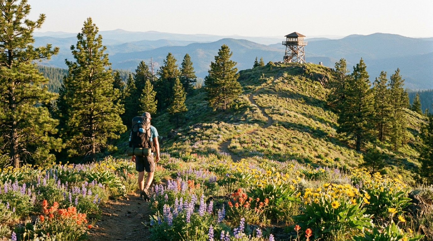
The final push to the Lookout Mountain summit is the most demanding stretch of the loop — roughly 600 feet gained in 1.5 miles across rocky, open terrain. At the top, the old fire lookout site offers 360-degree views that span from the Three Sisters and Broken Top to the west, across the Maury Mountains to the south, and toward the Blue Mountains to the northeast on clear days.
Camp in the designated areas on the north flank of the summit ridge. Water is seasonal — a snow-fed spring typically runs through July, and small drainages on the descent route hold water into August. Carry extra water from camp if you plan a late-season trip.
Wildlife Note
The Ochoco high country supports mule deer, Rocky Mountain elk, black bears, and raptors. The open summit meadows are excellent for morning wildlife observation. Keep a clean camp — the Ochocos do have active black bear populations, and food should be hung or stored in a bear canister.
Day 2: Summit to Wiley Creek Drainage (6 miles)
The second day drops off the south and east flanks of the plateau into the Wiley Creek drainage — a complete change in character from the open ridge above. Denser forest, a functioning year-round stream, and several good campsites at the creek level. The descent is well-maintained trail through mixed conifers with occasional wildflower openings in June and early July.
Wiley Creek itself is a small but reliable water source through most of the season. Filter everything — cattle grazing occurs in the lower Ochoco drainages, and giardia is a realistic concern. A gravity filter setup is ideal for group camp use.
Good camp spots exist at approximately mile 12 and mile 13.5 along the drainage. The 13.5-mile site has better tree canopy for wind protection if an afternoon thunderstorm rolls in — not uncommon in the Ochocos during July and August.
Day 3: Wiley Creek Back to Ochoco Divide (5 miles)
The final day is the most straightforward — a steady but not punishing climb back north and west to regain the Ochoco Divide. The trail follows a series of ridgeline benches through open ponderosa parkland, passing several viewpoints overlooking the Crooked River drainage to the west. This stretch feels pastoral compared to the technical summit terrain — legs are tired but the walking is pleasant.
Arrive back at the trailhead by mid-morning if you start moving by 7 AM on day three. Prineville is 16 miles west and offers a diner, a gas station, and, if you time it right, a legitimate excuse to eat breakfast twice.
Ochoco Backpacking: What to Expect
The Ochocos are not the Cascades and not the Wallowas. They are quieter, drier, lower in profile, and more forgiving for intermediate backpackers. You will not encounter the permit congestion of the Three Sisters or the elevation stress of Eagle Cap. What you will find is genuine solitude, decent trail conditions, wildlife, and a forest ecosystem that still looks like Oregon used to before the crowds arrived.
The Ochoco Wilderness was de-designated decades ago, which means mountain bikes and motorized use occur in some adjacent areas. The Lookout Mountain Trail corridor is non-motorized and the most protected section of the range. Midweek visits in June or September are essentially crowd-free.
Leave No Trace in the Ochocos
The Ochoco National Forest is a working forest — it does not have the protected designation of wilderness areas in the Cascades. That makes low-impact travel even more important. Camp at least 200 feet from water sources, use existing fire rings only, and pack out all waste including food scraps. The agency monitors use levels and has discussed additional permit requirements; keeping the area clean keeps access open.
If the Deschutes and the Cascades are on your standard rotation, put the Ochoco Lookout Mountain loop on the calendar for this summer. You will have the trail to yourself, and you will deserve the summit view.