You know a destination has earned its reputation when you have heard about it from a fly fisherman, a backpacker, a hot spring chaser, and a trail runner—all separately. Umpqua Hot Springs checks every box for a perfect Oregon two-day trip: a legitimate river canyon hike along one of the state most beautiful stretches of wild water, a thermal soak in a setting that looks like it was designed by someone who had spent too much time studying National Geographic, and a free camping experience that rewards those willing to carry their gear in rather than drive to the nearby parking area.
Location and Overview
Umpqua Hot Springs are located on the North Umpqua River in Douglas County, within the Umpqua National Forest, roughly 60 miles east of Roseburg on Highway 138. The springs themselves sit at the top of a 50-foot rocky outcrop directly above the river—a series of small rock pools fed by 108–115°F geothermal water that cools as it flows downhill into progressively cooler soaking pools.
The popular (and crowded) approach is a 0.3-mile walk from the Umpqua Hot Springs Trailhead on Forest Road 3401. The backpacker approach—the route described here—follows the North Umpqua Trail (NUT) from the west, turning a walk-in hot spring visit into a proper backcountry trip with miles of stunning canyon hiking.
The Route: Toketee Lake Trailhead to Umpqua Hot Springs
Trailhead: Toketee Falls and Toketee Lake Area
Park at the Toketee Lake Trailhead off Forest Road 34, about 2 miles north of Highway 138 near the Toketee Ranger Station turnoff. This puts you on the North Umpqua Trail heading east, with the river on your right and basalt canyon walls rising above.
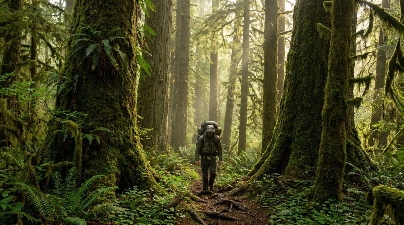
Day 1: Toketee Lake to Surprise Falls Camp (8–10 miles)
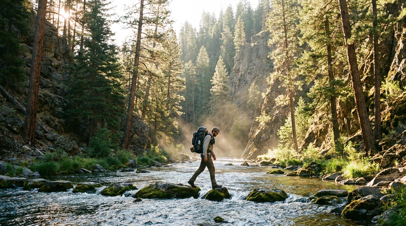
The first day follows the NUT through old-growth Douglas fir, past the thundering Toketee Falls overlook (worth the short detour—one of Oregon most spectacular waterfalls), and along the river deep blue-green canyon pools. The trail rolls through light elevation gain and loss as it winds with the river. Fishing pressure is low on this stretch; carry a rod if you have it—native cutthroat and wild rainbow hold in the deep pools below the canyon walls.
Camp at any of the dispersed sites in the Surprise Falls area, roughly 8–10 miles in. These flat, well-drained sites sit above the river with fire rings in place. Water is abundant from the North Umpqua—filter everything.
Day 2: Surprise Falls Camp to Umpqua Hot Springs and Out
The second day is shorter (3–5 miles) and ends at the springs. The trail climbs slightly through mixed conifer before dropping to the river near the springs access point. The NUT passes directly below the springs—watch for the boot path heading uphill to the left at the obvious rocky outcrop. The springs are visible and audible (steam, conversation) once you are in the right area.
Soak as long as you like, then exit via the short trail to the parking area on FR 3401, where a vehicle shuttle saves you the return hike. If you have not arranged a shuttle, reverse your route for a 2-day out-and-back.
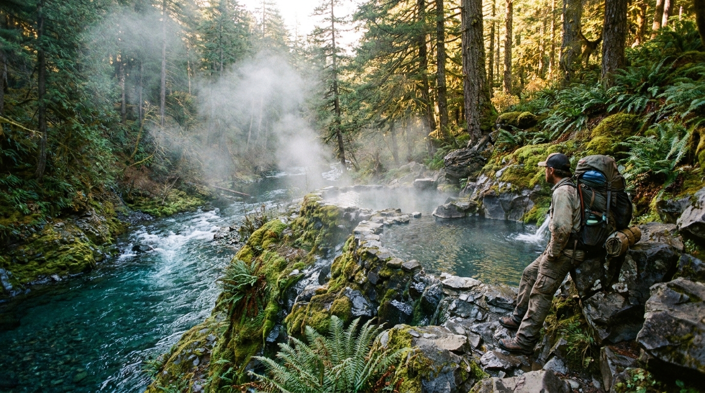
Umpqua Hot Springs: What to Expect
The main soaking area consists of 3–5 rock pools of varying sizes and temperatures, stacked vertically on the hillside. The upper pool runs hottest (105–115°F), with lower pools cooling progressively. A small wooden shelter covers the top pool—welcome in Oregon frequent afternoon showers.
Arrive early on weekdays. The springs draw large weekend crowds, particularly from Memorial Day through Labor Day. Weekday mornings—especially Monday through Wednesday—offer a substantially quieter experience. Backpackers arriving mid-morning on a Tuesday often have the pools to themselves for an hour or two before day users arrive.
No glass containers. Leave the site cleaner than you found it. The springs are managed by the Umpqua National Forest and are technically clothing-optional, though social norms vary by crowd.
Gear Notes for This Route
- Footwear: The NUT has significant rock and root on this stretch. A trail runner with good grip handles it fine, but old-school leather hikers will be comfortable too. Avoid road shoes.
- Water: North Umpqua water is cold and plentiful. Carry a quality filter (Sawyer Squeeze or similar) and you will never go thirsty. The river carries giardia risk like all backcountry sources.
- Bugs: Early season (May–June) can have significant mosquito pressure in the lower canyon. A head net is worth the half-ounce. By mid-July, bugs are manageable.
- Fire: Check current fire restrictions before your trip. Eastern Douglas County sees significant fire danger by late July, and campfire restrictions are common. Carry a camp stove regardless.
- Shuttle logistics: Leave a vehicle at the Umpqua Hot Springs Trailhead the night before and drive your main vehicle to Toketee Lake. The drive between the two trailheads is roughly 12 miles.
Permits and Regulations
As of 2026, the Umpqua Hot Springs area requires a Northwest Forest Pass for day use parking. Overnight backpackers camping along the NUT should practice Leave No Trace principles—dispersed camping is permitted in the Umpqua National Forest outside of designated no-camping zones near the springs themselves. Check with the North Umpqua Ranger District in Toketee Falls for current conditions and any seasonal closures before your trip.
The Bigger Picture
The North Umpqua Trail runs 79 miles from near Swiftwater Park to Maidu Lake in the Cascades. The Toketee-to-Hot Springs segment is one of the most accessible and rewarding stretches of the entire trail, combining classic Pacific Northwest river canyon scenery with a destination payoff that few other routes in the state can match. If this two-day trip leaves you wanting more, the trail continues east into the Mount Thielsen Wilderness and the high Cascade crest—a world-class extension for those with more time and appetite for miles.
Pack light, filter your water, and get to the springs before the weekend crowd. Oregon does not hide treasures like this forever.