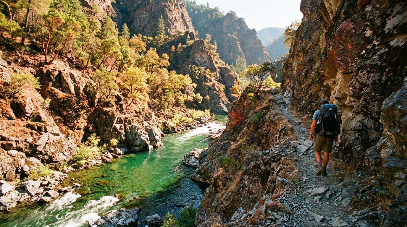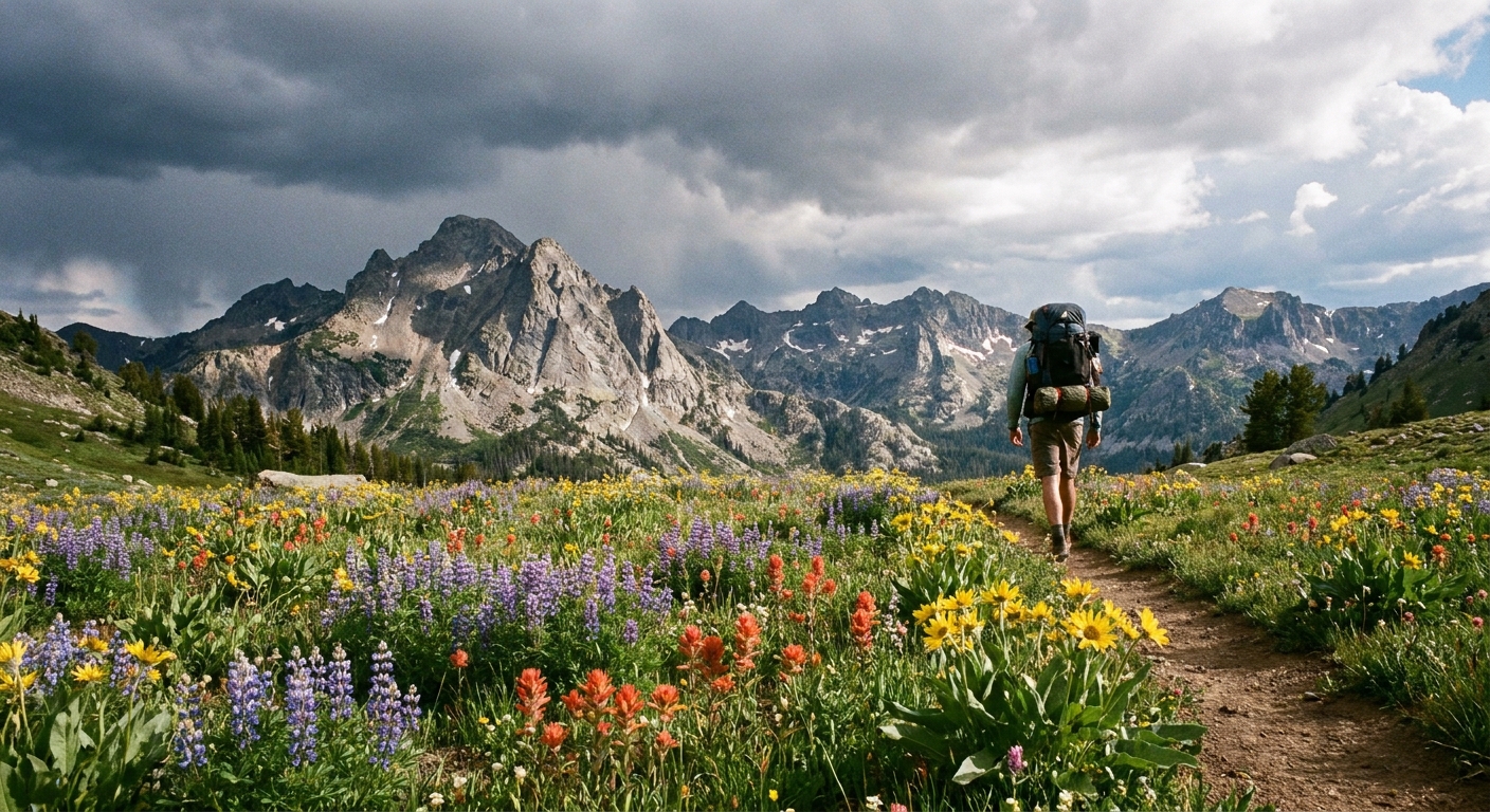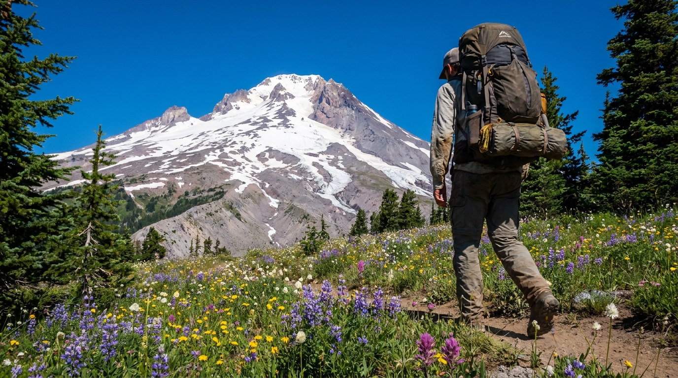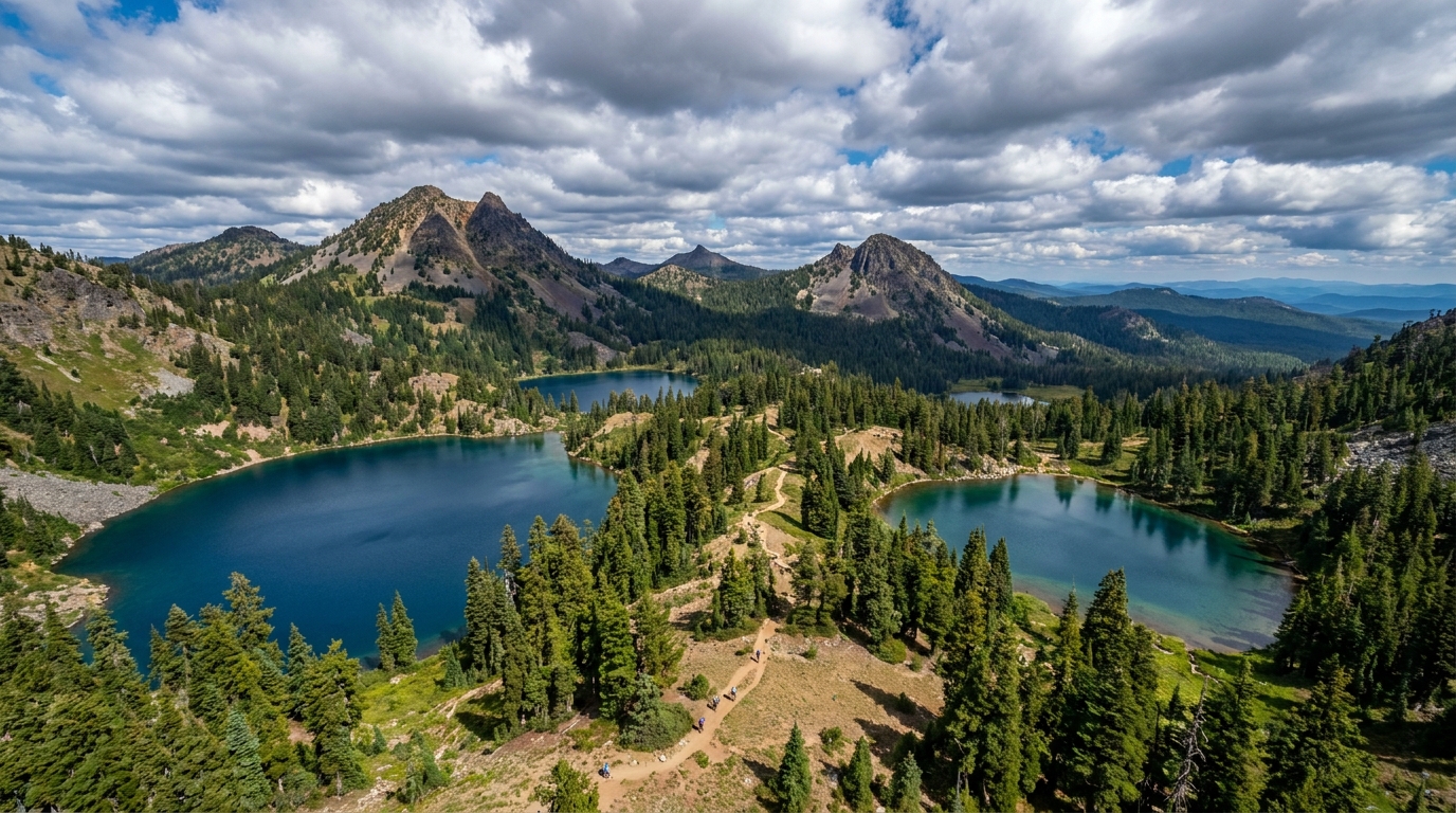
Ask most Oregon backpackers where they're going and you'll hear Eagle Cap, Three Sisters, or the Wallowas. That's fine — those are great places. But it means the Sky Lakes Wilderness, tucked between Crater Lake National Park and the Upper Klamath Basin in southern Oregon, gets a fraction of the attention it deserves. More than 200 lakes and ponds scattered across a high volcanic plateau, accessible trails, and reliably clear summer weather make it one of the state's most rewarding trips for backpackers willing to do a little homework.
The Lay of the Land
The Sky Lakes Wilderness covers 116,300 acres of the southern Cascades, straddling the boundary between the Rogue River-Siskiyou and Winema-Ochoco National Forests. The terrain is classic High Cascade: broad, relatively gentle ridgelines punctuated by volcanic peaks, with the dominant features being Mount McLoughlin (9,495 ft) rising above the western edge and the broad Sky Lakes Basin spreading across the center and east.
Elevations range from around 3,800 feet at lower trailheads to just over 9,000 feet on the highest ridges. Most lake basins sit between 5,500 and 7,500 feet, where the walking is moderate and the views are expansive.
When to Go
The Sky Lakes Wilderness is firmly a summer-through-early-fall destination. Snow can linger into June at higher elevations, and trails above 6,500 feet may require route-finding until early July in heavy snow years. The sweet spot is mid-July through mid-September.
- Late July: Mosquitoes at peak (bring heavy bug protection — this area is notorious for dense swarms near water)
- August: Best all-around conditions, mosquitoes declining, water levels still adequate
- September: Crowds thin dramatically, bug pressure nearly gone, morning frost possible above 7,000 ft, but often the best weather of the summer
Do not underestimate the mosquitoes in July. This is not hyperbole — experienced Oregon backpackers rank the Sky Lakes among the worst bug environments in the state during peak season. Head net, permethrin-treated clothing, and DEET are not optional in late June or July.
Trailheads and Access
The wilderness is accessed from both the west (Rogue River-Siskiyou NF side) and east (Winema-Ochoco NF side). The east-side trailheads via Klamath Falls and Highway 140 are generally more direct for the main Sky Lakes Basin:
- Nannie Creek Trailhead: Off Forest Road 3484 north of Klamath Falls. One of the most popular entries into the Sky Lakes Basin. Well-signed from Highway 140.
- Cold Springs Trailhead: East-side access, shorter route to the upper basin. Popular for weekend trips.
- Fourmile Lake Trailhead: Excellent access with a Forest Service campground at the trailhead. Great base for day hikes and an easy entry for first-timers.
- Seven Lakes Basin Trailhead (Sevenmile Trailhead): West-side access from Medford/Ashland area. Longer approach but accesses a stunning sub-basin rarely crowded by Sky Lakes standards.
A Northwest Forest Pass or America the Beautiful Pass is required at most trailheads. Check the Fremont-Winema National Forest website for current access road conditions — some Forest Roads are seasonal.
Classic Routes
Sky Lakes Basin Loop (3–4 Days, ~25 Miles)
The most comprehensive introduction to the wilderness. Enter via Nannie Creek or Cold Springs, drop into the heart of the Sky Lakes Basin (Heavenly Twin Lakes, Isherwood Lake, Lake Notasha), traverse north along the Pacific Crest Trail, and loop back through marginal lake country. You'll pass 30+ lakes with dozens of potential camp spots. Moderate elevation gain, no technical terrain.
Seven Lakes Basin (2–3 Days, ~18 Miles)
The Seven Lakes Basin on the west side feels like a different wilderness. Deeper forest cover, more dramatic relief, and the basin's centerpiece lakes (Alta Lake, Middle Lake, Cliff Lake) are among the most scenic in the region. Connect to the Pacific Crest Trail at Devils Peak for ridge views of Mount McLoughlin and Crater Lake's rim on clear days.
Mount McLoughlin Summit Approach
McLoughlin is a legitimate peak objective — steep talus and potential snow on the upper slopes in early season, but non-technical in summer. The standard route from the north is a day hike from the McLoughlin Trailhead, but backpackers can set a high camp and summit before crowds. Expect 5 miles and 3,900 feet of gain round trip from the trailhead.
Camping and Leave No Trace
With 200+ lakes, camp spots are abundant but the ecology is fragile. Follow these guidelines to protect the wilderness:
- Camp at least 200 feet from any water source or trail
- Use established fire rings where present — campfires are prohibited in some zones and during fire season; check current restrictions at inciweb.nwcg.gov
- Pack out all waste including food scraps; bear canisters are not required but a bear hang is
- Filtration is mandatory — Giardia is present in wilderness water throughout the Oregon Cascades
- Disperse camping rather than concentrating at the most scenic lakes; lesser-visited lakes provide equivalent camping with less impact
Wildlife
Black bears are present throughout the wilderness — standard food storage protocol applies. Deer are common at lower elevations, and the high basins hold populations of pikas and marmots in rocky areas. Osprey and bald eagles fish the larger lakes. The fishing in Sky Lakes Wilderness deserves its own article — rainbow trout, brook trout, and the occasional brown trout populate many of the larger lakes, and a summer evening rise in a wilderness lake surrounded by volcanic peaks is an experience worth every mile of approach trail.
Gear Notes for the Sky Lakes
- Shelter: Bring a shelter with solid bug netting — mesh-door tarps are not adequate in peak mosquito season
- Footwear: Trails are generally smooth volcanic pumice and rock — trail runners are adequate for most loops; light boots for those wanting ankle support on boulder fields near McLoughlin
- Layers: Afternoon thunderstorms are possible in July and August; always carry rain gear regardless of the morning forecast
- Maps: National Geographic Trails Illustrated Map #1041 (Sky Lakes) covers the wilderness well; download CalTopo or Gaia GPS maps offline before you leave cell range
The Sky Lakes Wilderness won't put you on Instagram alongside the iconic peaks. It's quieter than that — a broad, lake-studded plateau where the walking is easy, the fishing is good, and you can sit at the edge of a high lake at sunset and hear nothing but the wind and the occasional splash of a rising trout. That's worth the drive to Klamath Falls.